Nederland
Alle provincies
Nederland is verdeeld in 12 provincies. Elke provincie heeft een eigen hoofdstad, administratieve grens en regionaal karakter. Verken ze hieronder.
12
Provincies
41 546
Totale oppervlakte km²
–
Bevolking
11 540 485
Gebouwen
6 389
Postcodes
Interactieve kaart
Klik op een provincie voor detailsAlle provincies
12 provincies
Drenthe
Hoofdstad: Assen
2 680
Oppervlakte km²
–
Gemeenten
409 118
Gebouwen
205
Postcodes
Flevoland
Hoofdstad: Lelystad
2 413
Oppervlakte km²
–
Gemeenten
294 670
Gebouwen
109
Postcodes
Fryslân
Hoofdstad: Leeuwarden
5 753
Oppervlakte km²
–
Gemeenten
545 382
Gebouwen
321
Postcodes
Gelderland
Hoofdstad: Arnhem
5 137
Oppervlakte km²
–
Gemeenten
1 576 537
Gebouwen
863
Postcodes
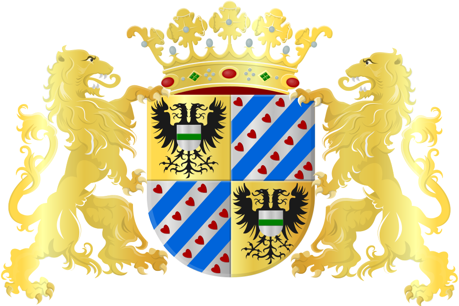
Groningen
Hoofdstad: Groningen
2 955
Oppervlakte km²
–
Gemeenten
430 290
Gebouwen
276
Postcodes
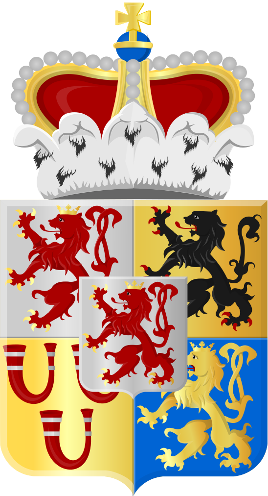
Limburg
Hoofdstad: Maastricht
2 210
Oppervlakte km²
–
Gemeenten
833 835
Gebouwen
355
Postcodes
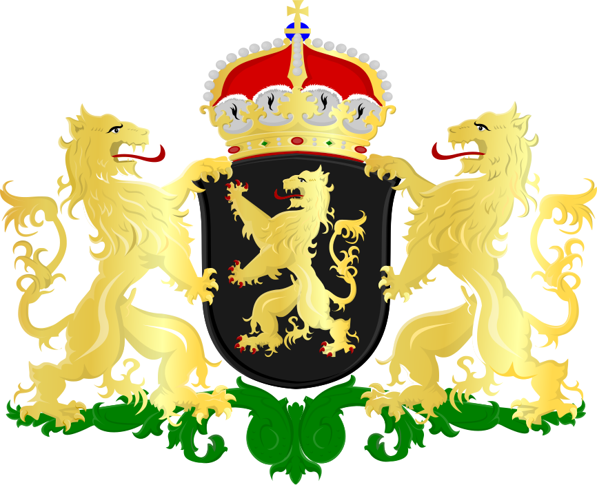
Noord-Brabant
Hoofdstad: 's-Hertogenbosch
5 083
Oppervlakte km²
–
Gemeenten
1 940 686
Gebouwen
413
Postcodes
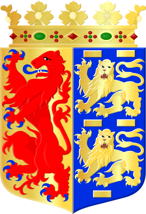
Noord-Holland
Hoofdstad: Haarlem
4 092
Oppervlakte km²
–
Gemeenten
1 548 383
Gebouwen
1794
Postcodes
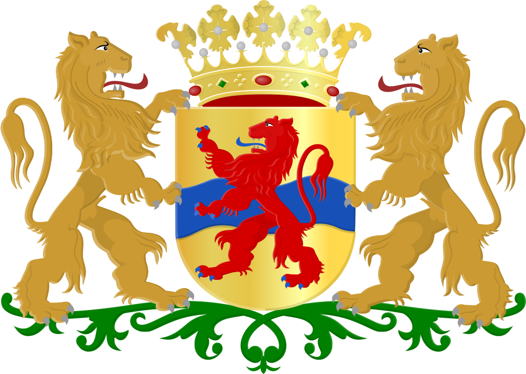
Overijssel
Hoofdstad: Zwolle
3 421
Oppervlakte km²
–
Gemeenten
832 070
Gebouwen
393
Postcodes
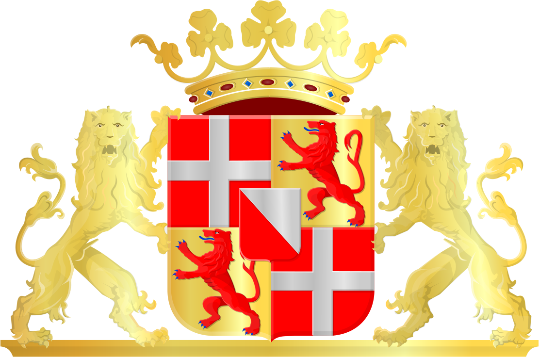
Utrecht
Hoofdstad: Utrecht
1 560
Oppervlakte km²
–
Gemeenten
820 570
Gebouwen
536
Postcodes
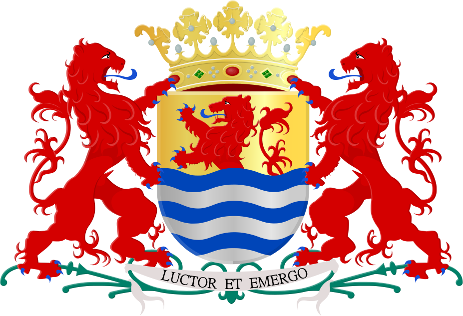
Zeeland
Hoofdstad: Middelburg
2 933
Oppervlakte km²
–
Gemeenten
379 072
Gebouwen
104
Postcodes

Zuid-Holland
Hoofdstad: Den Haag
3 308
Oppervlakte km²
–
Gemeenten
1 929 872
Gebouwen
1020
Postcodes
Provincieranglijsten
Alle 12 provincies vergeleken
Op oppervlakte
Op gemeenten
Op gebouwen
Onderlinge vergelijking
Alle provincies op dezelfde schaalOppervlakte (km²)
Gebouwen