Beneden-Leeuwen
(Beneden-Leeuwen · Beneden-Leeuwen)village · West Maas en Waal · Gelderland
Postcode: 6627KS (Dreumel)
Overview
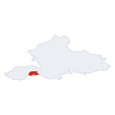
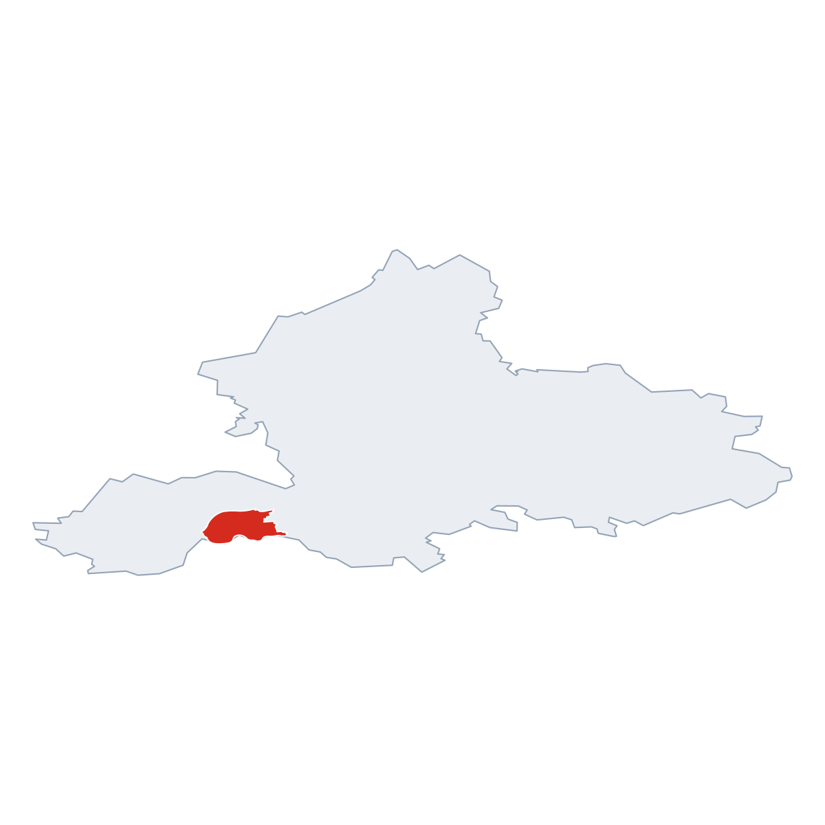
12 nearby places · 8 districtsBeneden-Leeuwen is a village in municipality West Maas en Waal. Click a district on the map to explore it. Population: 6 376. Postcode: 6627KS.
City Maps
SVG and PNG downloads

Postcodes
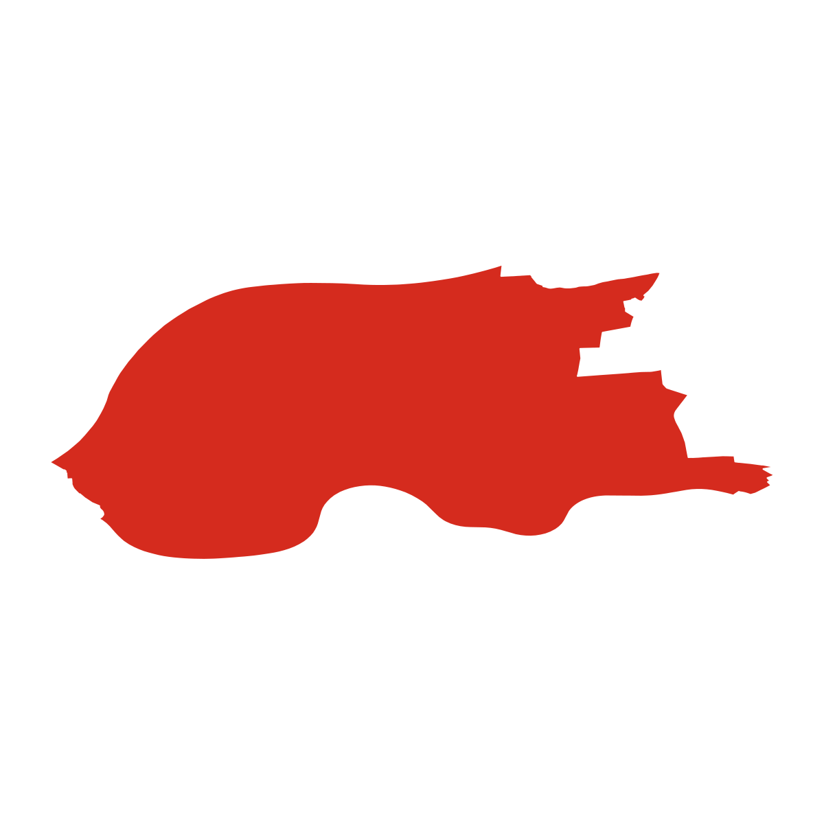
16 postcode zones within West Maas en WaalMunicipal seat of West Maas en Waal, covers Beneden-Leeuwen 85 km²: The postcodes are 6627KS, 4156JT, 6658KD, 4001LZ, 6602NA, 5331KB, 6631KP, 5345DA, 5397GL, 6658KX, 4005EH, 4007MC, 6626BA, 6658DC, 4053HJ, 4053JA. Combined population: 18 770 · 152 buildings.
Click a postcode zone on the map for details.
| Code | Name | Population | Buildings | Area km² | |
|---|---|---|---|---|---|
| 4001LZ CITY | Tiel | 12 883 | 14 | 11.6 km² | View → |
| 4005EH CITY | - | 5 312 | 6 | 4.8 km² | View → |
| 4007MC CITY | Zennewijnen | 2 730 | 6 | 2.5 km² | View → |
| 4053HJ CITY | IJzendoorn | 2 568 | 1 | 16.8 km² | View → |
| 4053JA CITY | - | 396 | 1 | 2.6 km² | View → |
| 4156JT CITY | Geldermalsen | 10 220 | 15 | 203.6 km² | View → |
| 5331KB CITY | Kerkdriel | 6 334 | 13 | 62.8 km² | View → |
| 5345DA CITY | Oss | 95 239 | 8 | 151.1 km² | View → |
| 5397GL CITY | Lith | 3 145 | 7 | 19.8 km² | View → |
| 6602NA CITY | Wijchen | 36 275 | 13 | 69.6 km² | View → |
| 6626BA CITY | Alphen | 2 032 | 5 | 5.4 km² | View → |
| 6627KS CITY | Dreumel | 6 614 | 46 | 70.0 km² | View → |
| 6631KP CITY | Druten | 13 885 | 9 | 42.5 km² | View → |
| 6658DC CITY | - | 344 | 5 | 4.6 km² | View → |
| 6658KD CITY | - | 323 | 14 | 4.3 km² | View → |
| 6658KX CITY | Beneden-Leeuwen | 72 | 6 | 1.0 km² | View → |
Postal Services
1 facilityBeneden-Leeuwen has facility: 1 post office.
Public Transport
39 stops within West Maas en WaalBeneden-Leeuwen has good public transport links within the municipality.
Click a route on the map to see details.
Symbols
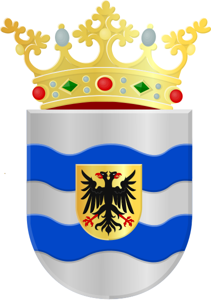
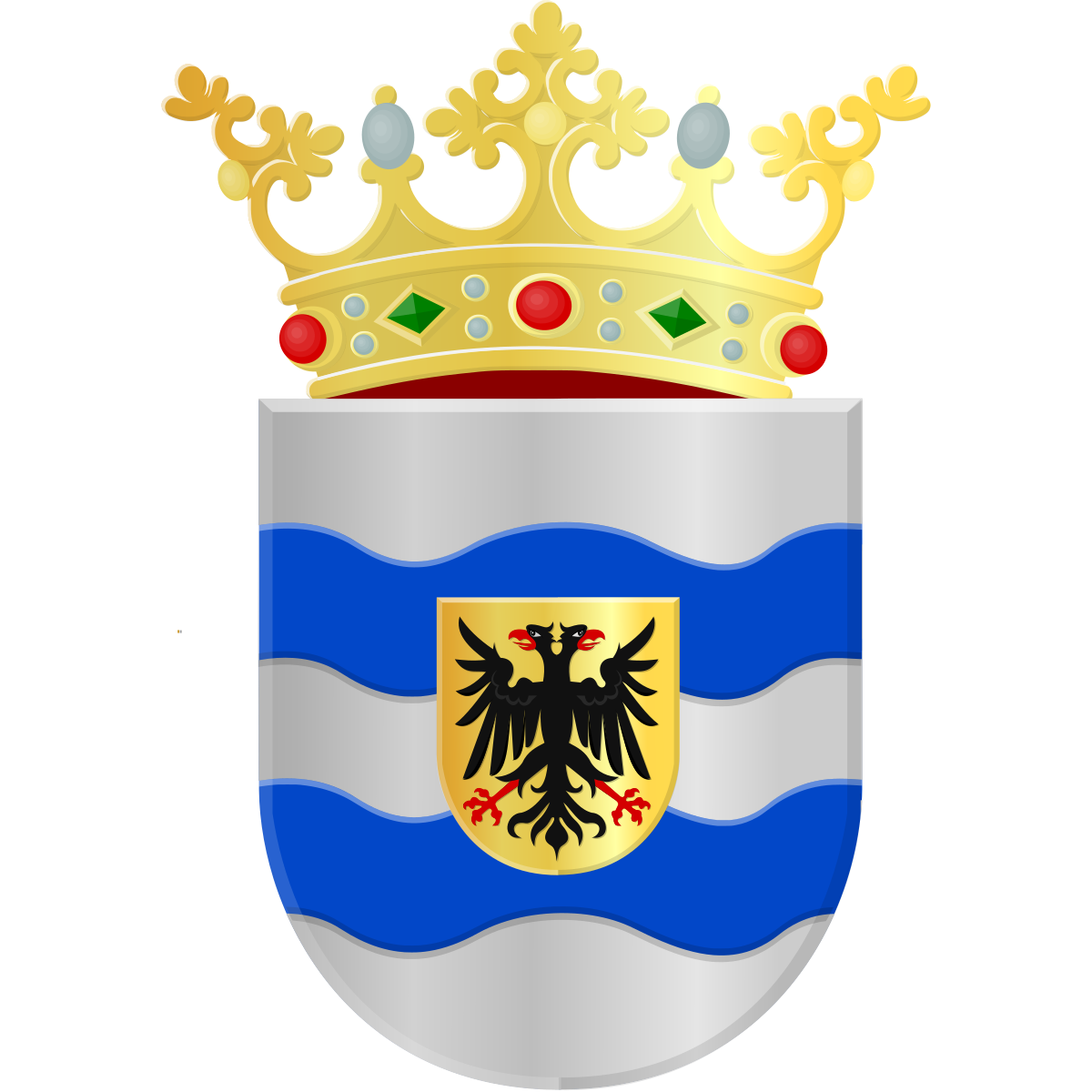
Coat of arms & FlagThe official symbols of Beneden-Leeuwen include the coat of arms and flag.



City Rankings
Among 2436 cities in the NetherlandsBeneden-Leeuwen ranks 460th by population (of 2436), 205th by area (of 2463), 313th by buildings (of 2470) among cities in the Netherlands.
Frequently Asked Questions about Beneden-Leeuwen
Quick answers about this placeWhich province is Beneden-Leeuwen in?
Beneden-Leeuwen is located in province . Gelderland.
What is the postcode of Beneden-Leeuwen?
Beneden-Leeuwen has 16 postcodes: 6627KS, 4156JT, 6658KD, 4001LZ, 6602NA, 5331KB, 6631KP, 5345DA, 5397GL, 6658KX, 4005EH, 4007MC, 6626BA, 6658DC, 4053HJ, 4053JA. Dutch postcodes consist of 4 digits followed by 2 letters.
How many people live in Beneden-Leeuwen?
Beneden-Leeuwen has a population of 6 376 residents.
What is the elevation of Beneden-Leeuwen?
Elevation data for Beneden-Leeuwen is not currently available.
Which municipality is Beneden-Leeuwen in?
Beneden-Leeuwen does not have municipality data available.
Is Beneden-Leeuwen a capital city?
Yes, Beneden-Leeuwen serves as the capital of West Maas en Waal (District) .
Are there post offices in Beneden-Leeuwen?
Beneden-Leeuwen has 1 postal facility, including 1 post office. The nearest post office is Post office.
Is there public transport near Beneden-Leeuwen?
There are 39 stops transit stops near Beneden-Leeuwen. The closest stops are Veer Maasbommel, Appeltern, veerstoep, Nieuwe Schans, veerstoep.