
South Holland
(Zuid-Holland · جنوب هولندا · Южна Холандия)Province of the Netherlands
Capital: The Hague
Cities & Towns
410 places totalSouth Holland covers 3 308 km². The provincial capital is The Hague.The province has a population of 3 744 286, with a density of 1 132 people per km². The largest city by population is Rotterdam (572 392 residents).
380 more places in South Holland not shown.
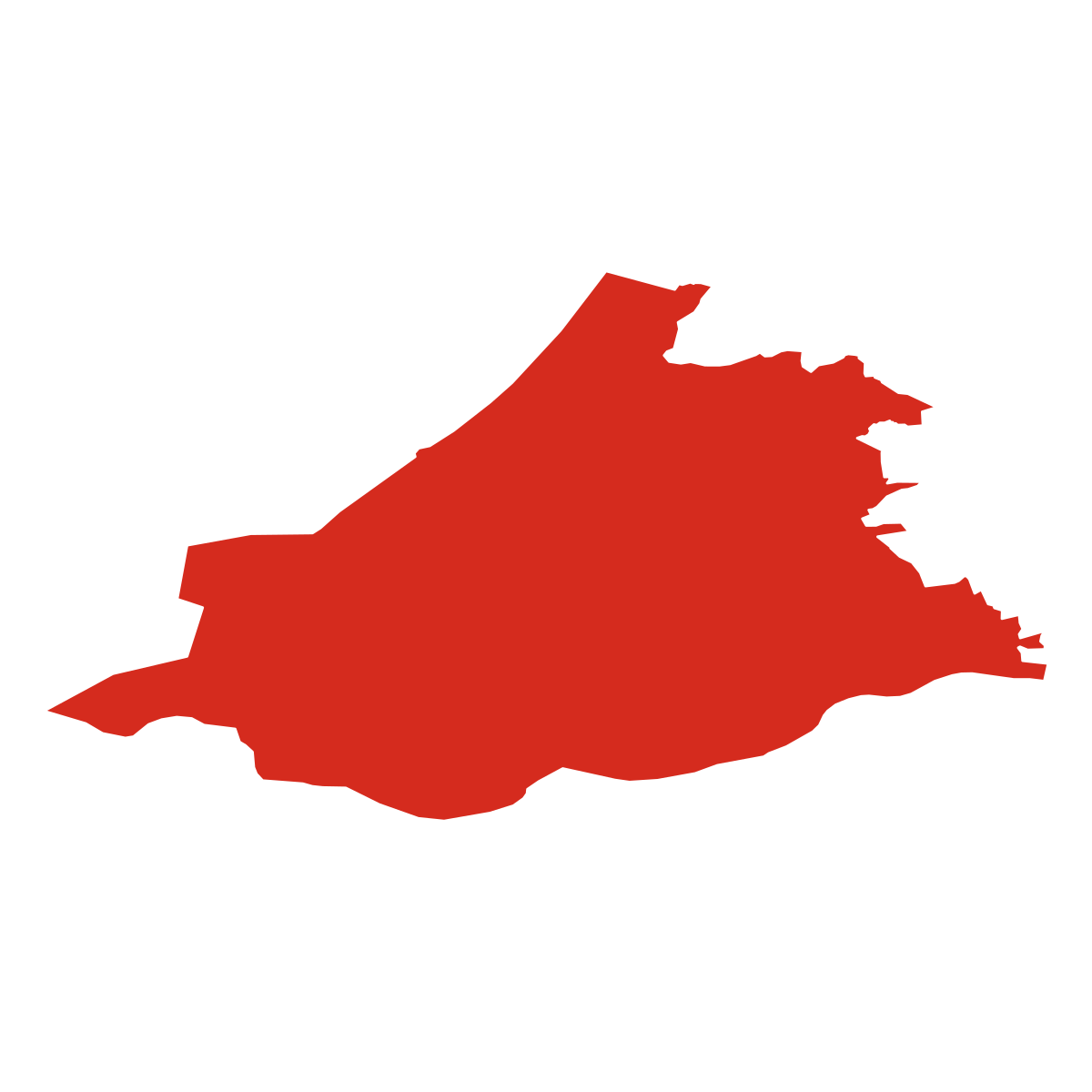
Province Maps
SVG and PNG downloads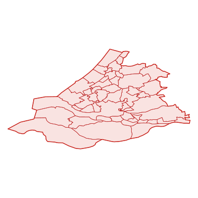
Postcodes
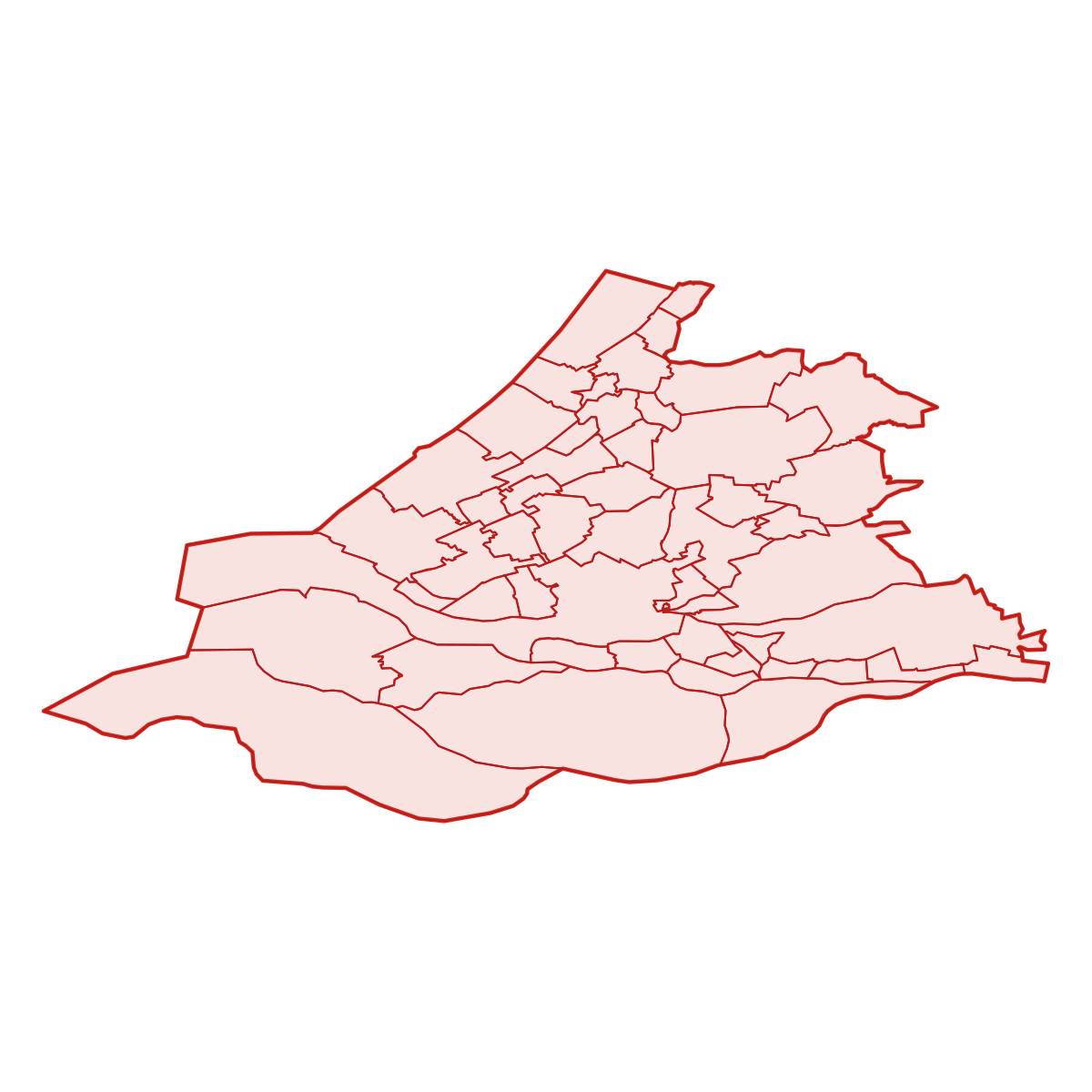
387 postcodesSouth Holland has 387 postcode areas covering 7 843 km² with 7 367 buildings. South Holland uses the prefixes 2 / 3 / 4 - postcodes in South Holland start with 2xxx, 3xxx, 4xxx (these zones). The postcode with the most buildings is 2242JP (170 buildings).
| # | Code / Name | Population | Area | Buildings | |
|---|---|---|---|---|---|
| 1 | 3039GZ | 636 172 | 297.58 km² | 49 | View → |
| 2 | 2586ZZ | 442 438 | 82.58 km² | 49 | View → |
| 3 | 2334GK | 99 045 | 18.63 km² | 34 | View → |
| 4 | 2407BN | 72 820 | 110.96 km² | 37 | View → |
| 5 | 2235CL | 34 117 | 20.75 km² | 32 | View → |
| 6 | 2421NB | 18 138 | 63.03 km² | 57 | View → |
| 7 | 2242JP | 14 530 | 34.8 km² | 170 | View → |
| 8 | 2362XE | 14 331 | 22.74 km² | 43 | View → |
| 9 | 3253MJ | 9 201 | 277.59 km² | 31 | View → |
| 10 | 2244BH | 8 542 | 20.46 km² | 79 | View → |
South Holland has 4573 postal facilities 151 Post Offices, 3857 Post Boxes, 565 Parcel Lockers.
Transport
60 lines across 132 routesClick a route on the map to see details. Zoom in to explore individual stops.
South Holland has a public transport network of 2151.2 km with 60 transit lines and 132 routes. It is served by 6 operators.
Full transport overviewPopulation & Building Density
By municipality| # | Municipality | Population | Pop/km² | Buildings | Bld/km² | Area km² |
|---|---|---|---|---|---|---|
| 1 | Den Haag | 525 745 | 5357 /km² | 167 480 | 1706 /km² | 98.1285 km² |
| 2 | Leiden | 123 753 | 5317 /km² | 58 891 | 2530 /km² | 23.2734 km² |
| 3 | Capelle aan den IJssel | 66 421 | 4312 /km² | 28 383 | 1842 /km² | 15.402 km² |
| 4 | Gouda | 77 818 | 4295 /km² | 39 309 | 2169 /km² | 18.1154 km² |
| 5 | Delft | 101 386 | 4213 /km² | 39 615 | 1646 /km² | 24.0636 km² |
| 6 | Schiedam | 77 890 | 3922 /km² | 25 253 | 1271 /km² | 19.8597 km² |
| 7 | Rijswijk | 51 027 | 3518 /km² | 23 713 | 1635 /km² | 14.5037 km² |
| 8 | Zoetermeer | 124 780 | 3367 /km² | 59 196 | 1597 /km² | 37.0559 km² |
| 9 | Krimpen aan den IJssel | 29 123 | 3253 /km² | 18 460 | 2062 /km² | 8.9502 km² |
| 10 | Maassluis | 32 484 | 3208 /km² | 18 122 | 1789 /km² | 10.1256 km² |
| 11 | Papendrecht | 32 295 | 2992 /km² | 18 348 | 1700 /km² | 10.7916 km² |
| 12 | Oegstgeest | 23 608 | 2962 /km² | 14 830 | 1861 /km² | 7.9681 km² |
| 13 | Vlaardingen | 71 991 | 2696 /km² | 28 407 | 1064 /km² | 26.6942 km² |
| 14 | Hendrik-Ido-Ambacht | 29 730 | 2497 /km² | 19 529 | 1640 /km² | 11.9025 km² |
| 15 | Rotterdam | 740 704 | 2284 /km² | 224 788 | 693 /km² | 324.1755 km² |
| 16 | Barendrecht | 48 344 | 2224 /km² | 29 214 | 1344 /km² | 21.7333 km² |
| 17 | Leiderdorp | 27 128 | 2209 /km² | 15 007 | 1222 /km² | 12.2768 km² |
| 18 | Voorschoten | 25 315 | 2189 /km² | 14 813 | 1281 /km² | 11.5609 km² |
| 19 | Leidschendam-Voorburg | 74 595 | 2093 /km² | 34 921 | 980 /km² | 35.6247 km² |
| 20 | Katwijk | 64 521 | 2071 /km² | 32 728 | 1050 /km² | 31.1505 km² |
| 21 | Alblasserdam | 20 005 | 1988 /km² | 12 407 | 1233 /km² | 10.0614 km² |
| 22 | Zwijndrecht | 44 425 | 1950 /km² | 27 101 | 1189 /km² | 22.778 km² |
| 23 | Ridderkerk | 45 385 | 1796 /km² | 26 026 | 1030 /km² | 25.2655 km² |
| 24 | Sliedrecht | 25 010 | 1784 /km² | 12 690 | 905 /km² | 14.016 km² |
| 25 | Gorinchem | 37 922 | 1728 /km² | 20 964 | 955 /km² | 21.9356 km² |
| 26 | Hillegom | 21 316 | 1582 /km² | 14 929 | 1108 /km² | 13.4674 km² |
| 27 | Lisse | 22 717 | 1414 /km² | 15 652 | 974 /km² | 16.0564 km² |
| 28 | Pijnacker-Nootdorp | 52 660 | 1363 /km² | 36 409 | 942 /km² | 38.6212 km² |
| 29 | Dordrecht | 122 435 | 1230 /km² | 69 148 | 695 /km² | 99.4804 km² |
| 30 | Westland | 106 340 | 1171 /km² | 84 519 | 931 /km² | 90.7453 km² |
| 31 | Hardinxveld-Giessendam | 22 347 | 1154 /km² | 12 919 | 667 /km² | 19.3577 km² |
| 32 | Waddinxveen | 32 015 | 1088 /km² | 22 687 | 771 /km² | 29.401 km² |
| 33 | Teylingen | 36 100 | 1077 /km² | 25 251 | 753 /km² | 33.4918 km² |
| 34 | Lansingerland | 60 042 | 1064 /km² | 41 194 | 730 /km² | 56.4011 km² |
| 35 | Albrandswaard | 25 095 | 1056 /km² | 17 306 | 728 /km² | 23.7585 km² |
| 36 | Nissewaard | 84 179 | 1004 /km² | 57 329 | 684 /km² | 83.8006 km² |
| 37 | Alphen aan den Rijn | 109 296 | 824 /km² | 72 795 | 549 /km² | 132.5146 km² |
| 38 | Zuidplas | 41 480 | 647 /km² | 31 980 | 499 /km² | 64.0571 km² |
| 39 | Noordwijk | 42 477 | 566 /km² | 31 705 | 423 /km² | 74.9468 km² |
| 40 | Wassenaar | 26 055 | 417 /km² | 19 733 | 316 /km² | 62.4126 km² |
| 41 | Midden-Delfland | 19 455 | 393 /km² | 15 227 | 308 /km² | 49.3851 km² |
| 42 | Bodegraven-Reeuwijk | 33 966 | 383 /km² | 27 357 | 308 /km² | 88.6555 km² |
| 43 | Voorne aan Zee | 71 321 | 375 /km² | 58 717 | 309 /km² | 189.8431 km² |
| 44 | Kaag en Braassem | 26 545 | 367 /km² | 24 246 | 335 /km² | 72.2496 km² |
| 45 | Krimpenerwaard | 55 680 | 345 /km² | 40 549 | 251 /km² | 161.2724 km² |
| 46 | Nieuwkoop | 28 106 | 308 /km² | 23 066 | 253 /km² | 91.1761 km² |
| 47 | Hoeksche Waard | 86 749 | 268 /km² | 73 476 | 227 /km² | 323.7189 km² |
| 48 | Molenlanden | 44 707 | 233 /km² | 37 517 | 195 /km² | 191.6707 km² |
| 49 | Goeree-Overflakkee | 51 368 | 121 /km² | 58 991 | 139 /km² | 422.371 km² |
| 50 | Zoeterwoude | 430 | 19 /km² | 6 975 | 317 /km² | 21.9604 km² |
Symbols
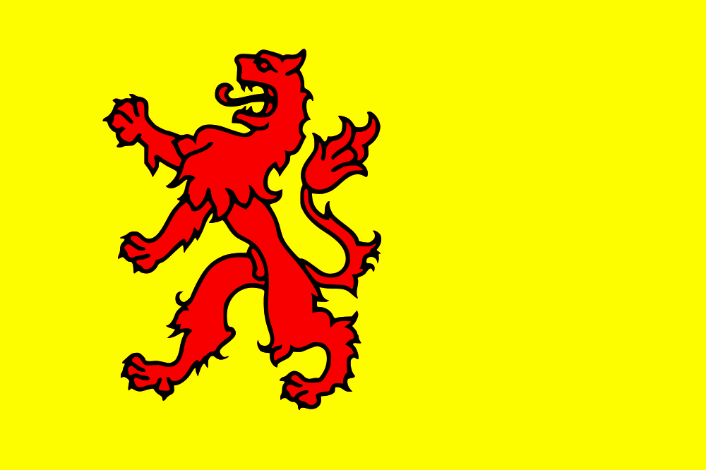
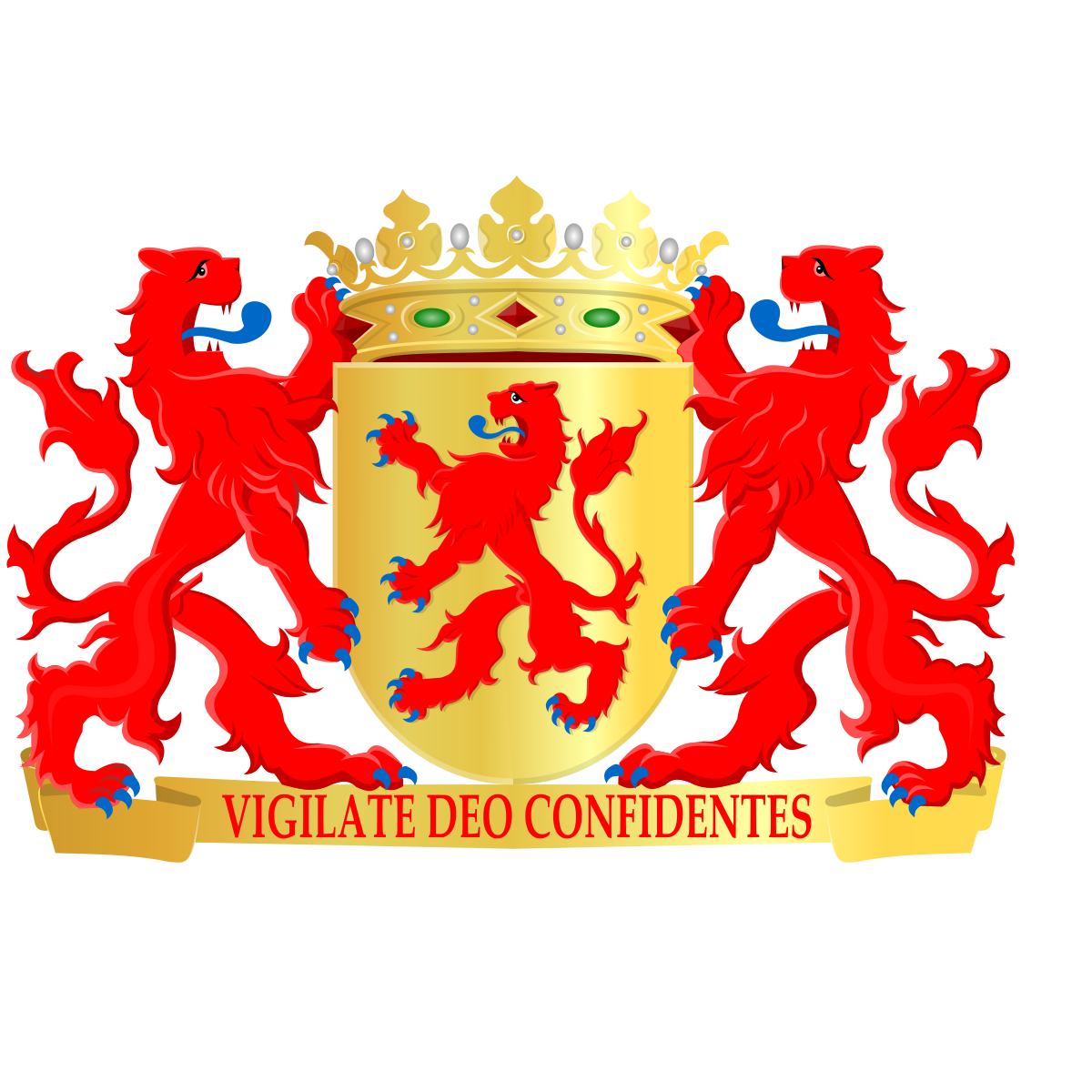
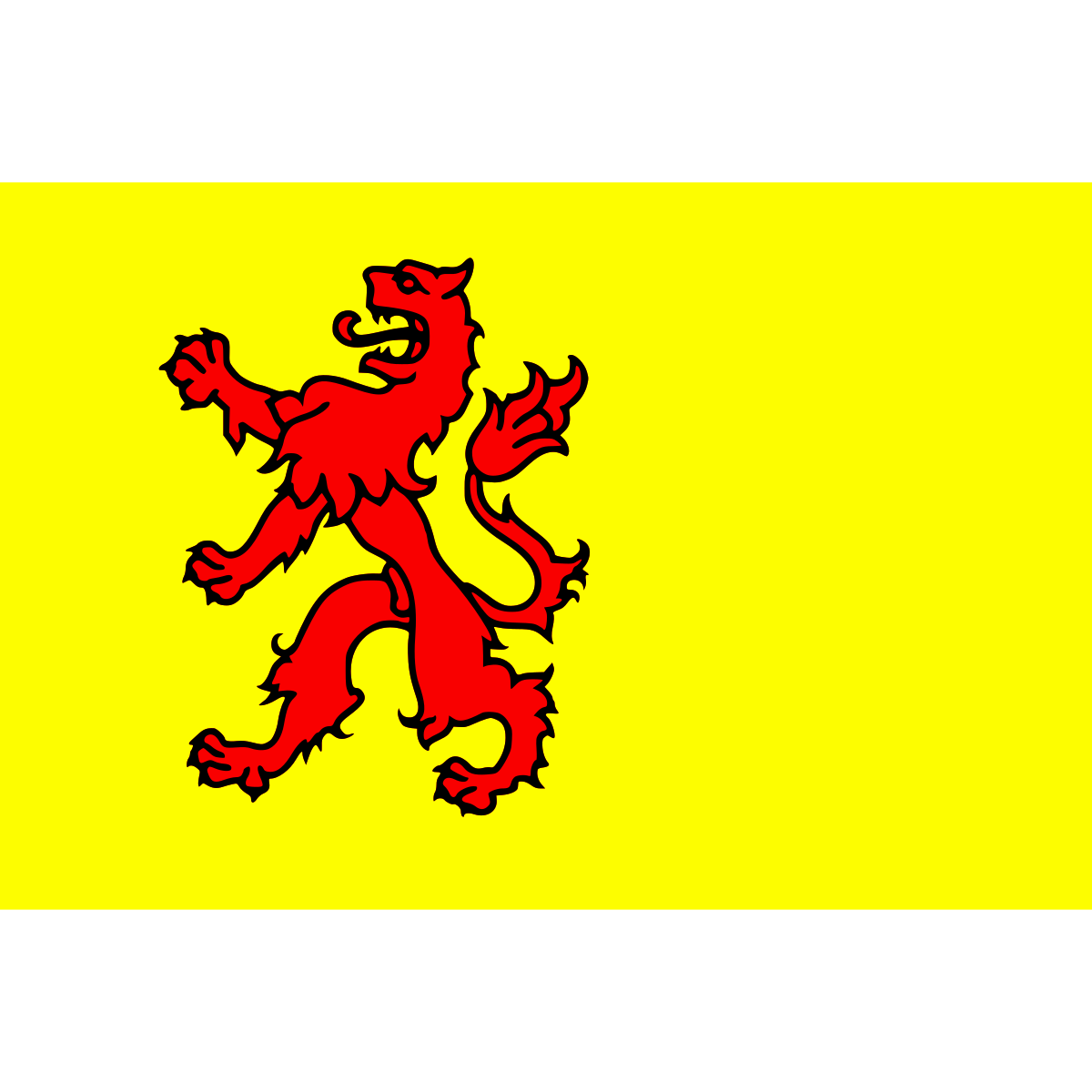
Official symbolsThe official symbols of South Holland include the coat of arms and flag, both of which appear on government documents and are recognised across the Netherlands.
Province Rankings
Compared to all 12 provincesSouth Holland ranks 2th by population (of 12), 6th by area (of 12), 1th by population density (of 12) among the 12 provinces of the Netherlands.
Neighbouring Provinces
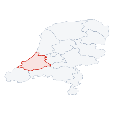
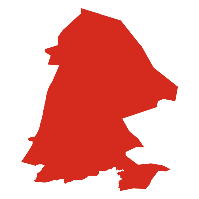
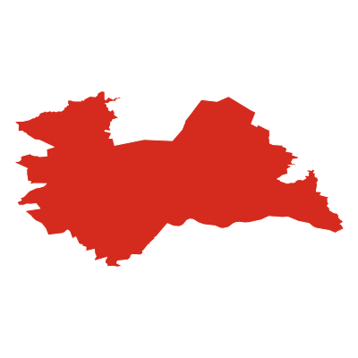
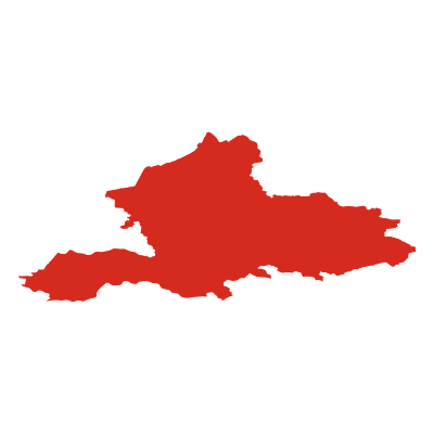
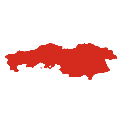
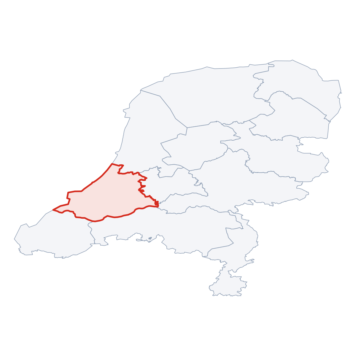
5 bordering provincesSouth Holland borders 5 provinces: Noord-Holland (canton.direction_ne), Utrecht (canton.direction_e), Gelderland (canton.direction_e), Noord-Brabant (canton.direction_se), Zeeland (canton.direction_sw).
Nature Areas
1 parks and nature reservesSouth Holland contains 1 protected nature area: De Biesbosch.

Frequently Asked Questions about South Holland
Quick answers about this provinceWhat is the capital of South Holland?
The provincial capital of South Holland is The Hague with a population of 525 745.
How many people live in South Holland?
South Holland has a population of 3 744 286, spread across 3 308 km².
How large is South Holland?
South Holland covers an area of 3 308 km² (approximately 1 277 square miles).
Is South Holland a province or a city?
South Holland is one of the 12 provinces of the Netherlands, covering a defined administrative region. Its provincial capital is The Hague.
What postcodes are in South Holland?
South Holland has 387 postcode areas. Postcodes in South Holland use the prefix 2, 3, 4.