Overijssel
(Overijssel · أوفرايسل · Overijssel)Province of the Netherlands
Capital: Zwolle
Cities & Towns
448 places totalOverijssel covers 3 421 km². The provincial capital is Zwolle.The province has a population of 1 186 138, with a density of 347 people per km². The largest city by population is Enschede (151 041 residents).
418 more places in Overijssel not shown.
Province Maps
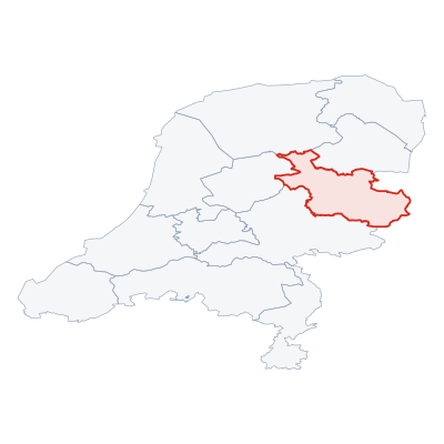
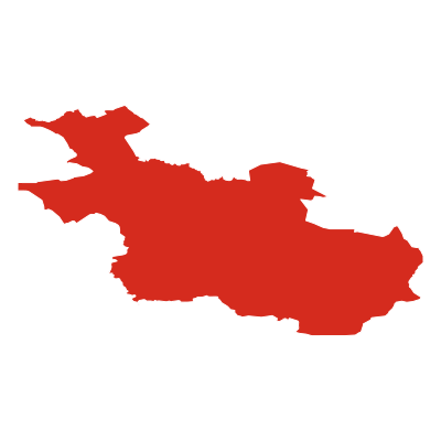
SVG and PNG downloads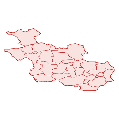
Postcodes
216 postcodesOverijssel has 216 postcode areas covering 8 594 km² with 2 702 buildings. Overijssel uses the prefixes 7 / 8 - postcodes in Overijssel start with 7xxx, 8xxx (these zones). The postcode with the most buildings is 8355BR (Vollenhove) (92 buildings).
| # | Code / Name | Population | Area | Buildings | |
|---|---|---|---|---|---|
| 1 | 8043PL | 109 226 | 103.88 km² | 13 | View → |
| 2 | 7437PX | 87 329 | 129.05 km² | 28 | View → |
| 3 | 7776PB | 33 849 | 300.08 km² | 16 | View → |
| 4 | 8263BJ | 31 478 | 141.29 km² | 30 | View → |
| 5 | 7683SC | 28 525 | 108.14 km² | 31 | View → |
| 6 | 7451JS | 28 271 | 66.27 km² | 26 | View → |
| 7 | 7482TT | 19 427 | 84.56 km² | 15 | View → |
| 8 | 8355BR | 16 394 | 237.06 km² | 92 | View → |
| 9 | 7645AD | 15 477 | 93.18 km² | 28 | View → |
| 10 | 8152EA | 13 723 | 145.98 km² | 41 | View → |
Overijssel has 1815 postal facilities 64 Post Offices, 1620 Post Boxes, 131 Parcel Lockers.
Transport
60 lines across 137 routesClick a route on the map to see details. Zoom in to explore individual stops.
Overijssel has a public transport network of 2275.4 km with 60 transit lines and 137 routes. It is served by 5 operators.
Full transport overviewPopulation & Building Density
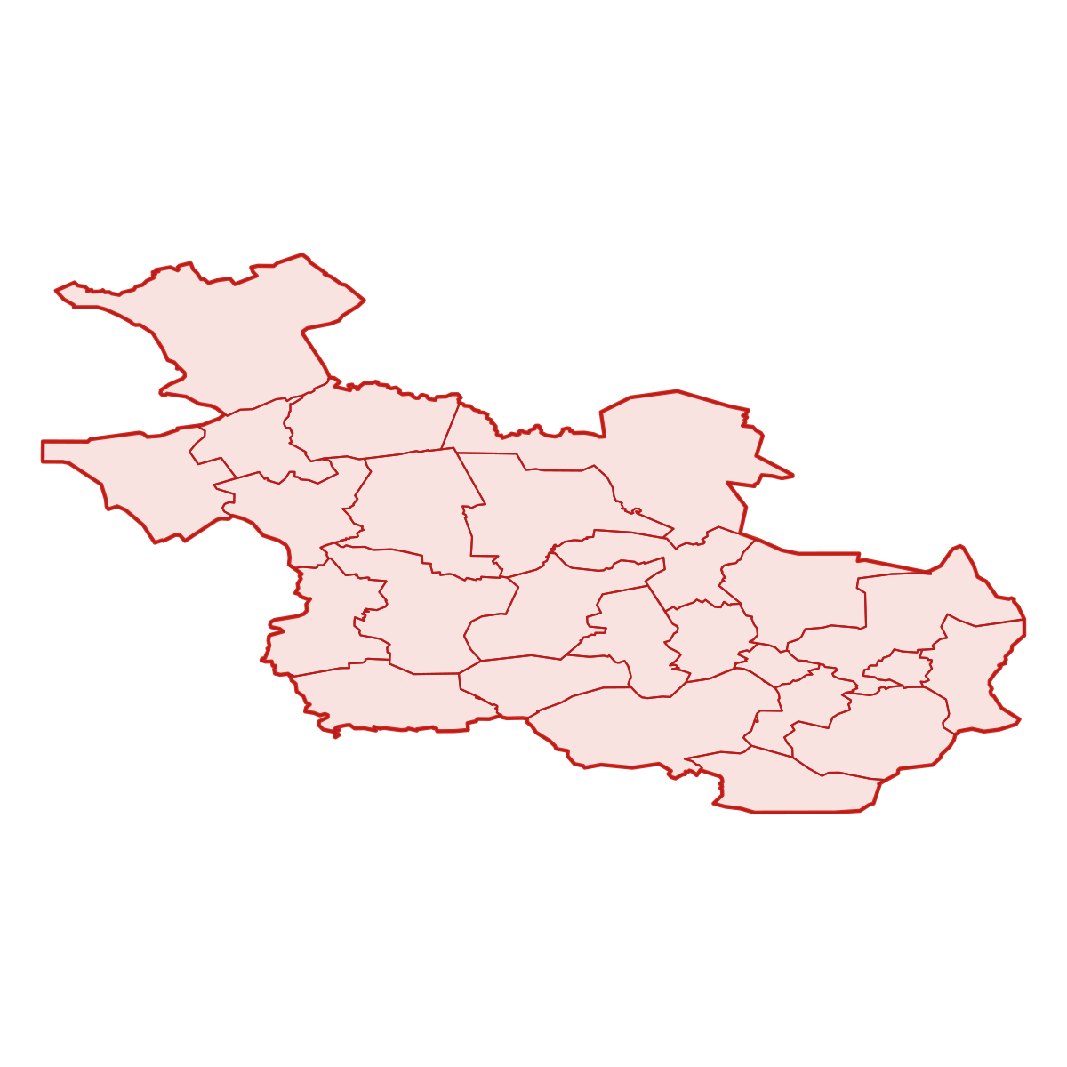
By municipality| # | Municipality | Population | Pop/km² | Buildings | Bld/km² | Area km² |
|---|---|---|---|---|---|---|
| 1 | Oldenzaal | 32 006 | 1457 /km² | 22 708 | 1034 /km² | 21.9536 km² |
| 2 | Hengelo | 80 799 | 1306 /km² | 59 021 | 954 /km² | 61.8349 km² |
| 3 | Enschede | 155 961 | 1092 /km² | 101 786 | 713 /km² | 142.7313 km² |
| 4 | Zwolle | 125 525 | 1051 /km² | 81 044 | 678 /km² | 119.3792 km² |
| 5 | Almelo | 72 521 | 1044 /km² | 46 832 | 674 /km² | 69.4119 km² |
| 6 | Deventer | 131 920 | 981 /km² | 67 615 | 503 /km² | 134.3531 km² |
| 7 | Borne | 22 795 | 871 /km² | 16 557 | 632 /km² | 26.1664 km² |
| 8 | Rijssen-Holten | 38 658 | 409 /km² | 26 003 | 275 /km² | 94.388 km² |
| 9 | Kampen | 52 335 | 323 /km² | 33 759 | 208 /km² | 161.8109 km² |
| 10 | Twenterand | 34 365 | 317 /km² | 24 171 | 223 /km² | 108.1442 km² |
| 11 | Zwartewaterland | 23 250 | 264 /km² | 15 562 | 177 /km² | 87.8677 km² |
| 12 | Hellendoorn | 36 469 | 262 /km² | 26 501 | 190 /km² | 139.008 km² |
| 13 | Wierden | 22 960 | 240 /km² | 20 951 | 219 /km² | 95.3974 km² |
| 14 | Haaksbergen | 24 240 | 229 /km² | 18 351 | 173 /km² | 105.507 km² |
| 15 | Losser | 22 545 | 226 /km² | 18 638 | 187 /km² | 99.6241 km² |
| 16 | Raalte | 36 789 | 213 /km² | 27 213 | 157 /km² | 172.3121 km² |
| 17 | Hardenberg | 66 396 | 209 /km² | 47 096 | 148 /km² | 317.1724 km² |
| 18 | Dalfsen | 28 070 | 168 /km² | 26 109 | 156 /km² | 166.537 km² |
| 19 | Hof van Twente | 33 421 | 155 /km² | 31 240 | 145 /km² | 215.4298 km² |
| 20 | Tubbergen | 22 791 | 154 /km² | 16 118 | 109 /km² | 147.4496 km² |
| 21 | Olst-Wijhe | 17 985 | 151 /km² | 15 775 | 133 /km² | 118.3857 km² |
| 22 | Dinkelland | 25 344 | 143 /km² | 21 756 | 123 /km² | 176.8333 km² |
| 23 | Steenwijkerland | 43 610 | 135 /km² | 37 765 | 117 /km² | 321.6226 km² |
| 24 | Staphorst | 16 688 | 123 /km² | 13 036 | 96 /km² | 135.7078 km² |
| 25 | Ommen | 18 695 | 102 /km² | 16 463 | 90 /km² | 182.0303 km² |
Symbols
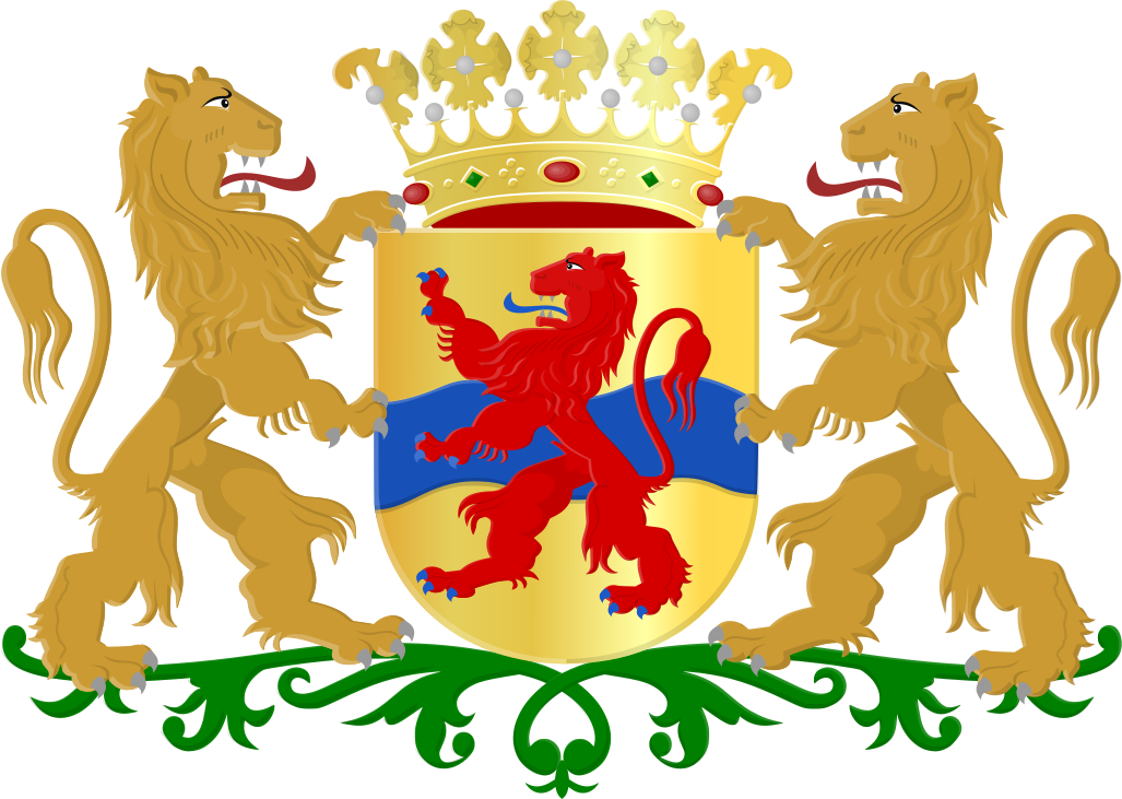
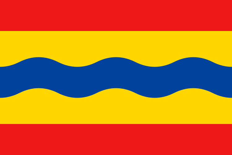
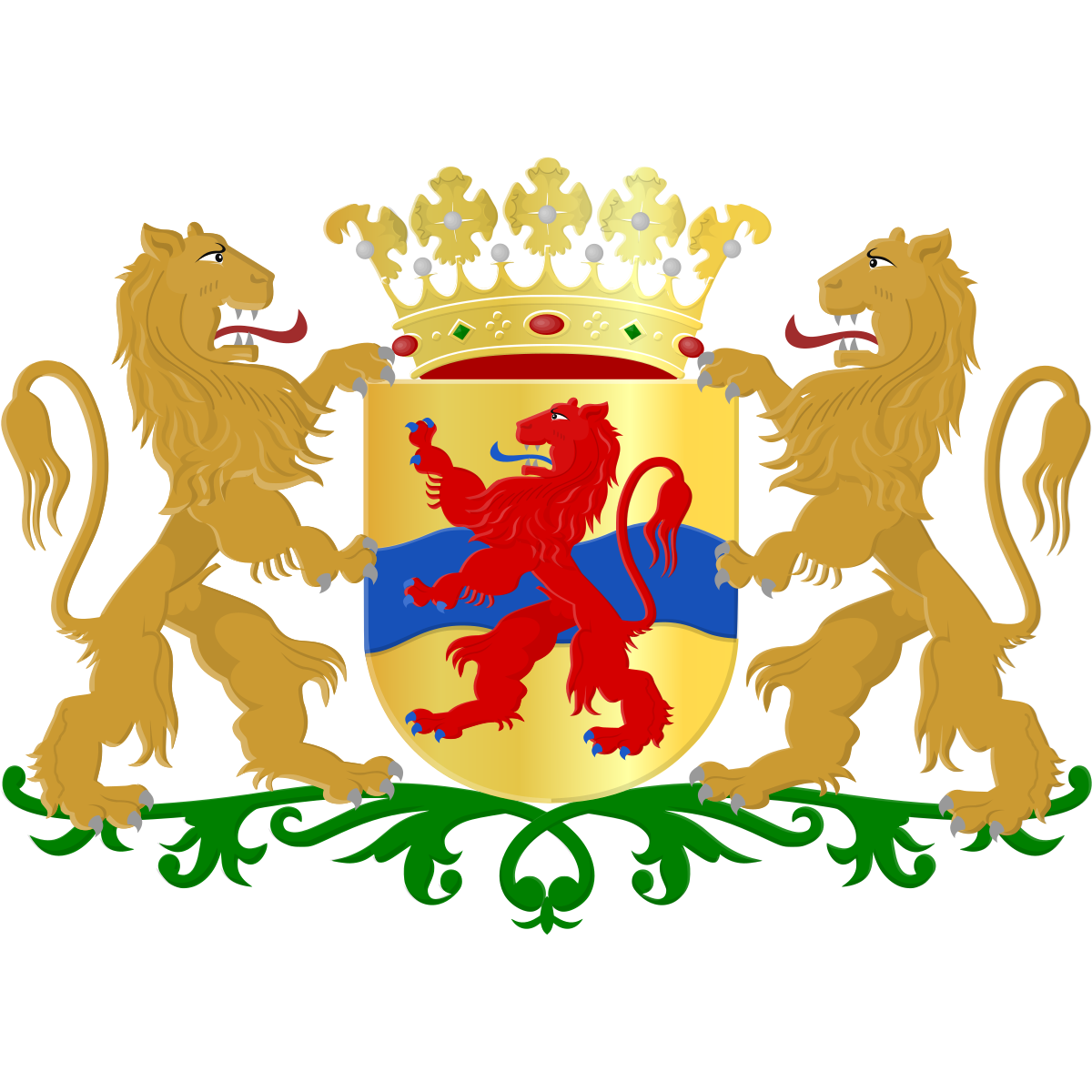
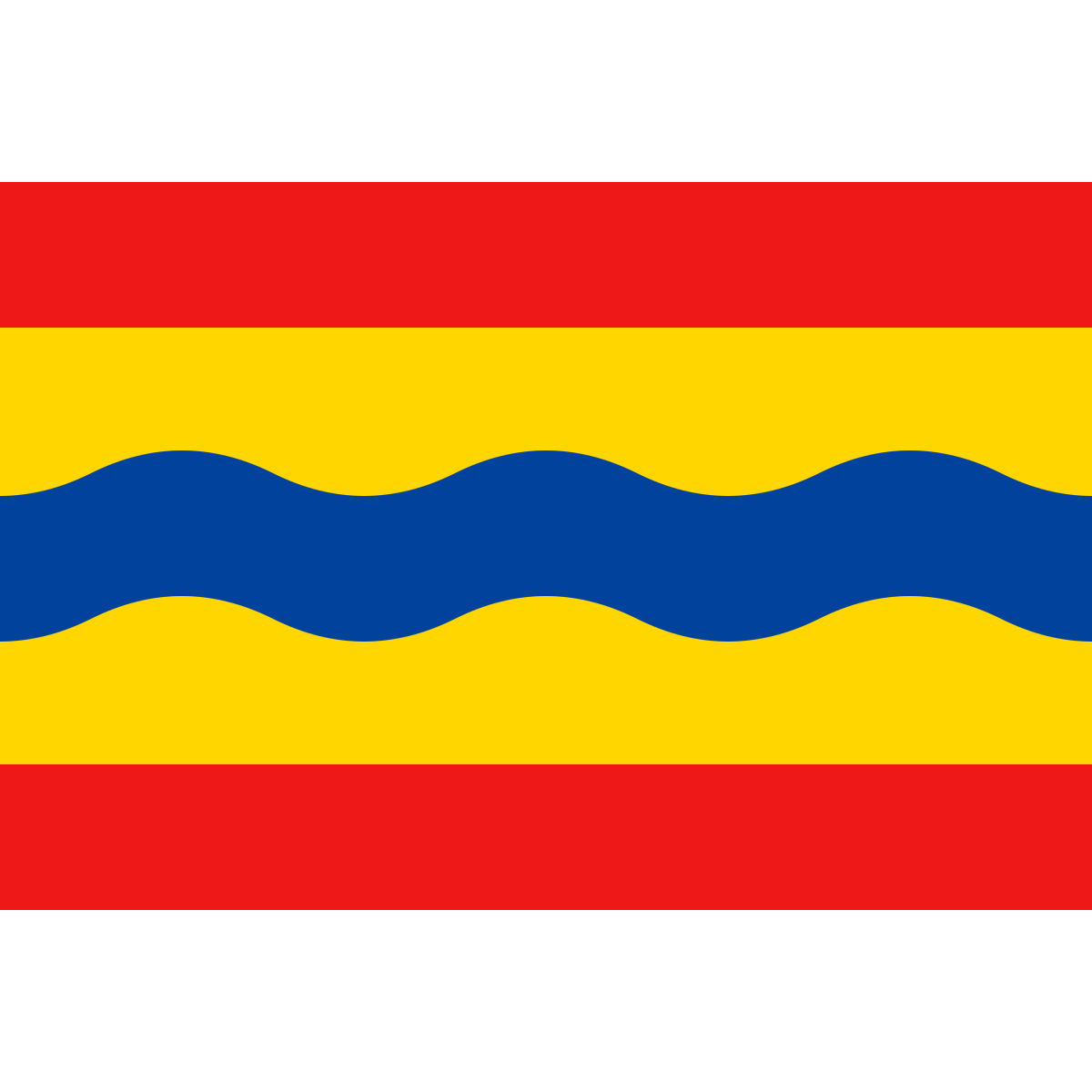
Official symbolsThe official symbols of Overijssel include the coat of arms and flag, both of which appear on government documents and are recognised across the Netherlands.
Province Rankings
Compared to all 12 provincesOverijssel ranks 6th by population (of 12), 5th by area (of 12), 7th by population density (of 12) among the 12 provinces of the Netherlands.
Neighbouring Provinces
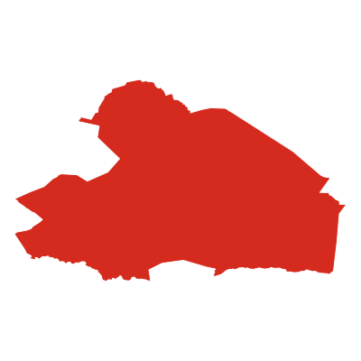
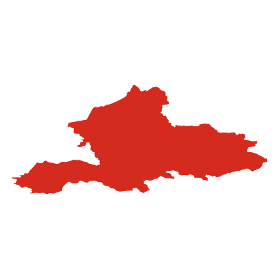
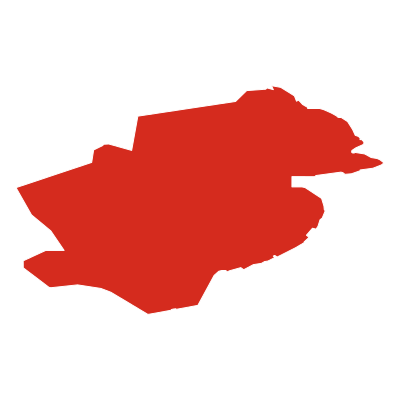
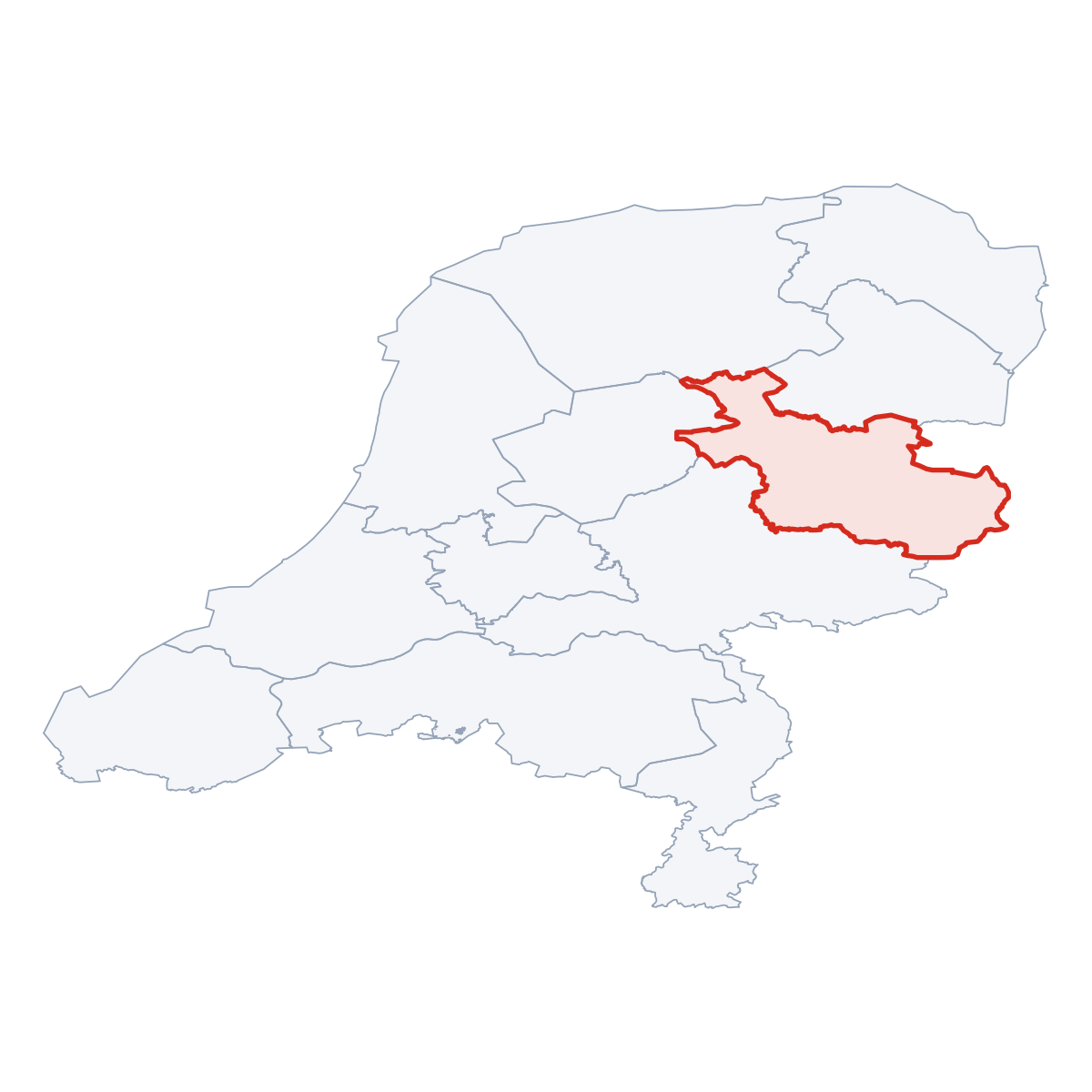
4 bordering provincesOverijssel borders 4 provinces: Drenthe (canton.direction_ne), Gelderland (canton.direction_sw), Flevoland (canton.direction_w), Fryslân (canton.direction_nw).
Nature Areas
2 parks and nature reservesOverijssel contains 2 protected nature areas: Weerribben-Wieden, De Sallandse Heuvelrug.


Frequently Asked Questions about Overijssel
Quick answers about this provinceWhat is the capital of Overijssel?
The provincial capital of Overijssel is Zwolle with a population of 124 505.
How many people live in Overijssel?
Overijssel has a population of 1 186 138, spread across 3 421 km².
How large is Overijssel?
Overijssel covers an area of 3 421 km² (approximately 1 321 square miles).
Is Overijssel a province or a city?
Overijssel is one of the 12 provinces of the Netherlands, covering a defined administrative region. Its provincial capital is Zwolle.
What postcodes are in Overijssel?
Overijssel has 216 postcode areas. Postcodes in Overijssel use the prefix 7, 8.