Flevoland
(Flevoland · فليفولاند · Flevoland)Province of the Netherlands
Capital: Lelystad
Cities & Towns
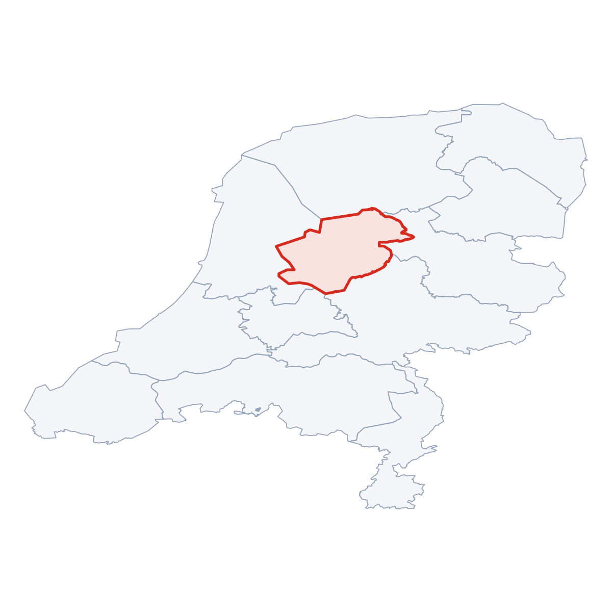
30 places totalFlevoland covers 2 413 km². The provincial capital is Lelystad.The province has a population of 416 145, with a density of 172 people per km². The largest city by population is Almere (207 904 residents).
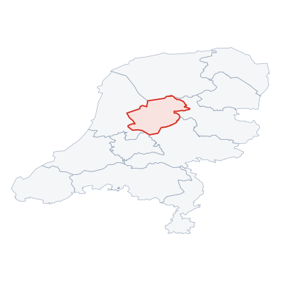
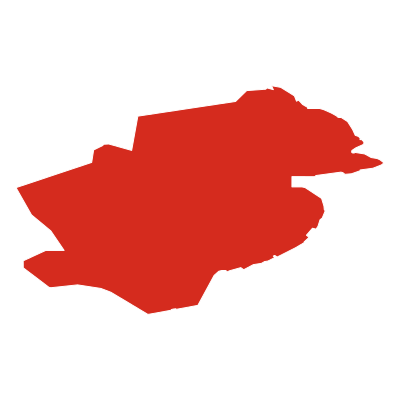
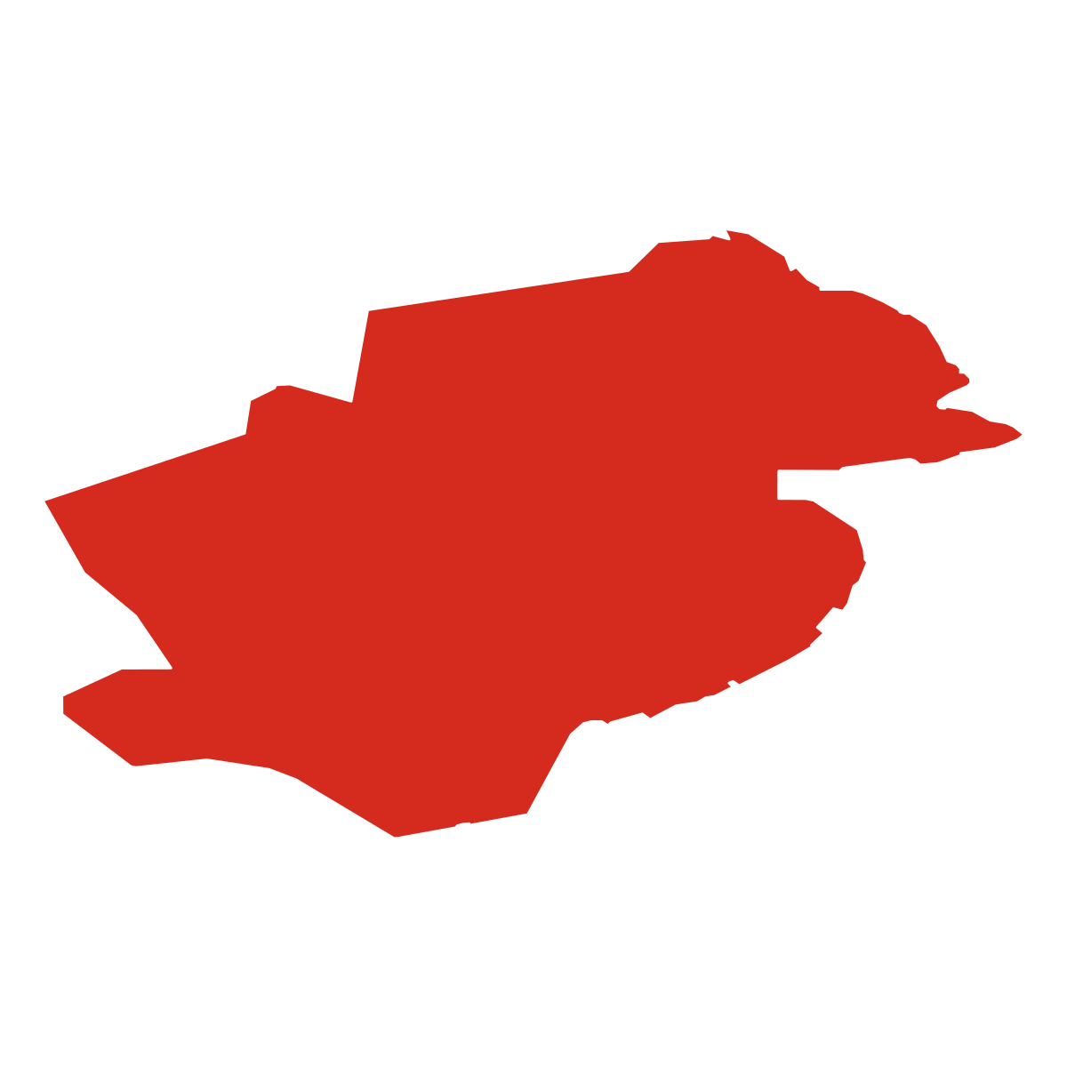
Province Maps
SVG and PNG downloads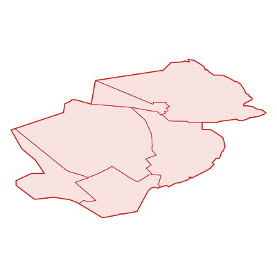
Postcodes
109 postcodesFlevoland has 109 postcode areas covering 7 238 km² with 630 buildings. Flevoland uses the prefixes 3 / 8 / 1 - postcodes in Flevoland start with 3xxx, 8xxx, 1xxx (these zones). The postcode with the most buildings is 3896LB (27 buildings).
| # | Code / Name | Population | Area | Buildings | |
|---|---|---|---|---|---|
| 1 | 1328HB | 194 619 | 231.41 km² | 20 | View → |
| 2 | 8242NM | 76 969 | 765.56 km² | 10 | View → |
| 3 | 8302VM | 24 851 | 573.94 km² | 14 | View → |
| 4 | 8256RJ | 24 581 | 276.52 km² | 12 | View → |
| 5 | 8322GR | 20 220 | 111.88 km² | 7 | View → |
| 6 | 3896LB | 14 387 | 172.27 km² | 27 | View → |
| 7 | 8251SB | 9 303 | 140.43 km² | 8 | View → |
| 8 | 1333HE | 8 777 | 10.44 km² | 12 | View → |
| 9 | 1358AH | 5 852 | 6.96 km² | 18 | View → |
| 10 | 3894LB | 2 495 | 29.88 km² | 7 | View → |
Flevoland has 702 postal facilities 57 Post Offices, 531 Post Boxes, 114 Parcel Lockers.
Transport
53 lines across 112 routesClick a route on the map to see details. Zoom in to explore individual stops.
Flevoland has a public transport network of 1956.0 km with 53 transit lines and 112 routes. It is served by 6 operators.
Full transport overviewPopulation & Building Density
By municipality| # | Municipality | Population | Pop/km² | Buildings | Bld/km² | Area km² |
|---|---|---|---|---|---|---|
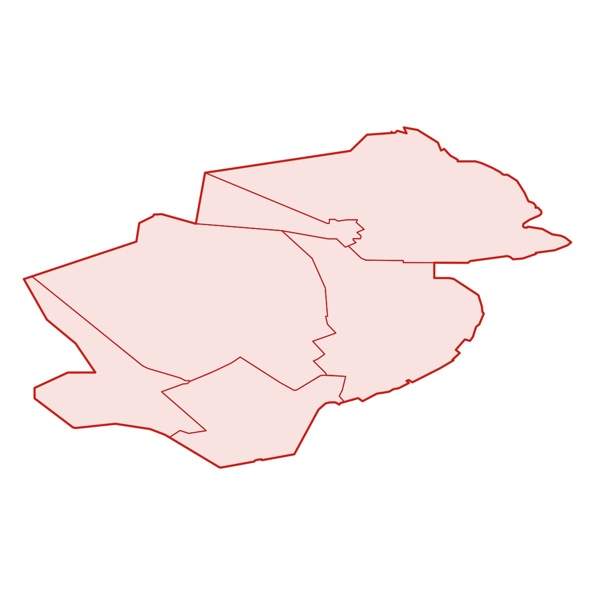
| 1 | Almere | 209 248 | 841 /km² | 134 689 | 541 /km² | 248.8076 km² |
| 2 | Urk | 20 220 | 180 /km² | 12 731 | 113 /km² | 111.8792 km² |
| 3 | Lelystad | 76 969 | 100 /km² | 57 856 | 75 /km² | 765.5709 km² |
| 4 | Dronten | 40 716 | 96 /km² | 32 084 | 75 /km² | 423.9596 km² |
| 5 | Zeewolde | 22 457 | 83 /km² | 21 147 | 78 /km² | 268.9053 km² |
| 6 | Noordoostpolder | 46 535 | 78 /km² | 36 163 | 60 /km² | 593.5442 km² |
Symbols
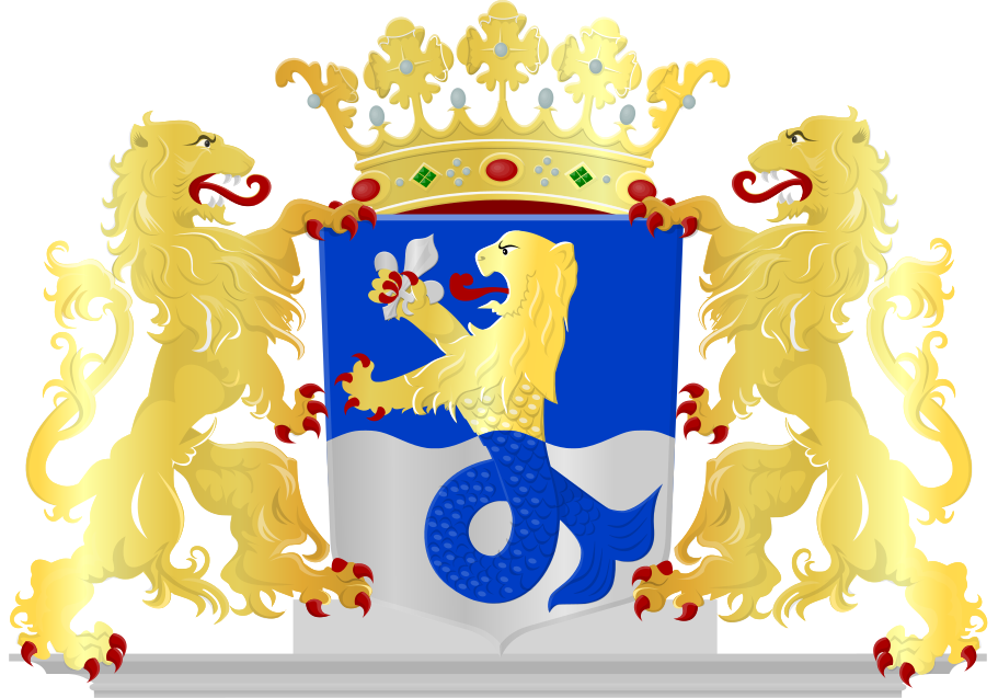
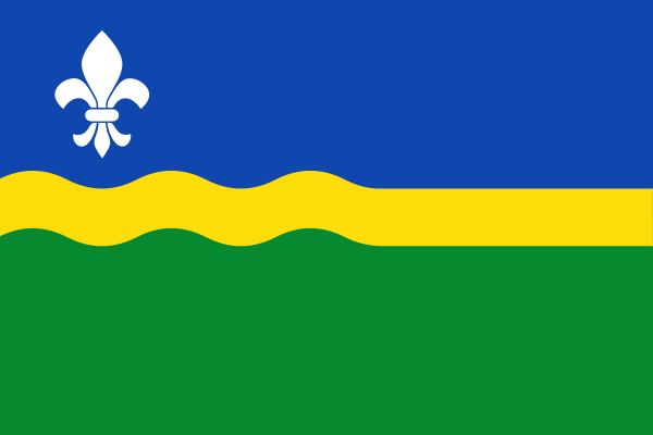
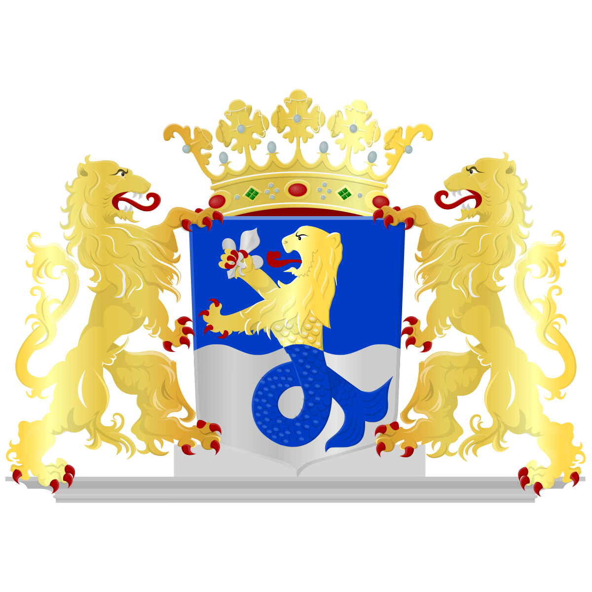
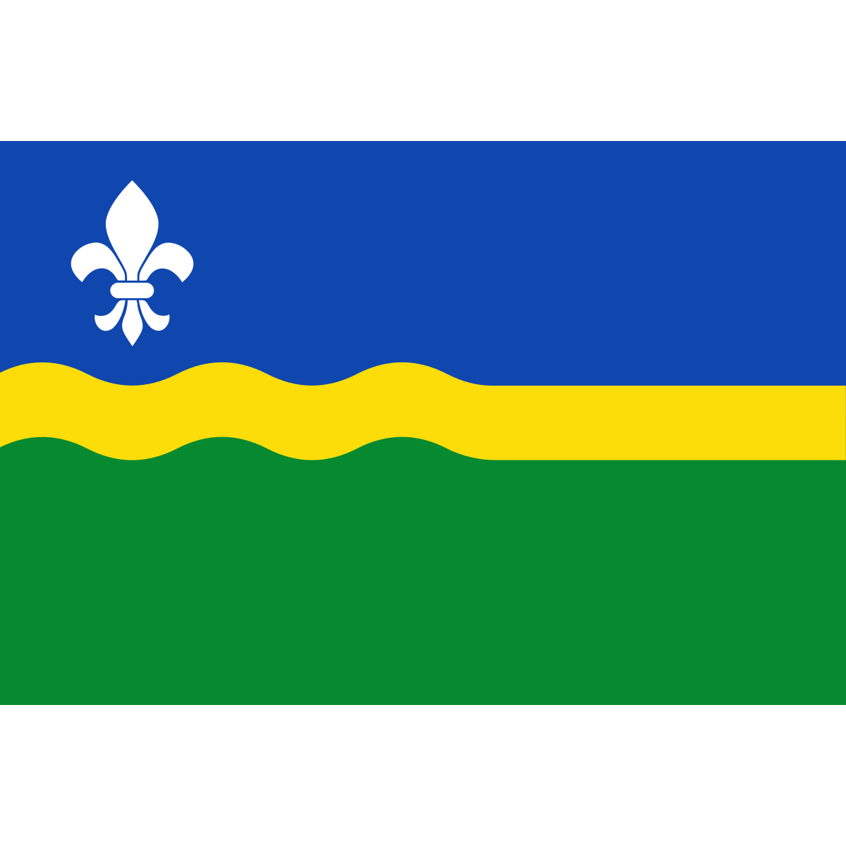
Official symbolsThe official symbols of Flevoland include the coat of arms and flag, both of which appear on government documents and are recognised across the Netherlands.
Province Rankings
Compared to all 12 provincesFlevoland ranks 11th by population (of 12), 10th by area (of 12), 10th by population density (of 12) among the 12 provinces of the Netherlands.
Neighbouring Provinces
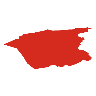
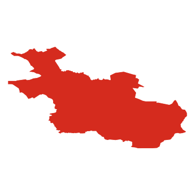
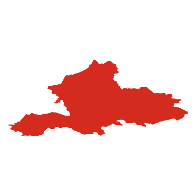
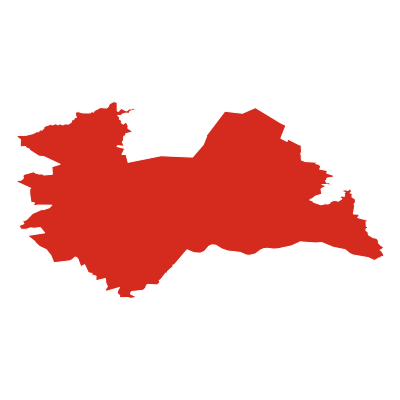
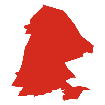
5 bordering provincesFlevoland borders 5 provinces: Fryslân (canton.direction_n), Overijssel (canton.direction_e), Gelderland (canton.direction_se), Utrecht (canton.direction_sw), Noord-Holland (canton.direction_w).
Nature Areas
1 parks and nature reservesFlevoland contains 1 protected nature area: Nieuw Land.

Frequently Asked Questions about Flevoland
Quick answers about this provinceWhat is the capital of Flevoland?
The provincial capital of Flevoland is Lelystad with a population of 76 969.
How many people live in Flevoland?
Flevoland has a population of 416 145, spread across 2 413 km².
How large is Flevoland?
Flevoland covers an area of 2 413 km² (approximately 932 square miles).
Is Flevoland a province or a city?
Flevoland is one of the 12 provinces of the Netherlands, covering a defined administrative region. Its provincial capital is Lelystad.
What postcodes are in Flevoland?
Flevoland has 109 postcode areas. Postcodes in Flevoland use the prefix 3, 8, 1.