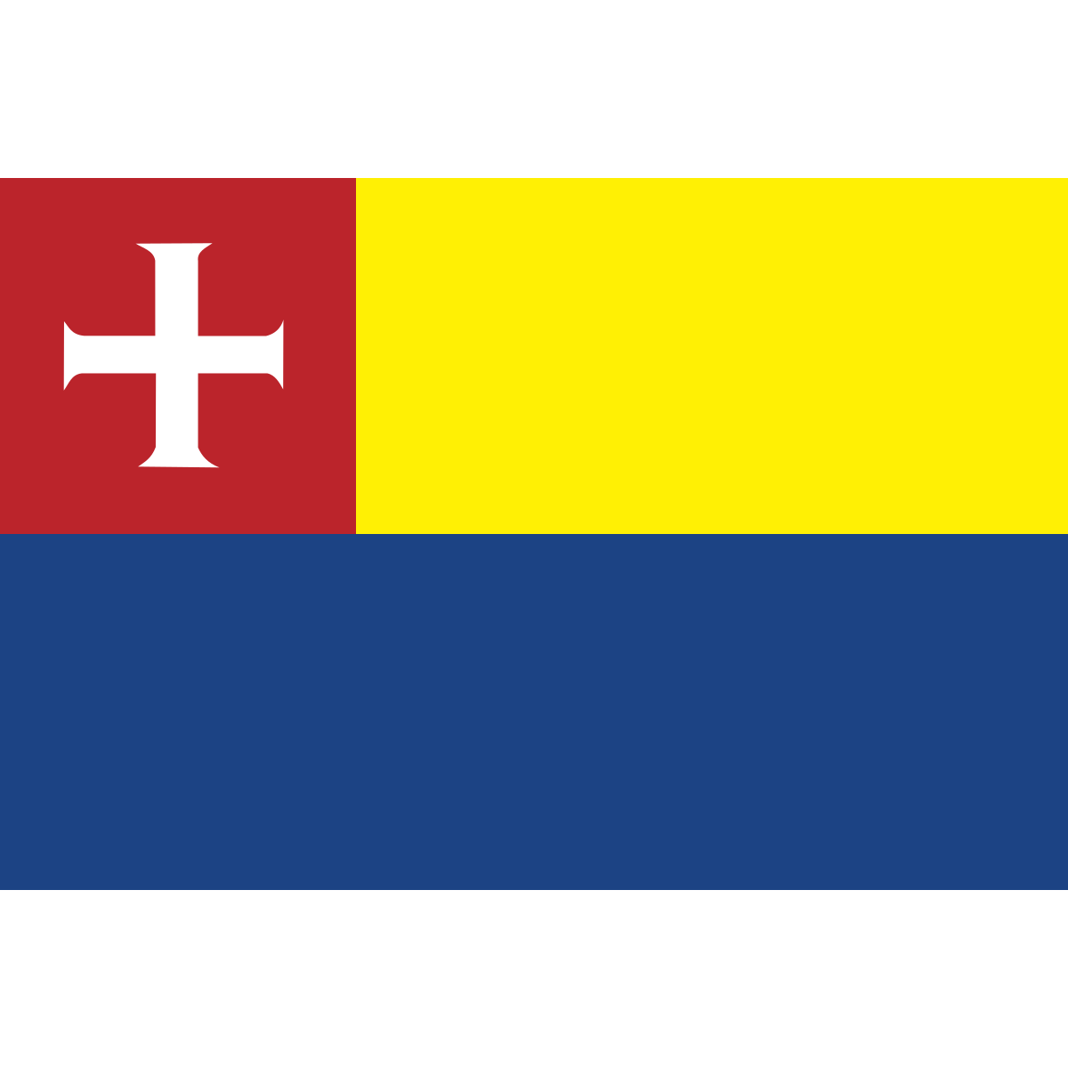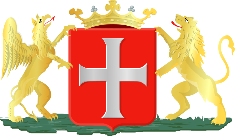
Coat of arms of Heiloo, North Holland

Heiloo

(Heiloo · Heiloo · Хейло)

town · North Holland

Capital of Heiloo (District)

Postcode: 1871AP (Bergen)

23 104
Population
15
Postal points

Overview

11 nearby places · 1 district

City Maps

SVG and PNG downloads
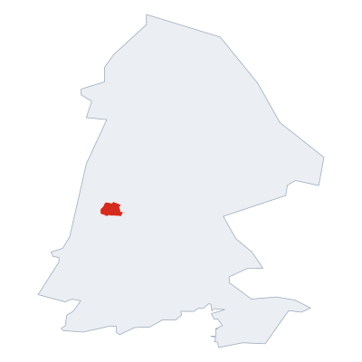
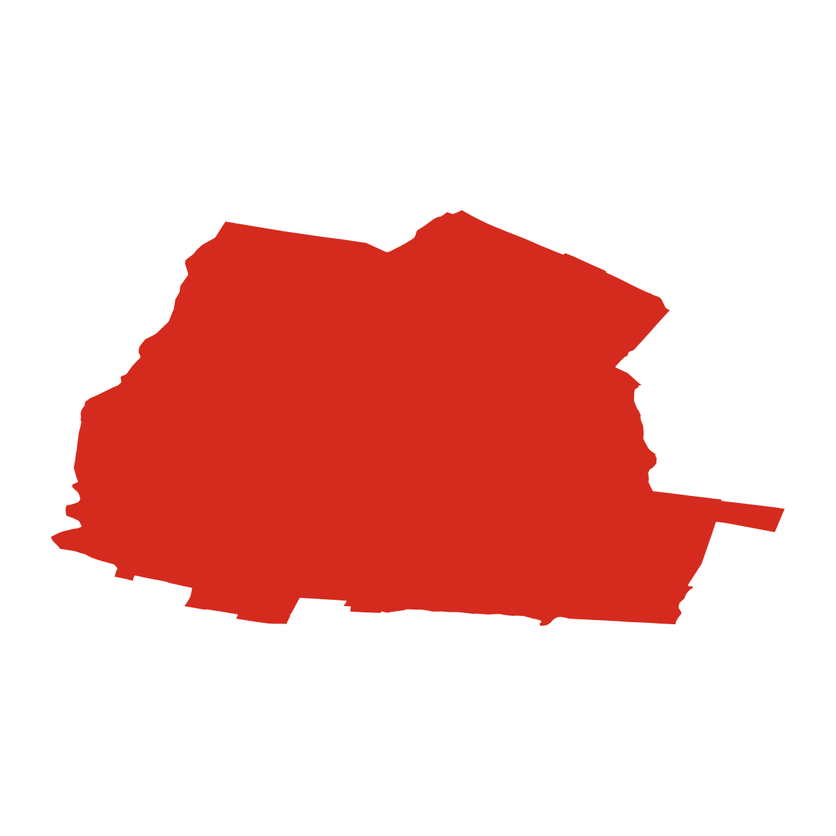
Heiloo - city boundary

Heiloo - city boundary

City outline only

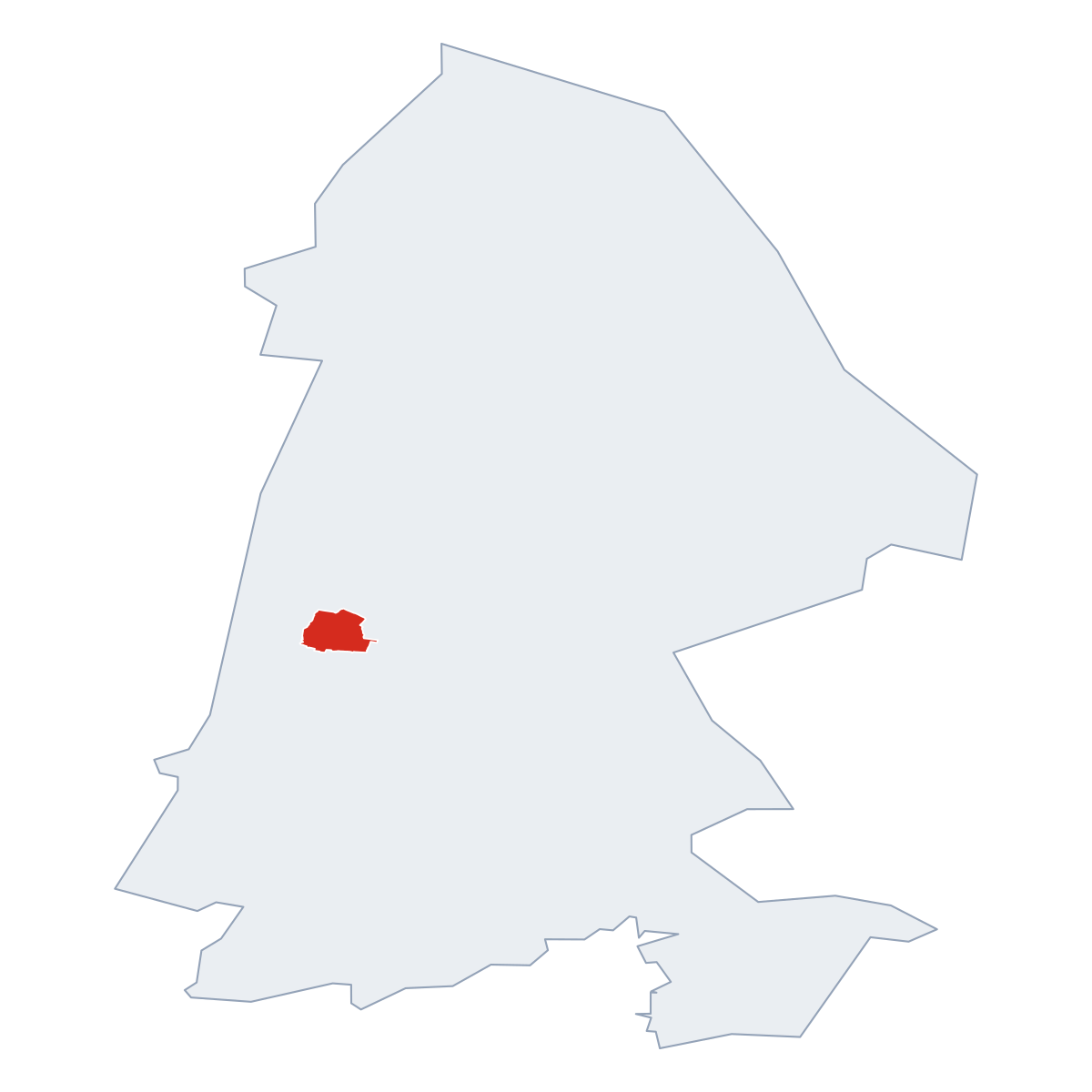
Heiloo - in province

Heiloo - in province

Location within the province

Heiloo - in the Netherlands

Heiloo - in the Netherlands

Location within the Netherlands

Postcodes

4 postcode zones within Heiloo

Municipal seat of Heiloo, covers Heiloo 19 km²: The postcodes are 1871AP, 1852PX, 1823CM, 1921CW. Combined population: 46 208 · 104 buildings.

1871AP
Primary postcode
126
Buildings
4 334
Population
113.6 km²
Area
38/km²
Pop / km²
4
zones
City postcodes
Municipality context
Heiloo

Click a postcode zone on the map for details.

All postcodes in this municipality 4 zones
Code Name Population Buildings Area km²
1823CM CITY Alkmaar 87 211 23 106.1 km² View →
1852PX CITY Heiloo 23 104 52 19.0 km² View →
1871AP CITY Bergen 4 334 126 113.7 km² View →
1921CW CITY Castricum 23 930 14 58.6 km² View →

Postal Services

15 facilities

Heiloo has facilities:, 15 letter boxes.

Kalkovensweg, Oranjepark, Zuid, Alkmaar, North Holland, Netherlands, 1815 JM 2589 m
Ringweg, Heiloo, North Holland, Netherlands, 1852 CM
Heerenweg, Heiloo, North Holland, Netherlands, 1851 HT
Burenweg, Heiloo, North Holland, Netherlands, 1851 CL
Boekelermeerweg, Boekelermeer, Alkmaar, North Holland, Netherlands, 1812 RM 4050 m
Rosendaal, Heiloo, North Holland, Netherlands, 1851 WJ
Heerenweg, Bollendorp, Heiloo, North Holland, Netherlands, 1851 LJ
Zeeweg, Heiloo, North Holland, Netherlands, 1852 CV
Het Malevoort, Heiloo, North Holland, Netherlands, 1852 KX
Slootenslaan, Bollendorp, Heiloo, North Holland, Netherlands, 1852 PX
Maria's Hof, Bollendorp, Heiloo, North Holland, Netherlands, 1851 ZZ
Rippingstraat, Burgemeesterskwartier, Zuid, Alkmaar, North Holland, Netherlands, 1814 HZ 3209 m
Arcadialaan, Overdie, Alkmaar, North Holland, Netherlands, 1813 KD 3673 m
Geert Groteplein, Overdie, Alkmaar, North Holland, Netherlands, 1813 BT 4335 m
Stationsweg, Bollendorp, Heiloo, North Holland, Netherlands, 1851 BE

Public Transport

44 stops within Heiloo

Heiloo has good public transport links within the municipality.

Click a route on the map to see details.

Lines 2
Stops 44
Heiloo, Slimpad 3 routes
Kerkelaan 2 routes
Slimpad 2 routes
Heiloo, Winkelcentrum 't Loo 2 routes
Winkelcentrum 't Loo 2 routes
Heiloo, Kerkelaan 2 routes
Slimpad 1 route
Heiloo, Stationsweg 2 routes
Full transport overview

Symbols

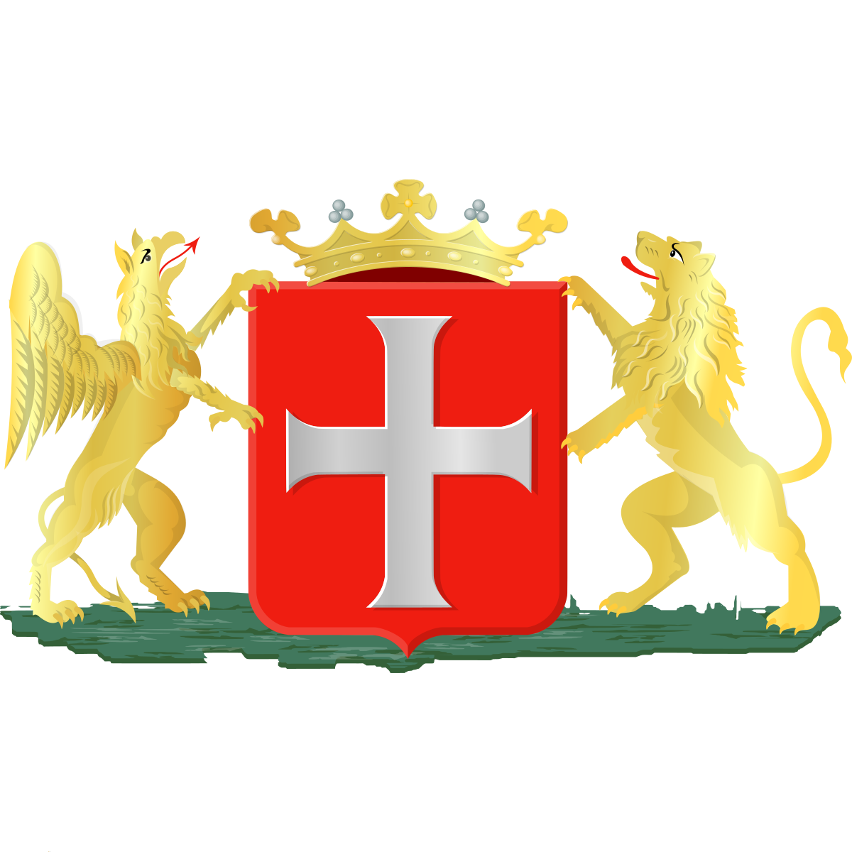
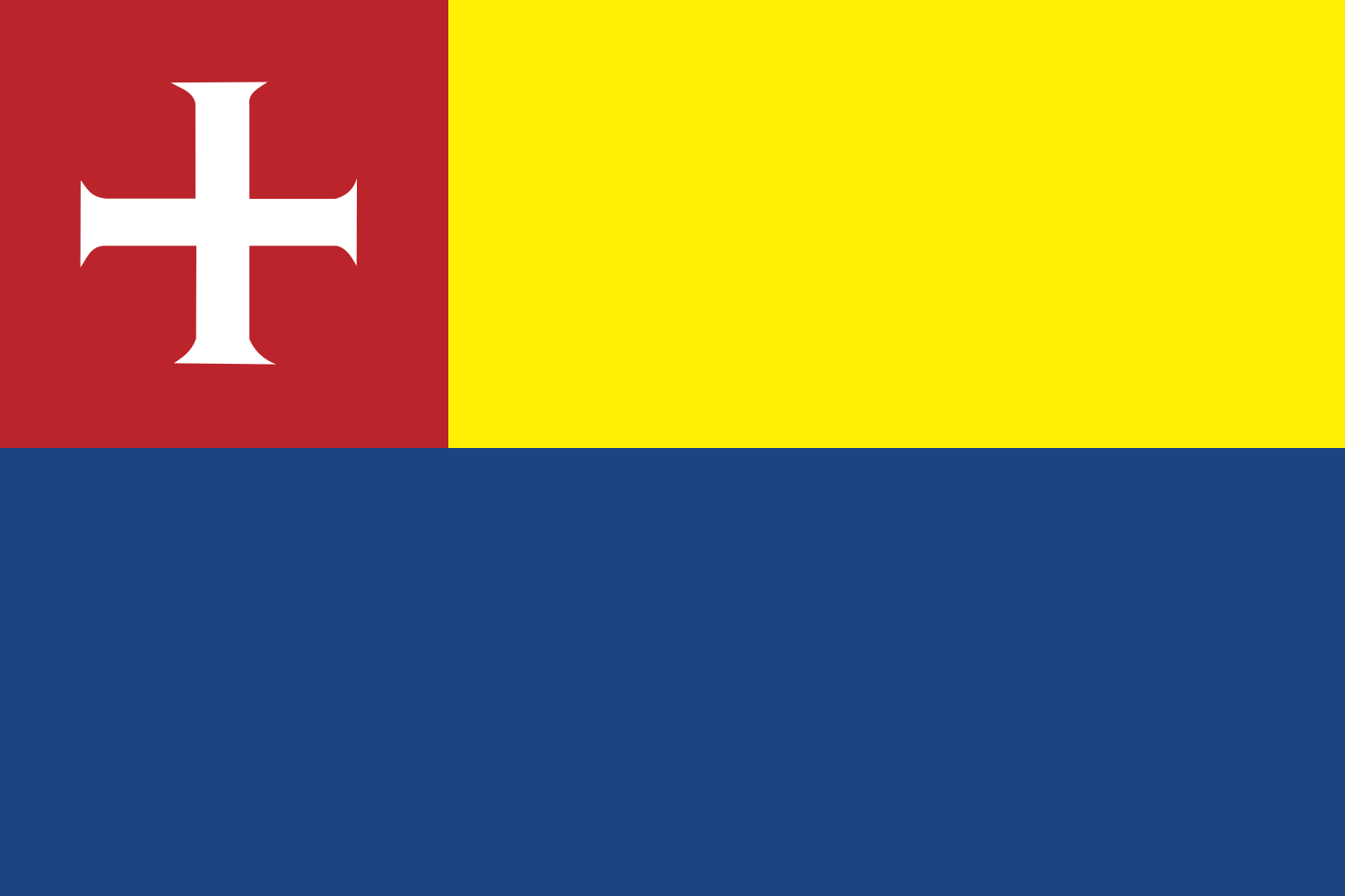
Coat of arms & Flag

The official symbols of Heiloo include the coat of arms and flag.

City Rankings

Among 2436 cities in the Netherlands

Heiloo ranks 146th by population (of 2436), 861th by area (of 2463), 320th by buildings (of 2470) among cities in the Netherlands.

Population
146th of 2436
23 104
Area
861th of 2463
19.0 km²
Buildings
320th of 2470
18 772
Population
22th of 232
23 104
Area
78th of 236
19.0 km²
Buildings
39th of 236
18 772

Frequently Asked Questions about Heiloo

Quick answers about this place
Which province is Heiloo in?

Heiloo is located in province . North Holland.

What is the postcode of Heiloo?

Heiloo has 4 postcodes: 1871AP, 1852PX, 1823CM, 1921CW. Dutch postcodes consist of 4 digits followed by 2 letters.

How many people live in Heiloo?

Heiloo has a population of 23 104 residents.

What is the elevation of Heiloo?

Elevation data for Heiloo is not currently available.

Which municipality is Heiloo in?

Heiloo does not have municipality data available.

Is Heiloo a capital city?

Yes, Heiloo serves as the capital of Heiloo (District) .

Are there post offices in Heiloo?

Heiloo has 15 postal facilities, 15 letter boxes.

What public transport is available in Heiloo?

Heiloo is served by 2 lines with 44 stops.