
Veld-Oostenrijk
(Veld-Oostenrijk)hamlet · Horst aan de Maas · Limburg
Postcode: 5928RG (Venlo)
Overview
7 nearby places · 16 districtsVeld-Oostenrijk is a hamlet in municipality Horst aan de Maas. Click a district on the map to explore it. Postcode: 5928RG.
City Maps
SVG and PNG downloads
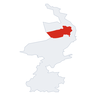

Postcodes
21 postcode zones within Horst aan de MaasMunicipal seat of Horst aan de Maas, covers Veld-Oostenrijk 192 km²: The postcodes are 5928RG, 5944EX, 5987AP, 5986AP, 5756AM, 5971NV, 5975SC, 5961XX, 5801SZ, 5864BA, 5801VR, 5802BM, 5861BJ, 5861CT, 5808AT, 5964NL, 5966PL, 5975RA, 5871AP, 5966PJ, 5856CH. Combined population: 57 748 · 34 buildings.
Click a postcode zone on the map for details.
| Code | Name | Population | Buildings | Area km² | |
|---|---|---|---|---|---|
| 5756AM CITY | Deurne | 1 384 | 6 | 118.3 km² | View → |
| 5801SZ CITY | - | 741 | 2 | 4.3 km² | View → |
| 5801VR CITY | Ysselsteyn | 7 527 | 1 | 43.7 km² | View → |
| 5802BM CITY | Venray | 1 905 | 1 | 11.1 km² | View → |
| 5808AT CITY | Oostrum | 5 165 | 1 | 22.9 km² | View → |
| 5856CH CITY | Bergen | 1 194 | 1 | 108.5 km² | View → |
| 5861BJ CITY | Wanssum | 3 404 | 1 | 12.8 km² | View → |
| 5861CT CITY | Geijsteren | 1 964 | 1 | 7.4 km² | View → |
| 5864BA CITY | Meerlo | 3 103 | 2 | 18.0 km² | View → |
| 5871AP CITY | Lottum | 2 578 | 1 | 22.8 km² | View → |
| 5928RG CITY | Venlo | 86 165 | 174 | 120.8 km² | View → |
| 5944EX CITY | - | 5 181 | 100 | 5.3 km² | View → |
| 5961XX CITY | Horst | 1 306 | 3 | 19.4 km² | View → |
| 5964NL CITY | Hegelsom | 2 866 | 1 | 18.6 km² | View → |
| 5966PJ CITY | Evertsoord | 2 461 | 1 | 36.6 km² | View → |
| 5966PL CITY | Griendtsveen | 1 264 | 1 | 18.8 km² | View → |
| 5971NV CITY | Grubbenvorst | 6 323 | 4 | 22.6 km² | View → |
| 5975RA CITY | - | 3 074 | 1 | 12.0 km² | View → |
| 5975SC CITY | Sevenum | 5 899 | 3 | 23.0 km² | View → |
| 5986AP CITY | Beringe | 3 711 | 21 | 34.8 km² | View → |
| 5987AP CITY | Panningen | 6 879 | 51 | 126.6 km² | View → |
Postal Services
16 facilitiesVeld-Oostenrijk has facilities: 1 post office, 12 letter boxes, 3 parcel lockers.
Public Transport
107 stops within Horst aan de MaasVeld-Oostenrijk has good public transport links within the municipality.
Click a route on the map to see details.
Symbols
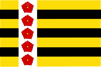
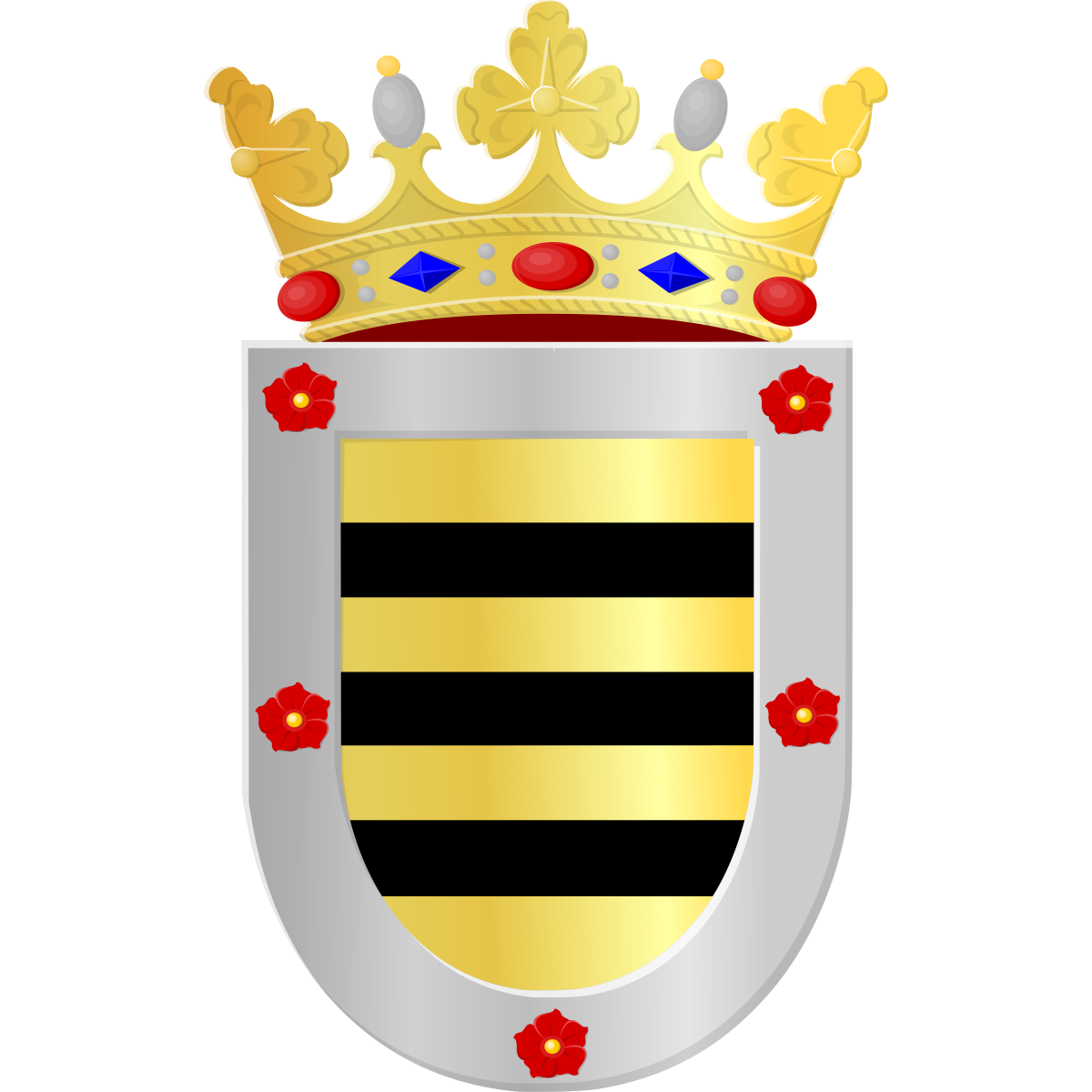
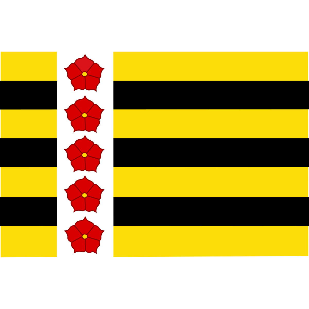
Coat of arms & FlagThe official symbols of Veld-Oostenrijk include the coat of arms and flag.
Nature Areas
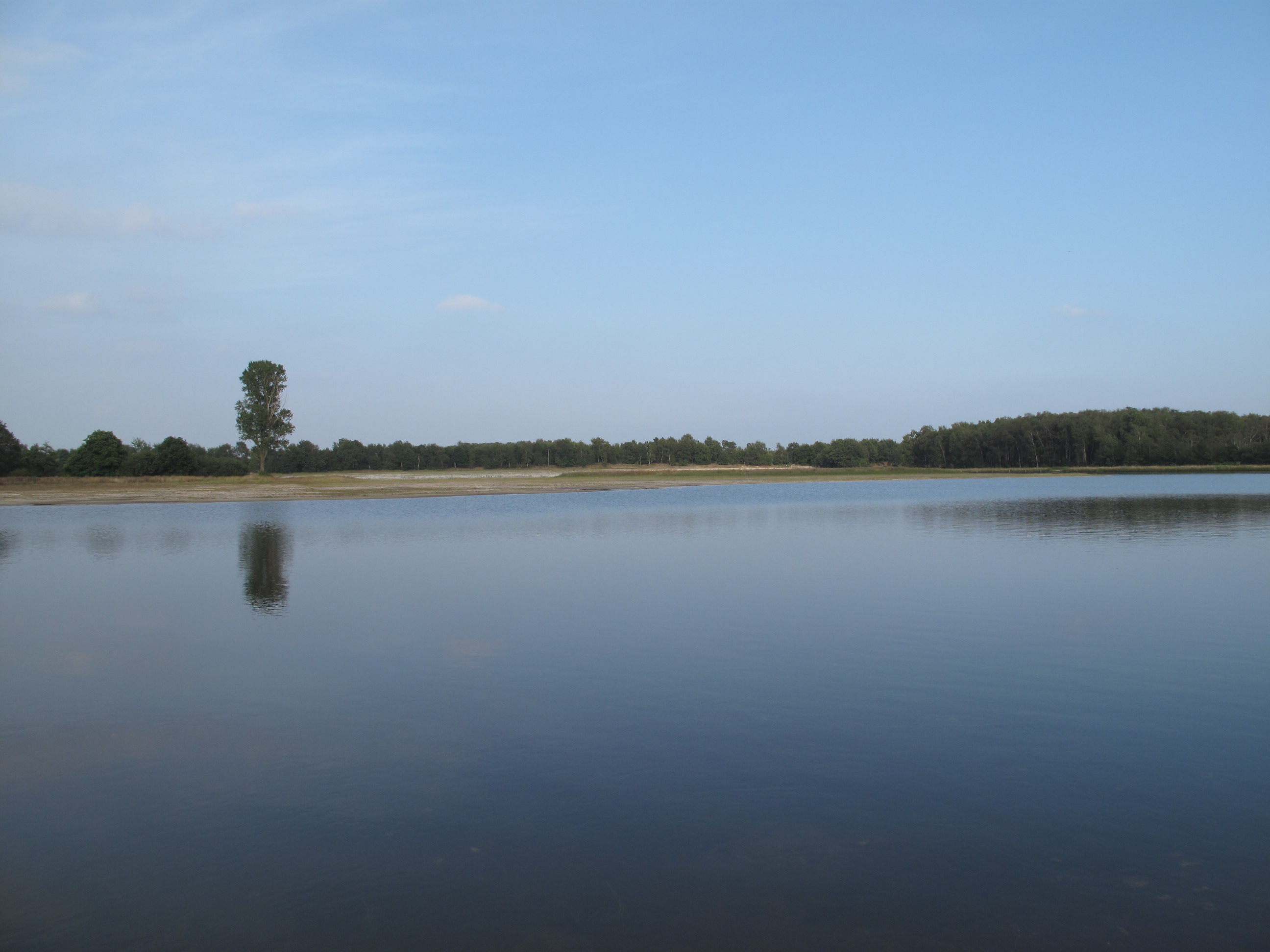
1 nature areaThere are nature areas near Veld-Oostenrijk:: De Maasduinen (6.7 km city.parks_dir_N, 0 km²).


City Rankings
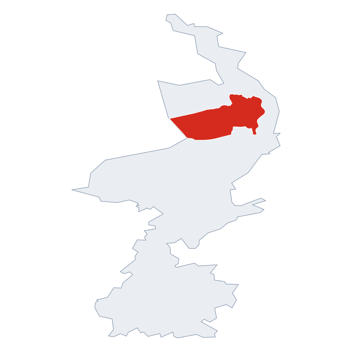
Among 2436 cities in the NetherlandsVeld-Oostenrijk ranks among cities in the Netherlands.
Frequently Asked Questions about Veld-Oostenrijk
Quick answers about this placeWhich province is Veld-Oostenrijk in?
Veld-Oostenrijk is located in province . Limburg.
What is the postcode of Veld-Oostenrijk?
Veld-Oostenrijk has 21 postcodes: 5928RG, 5944EX, 5987AP, 5986AP, 5756AM, 5971NV, 5975SC, 5961XX, 5801SZ, 5864BA, 5801VR, 5802BM, 5861BJ, 5861CT, 5808AT, 5964NL, 5966PL, 5975RA, 5871AP, 5966PJ, 5856CH. Dutch postcodes consist of 4 digits followed by 2 letters.
How many people live in Veld-Oostenrijk?
The postcode area covering Veld-Oostenrijk has a population of approximately 86 165.
What is the elevation of Veld-Oostenrijk?
Elevation data for Veld-Oostenrijk is not currently available.
Which municipality is Veld-Oostenrijk in?
Veld-Oostenrijk does not have municipality data available.
Are there post offices in Veld-Oostenrijk?
Veld-Oostenrijk has 16 postal facilities, including 1 post office, 12 letter boxes, and 3 parcel lockers. The nearest post office is Plus Kiosk.
Is there public transport near Veld-Oostenrijk?
There are 107 stops transit stops near Veld-Oostenrijk. The closest stops are Sevenum, Centrum, Berghemweg, Horst, Station Zuidzijde.