Netherlands
All provinces
The Netherlands is divided into 12 provinces. Each province has its own capital, administrative boundary, and regional character. Explore them all below.
12
Provinces
41 546
Total area km²
–
Population
11 540 485
Buildings
6 389
Postcodes
Interactive map
Click a province to see detailsAll provinces
12 provinces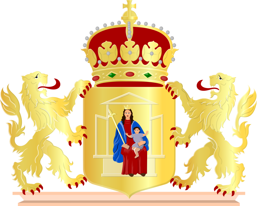
Drenthe
Capital: Assen
2 680
Area km²
–
Municipalities
409 118
Buildings
205
Postcodes
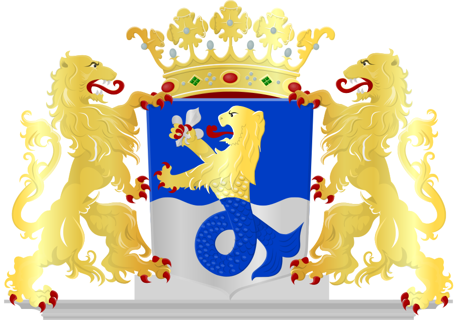
Flevoland
Capital: Lelystad
2 413
Area km²
–
Municipalities
294 670
Buildings
109
Postcodes
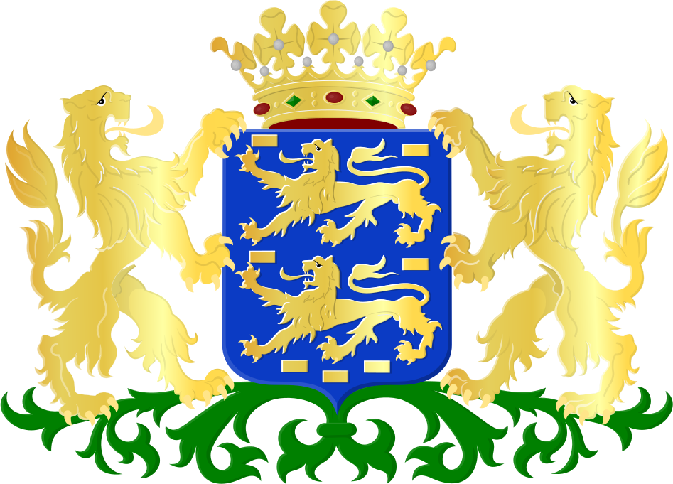
Fryslân
Capital: Leeuwarden
5 753
Area km²
–
Municipalities
545 382
Buildings
321
Postcodes
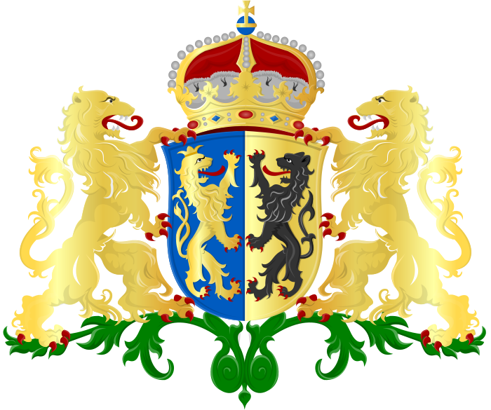
Gelderland
Capital: Arnhem
5 137
Area km²
–
Municipalities
1 576 537
Buildings
863
Postcodes
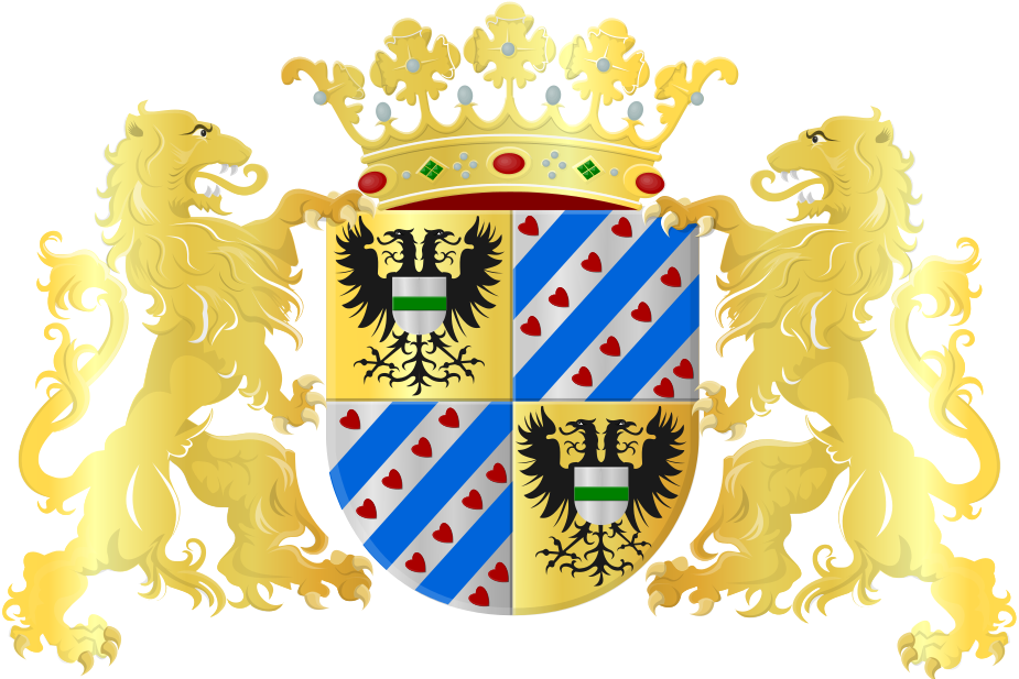
Groningen
Capital: Groningen
2 955
Area km²
–
Municipalities
430 290
Buildings
276
Postcodes
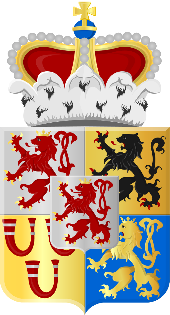
Limburg
Capital: Maastricht
2 210
Area km²
–
Municipalities
833 835
Buildings
355
Postcodes
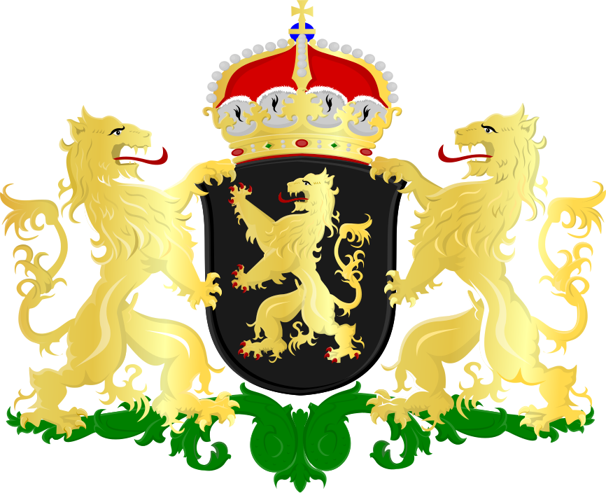
Noord-Brabant
Capital: 's-Hertogenbosch
5 083
Area km²
–
Municipalities
1 940 686
Buildings
413
Postcodes
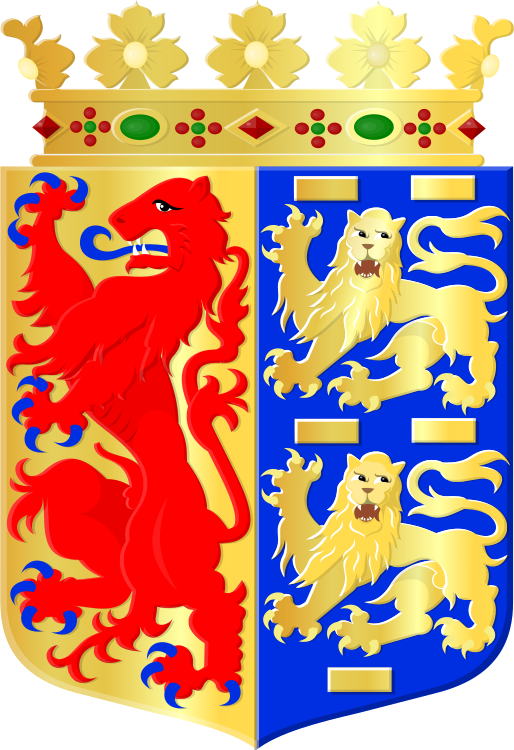
Noord-Holland
Capital: Haarlem
4 092
Area km²
–
Municipalities
1 548 383
Buildings
1794
Postcodes
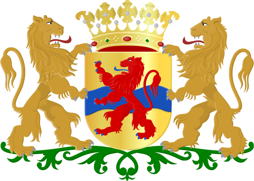
Overijssel
Capital: Zwolle
3 421
Area km²
–
Municipalities
832 070
Buildings
393
Postcodes
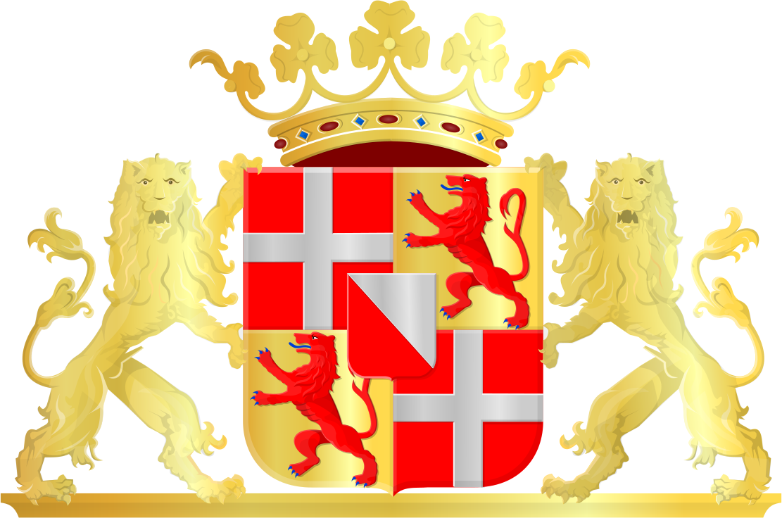
Utrecht
Capital: Utrecht
1 560
Area km²
–
Municipalities
820 570
Buildings
536
Postcodes
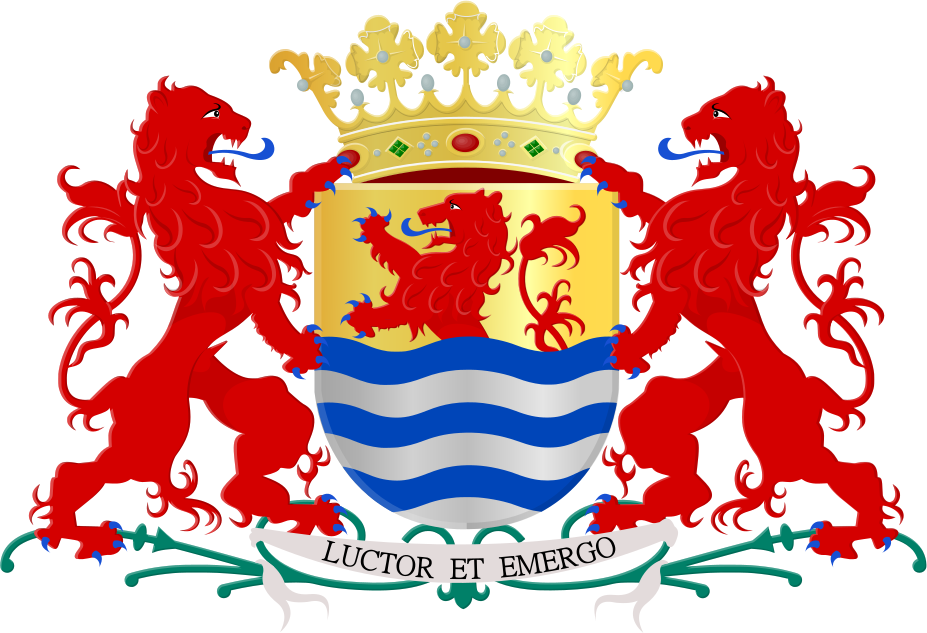
Zeeland
Capital: Middelburg
2 933
Area km²
–
Municipalities
379 072
Buildings
104
Postcodes
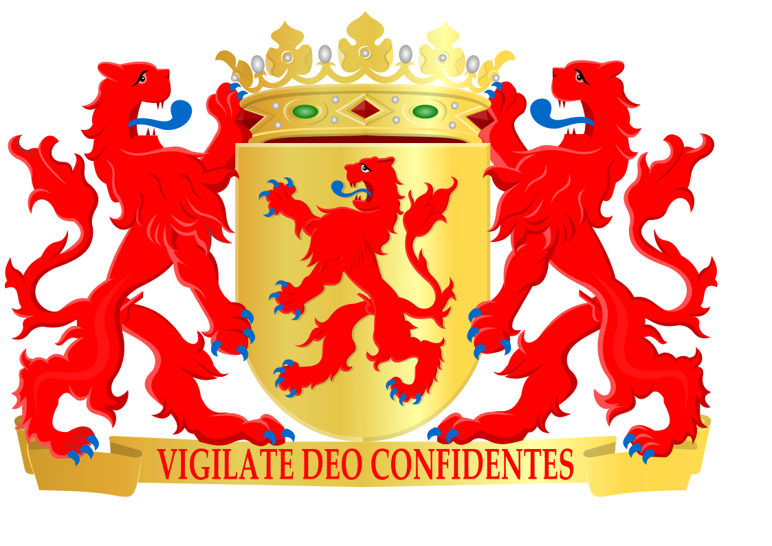
Zuid-Holland
Capital: Den Haag
3 308
Area km²
–
Municipalities
1 929 872
Buildings
1020
Postcodes
Province rankings
All 12 provinces compared
By area
By municipalities
By buildings
Side-by-side comparison
All provinces on the same scaleArea (km²)
Buildings