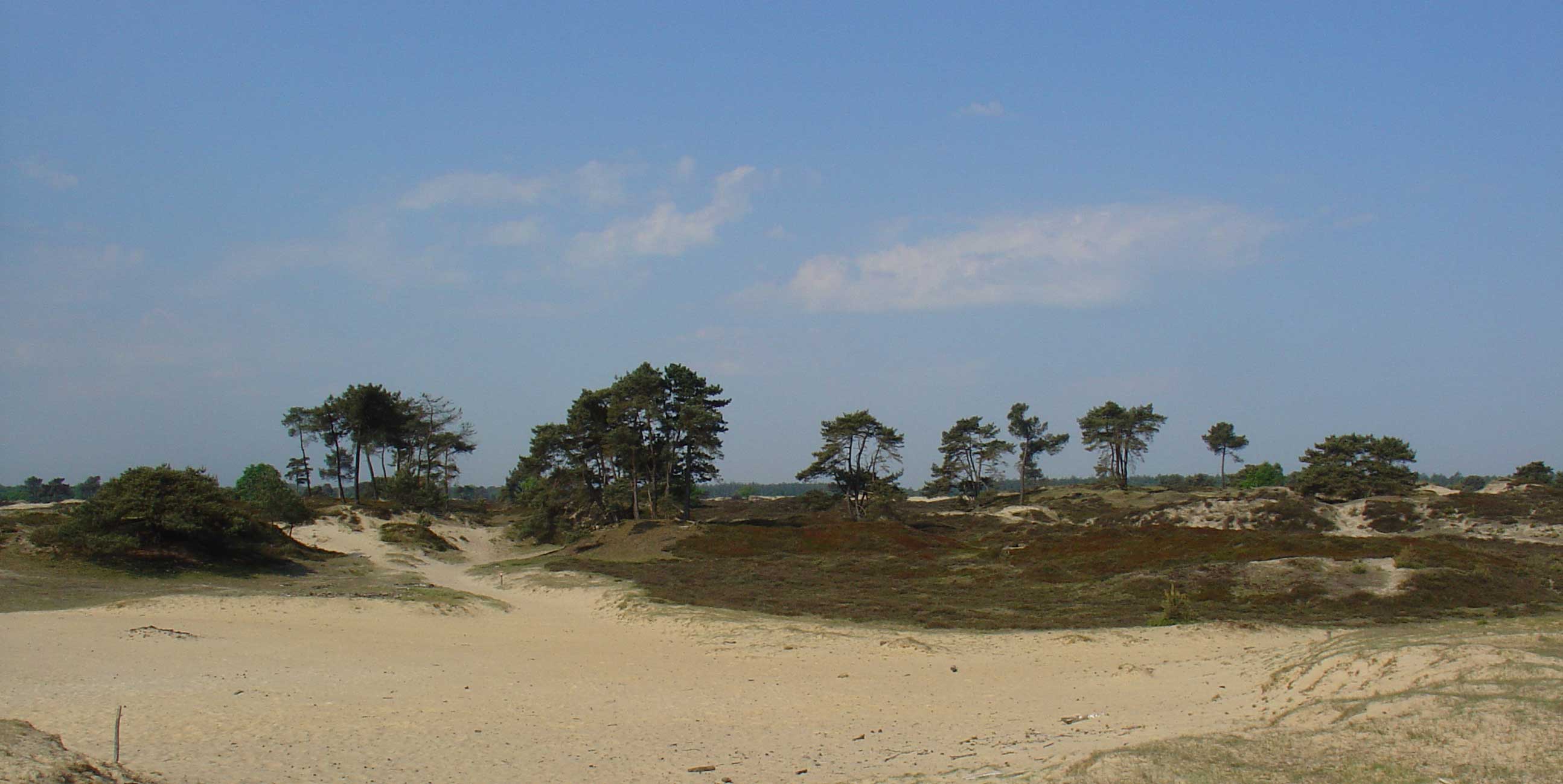
About Drents-Friese Wold
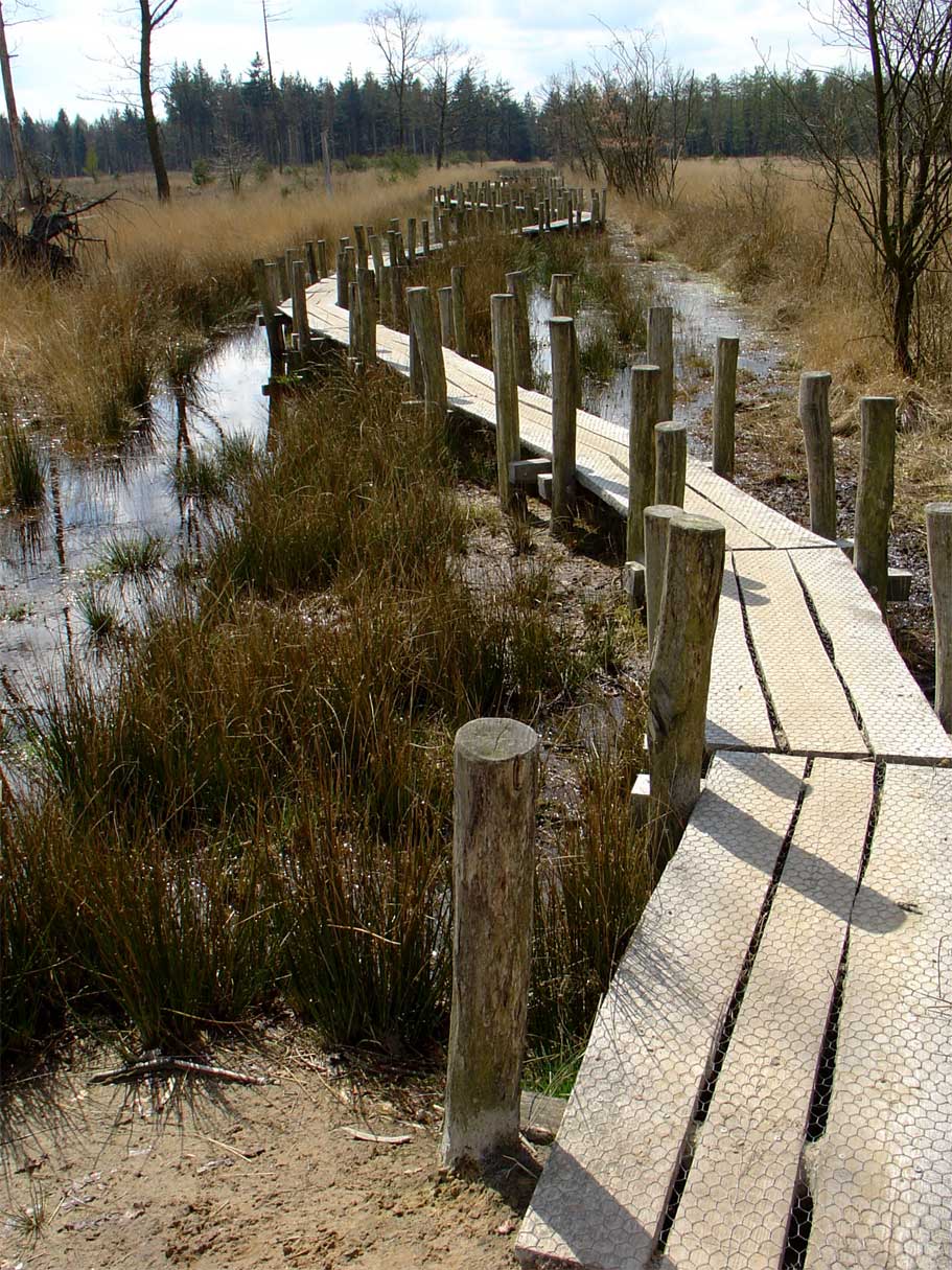
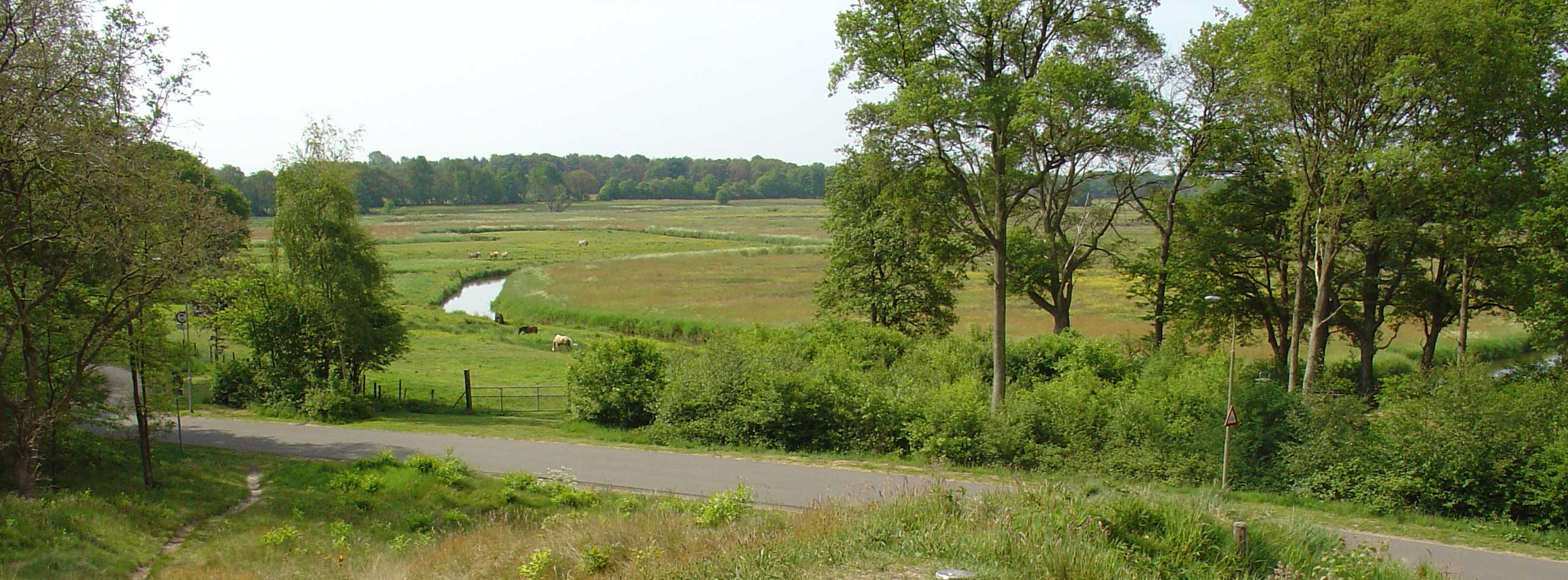
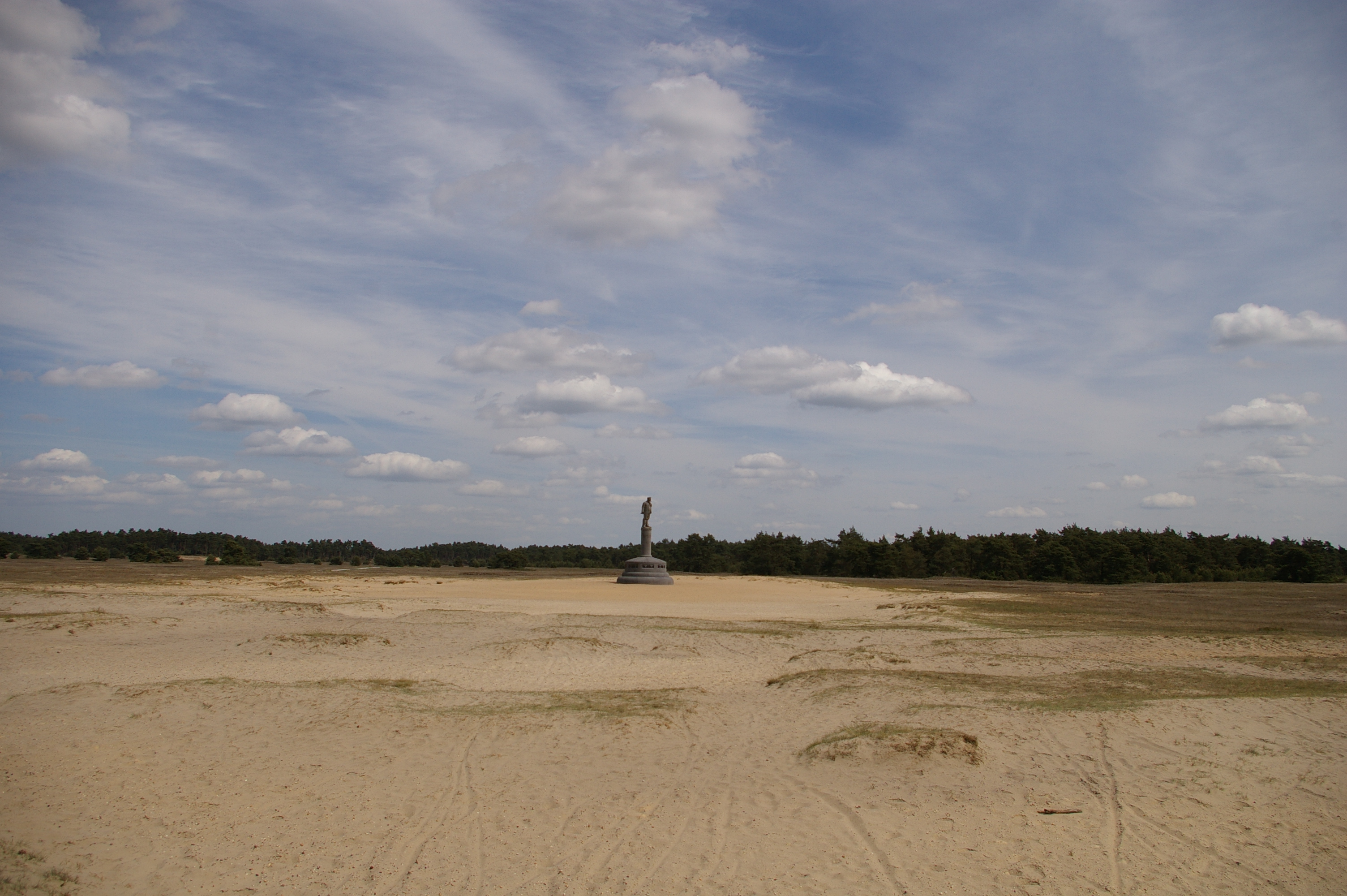
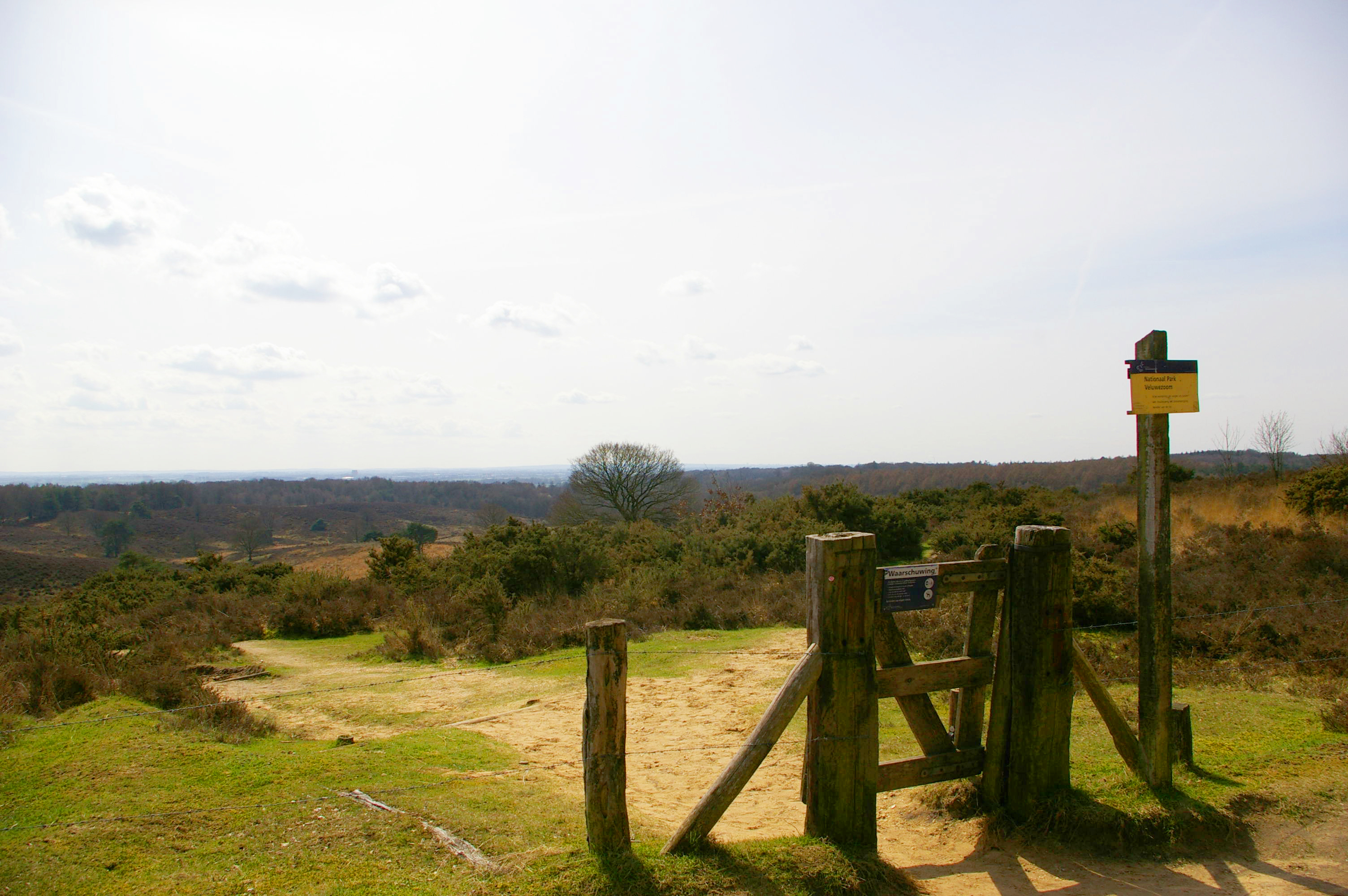
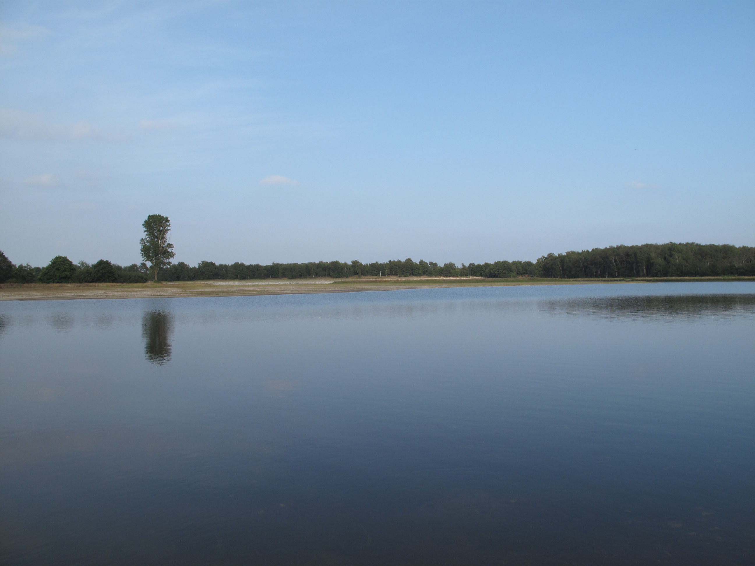
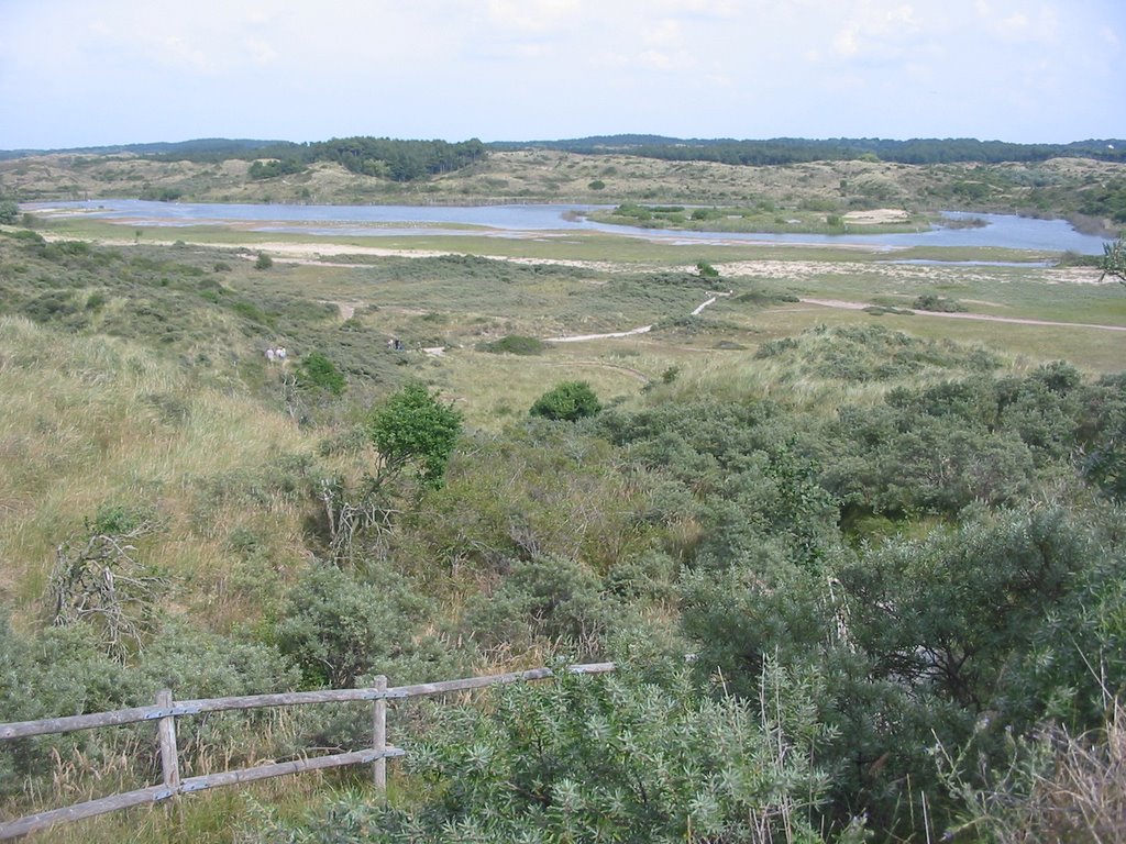
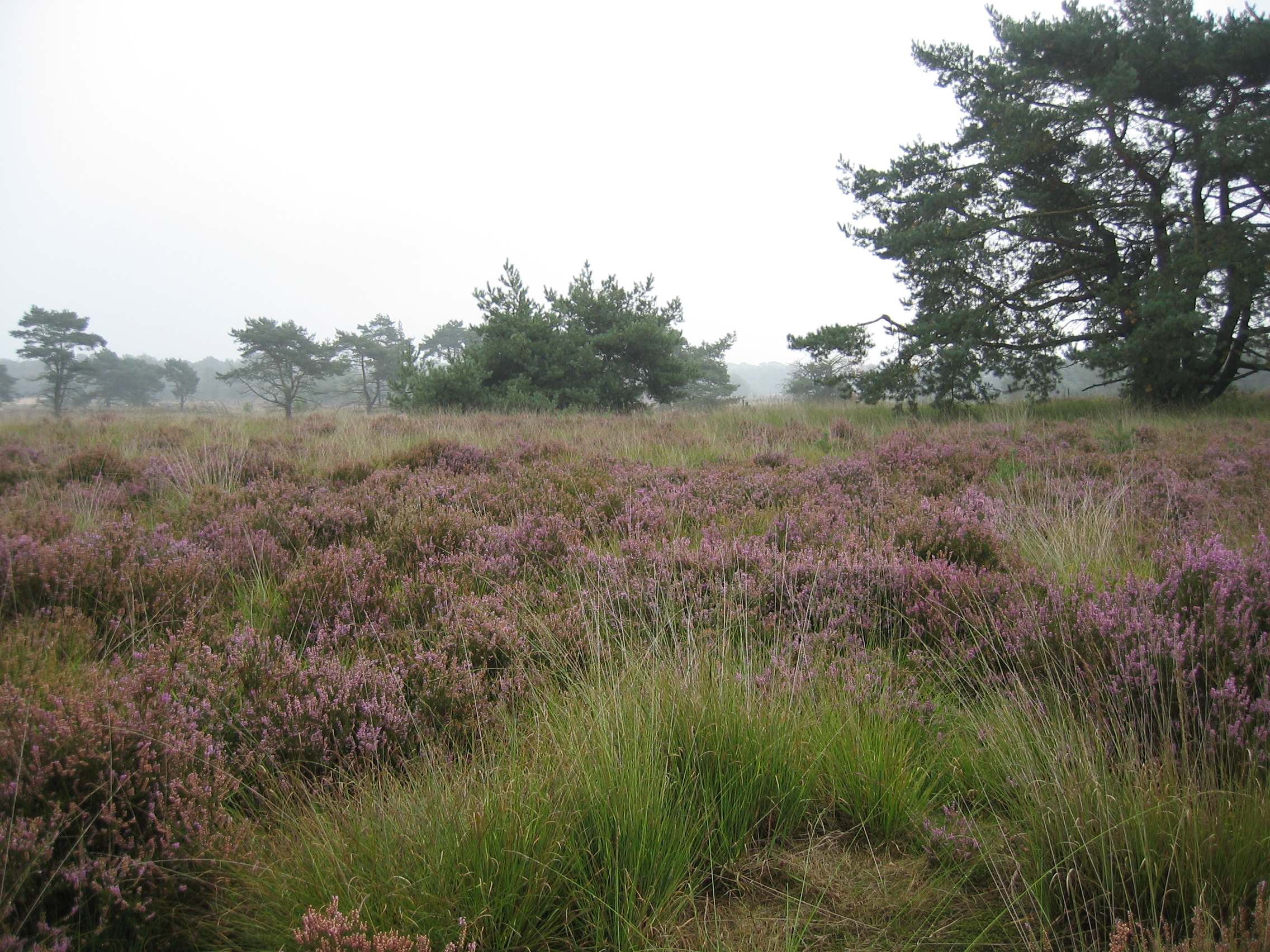
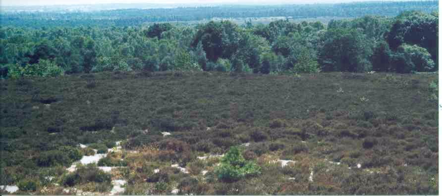
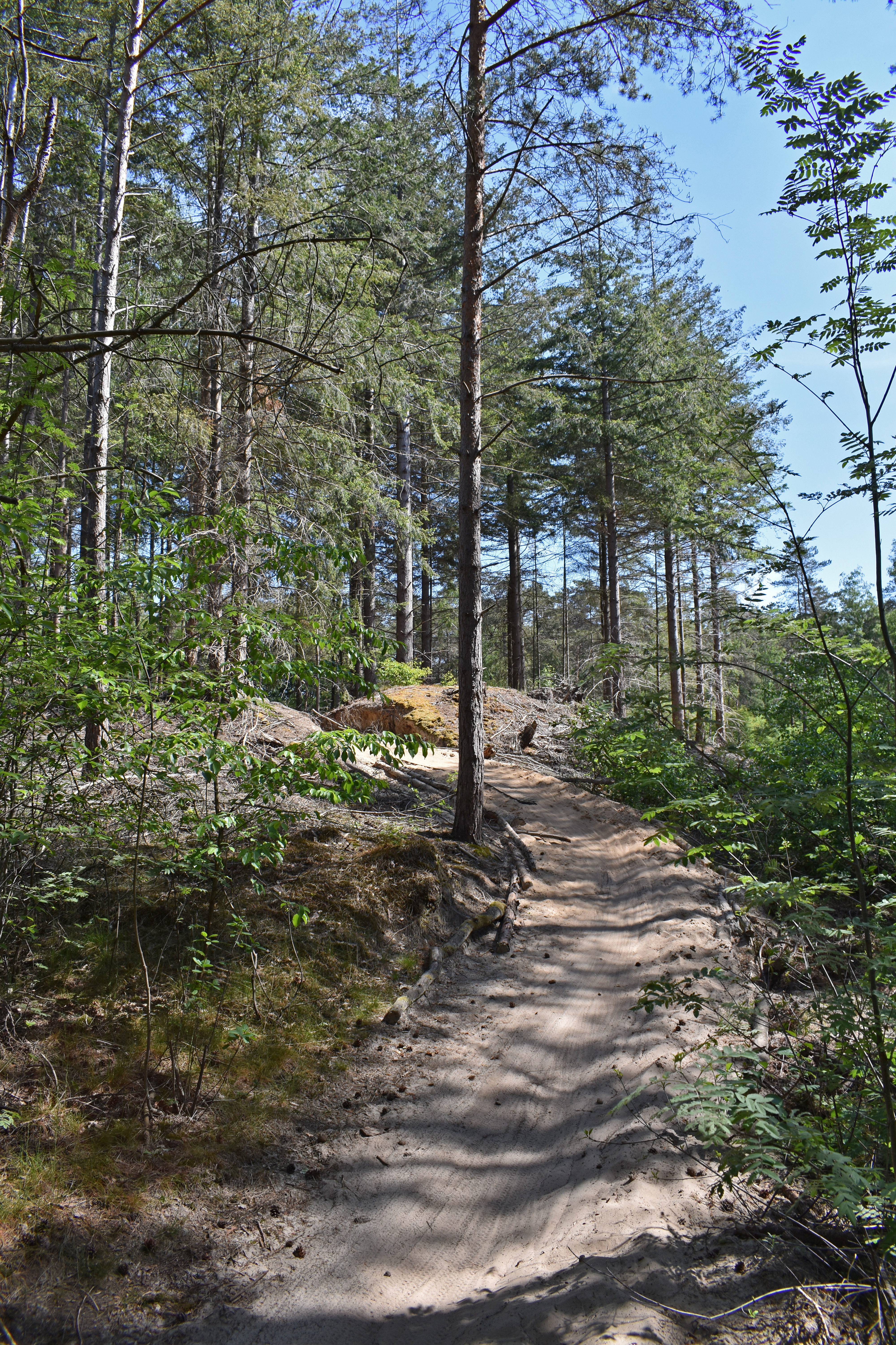
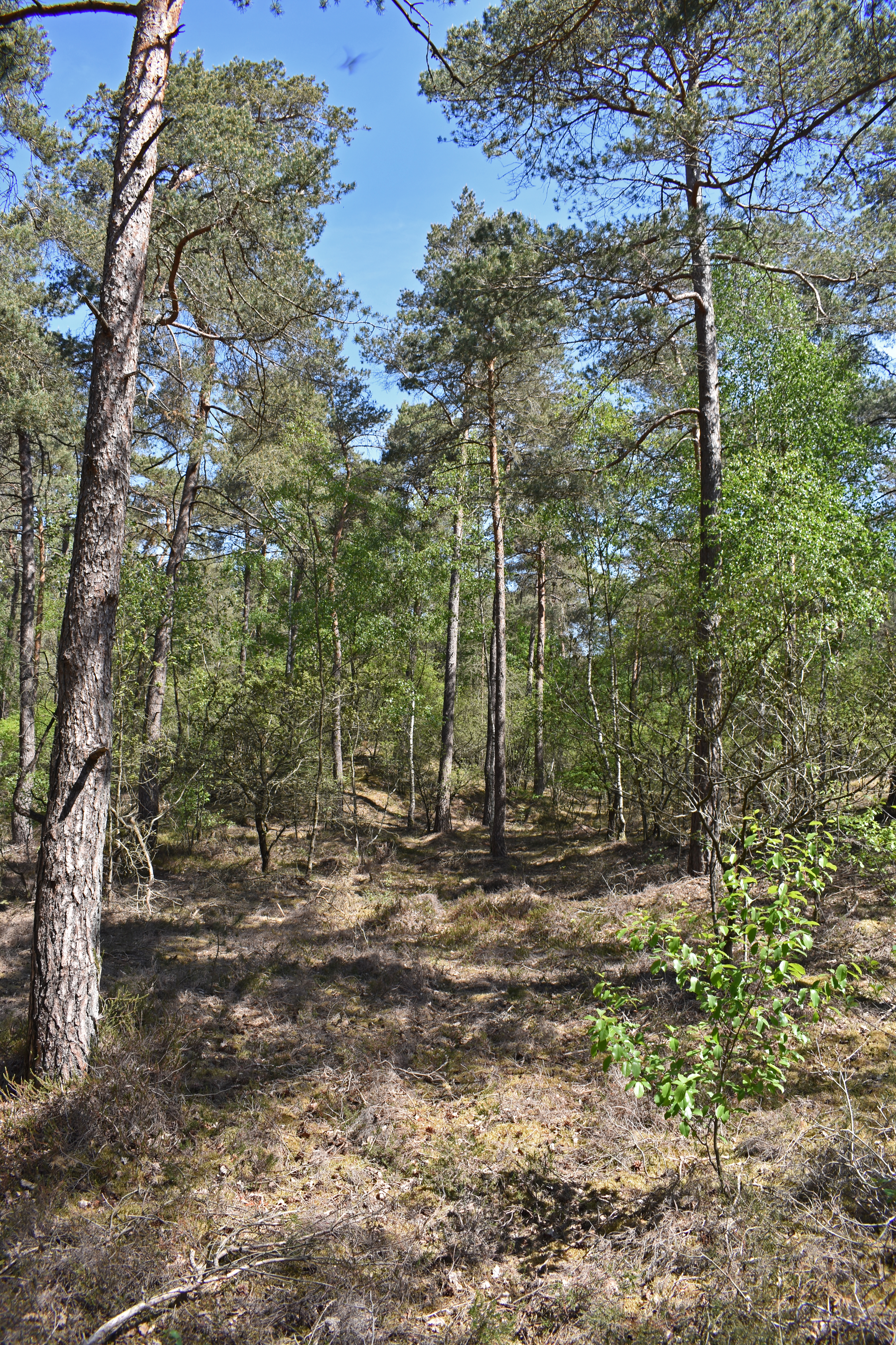
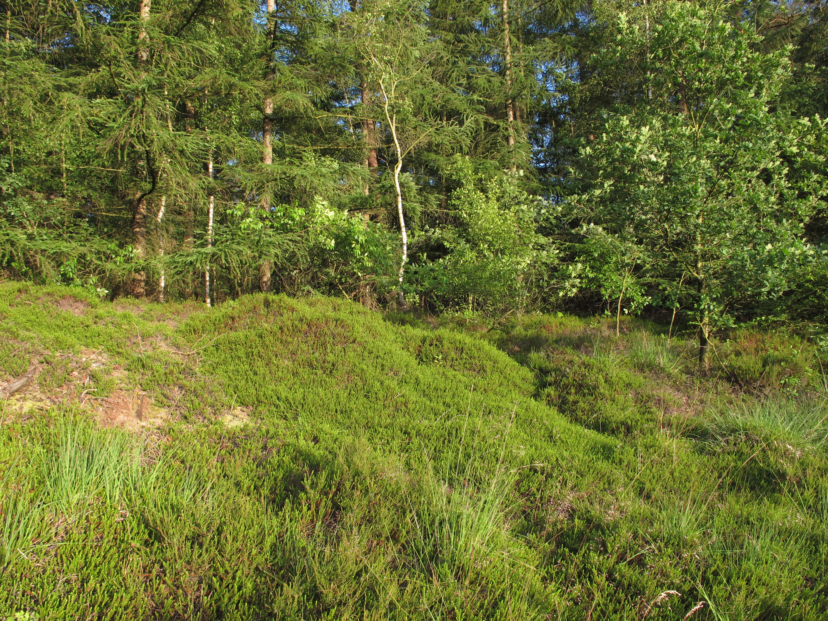
Het Nationaal Park Drents-Friese Wold is een groot aaneengesloten natuurgebied op de grens van de Nederlandse provincies Friesland en Drenthe. Het ruim 61 km² grote nationaal park bestaat uit bos, heide en stuifzanden. Belangrijke plaatsen aan de randen van het park zijn de dorpen Appelscha en vlechtdorp Noordwolde in Zuidoost-Friesland en Doldersum, Diever, Hoogersmilde, Wapse en Vledder in Drenthe.
Source: Wikipedia
Map
Drents-Friese Wold Photos
8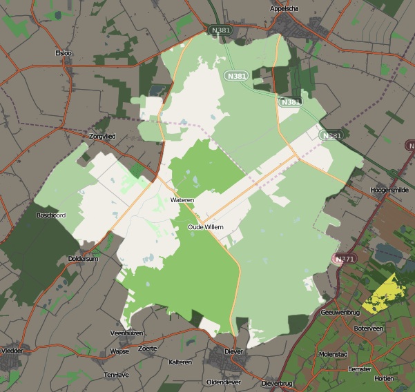
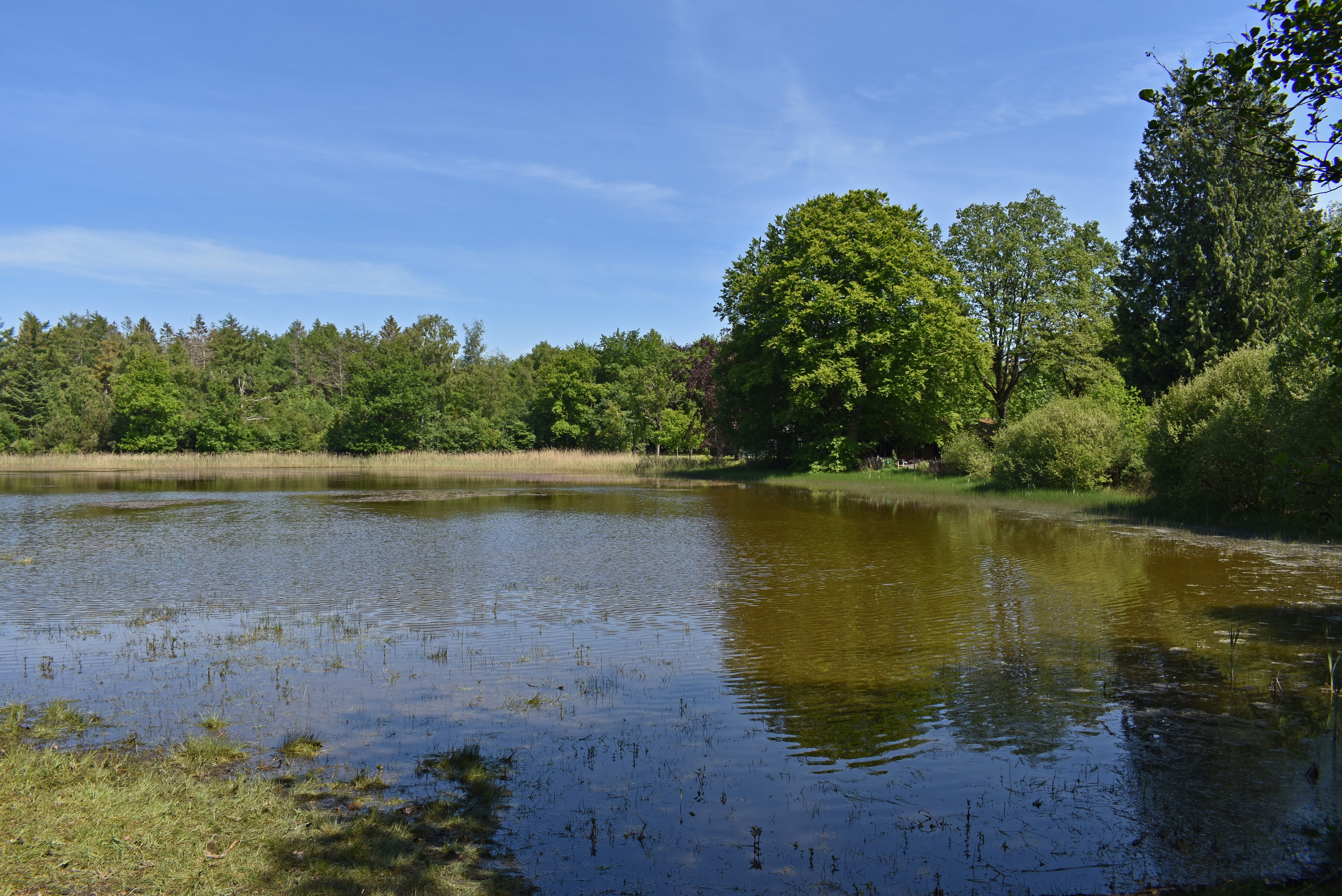
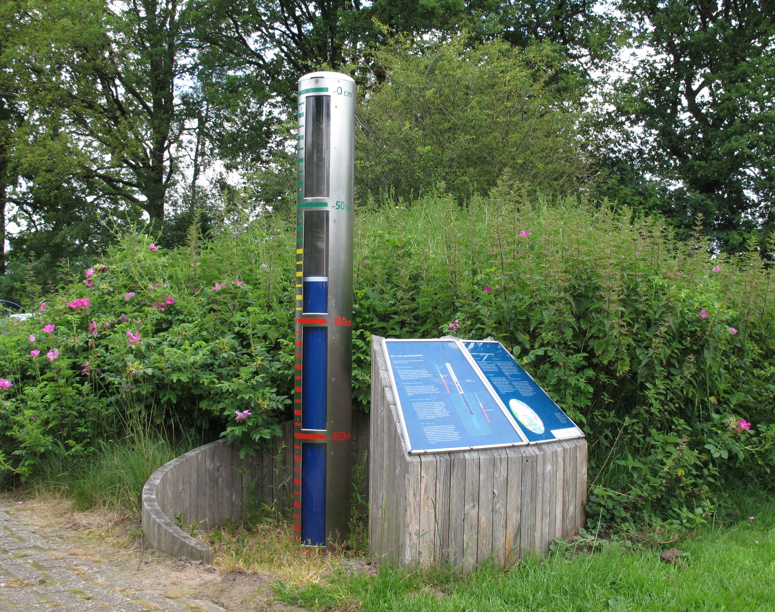
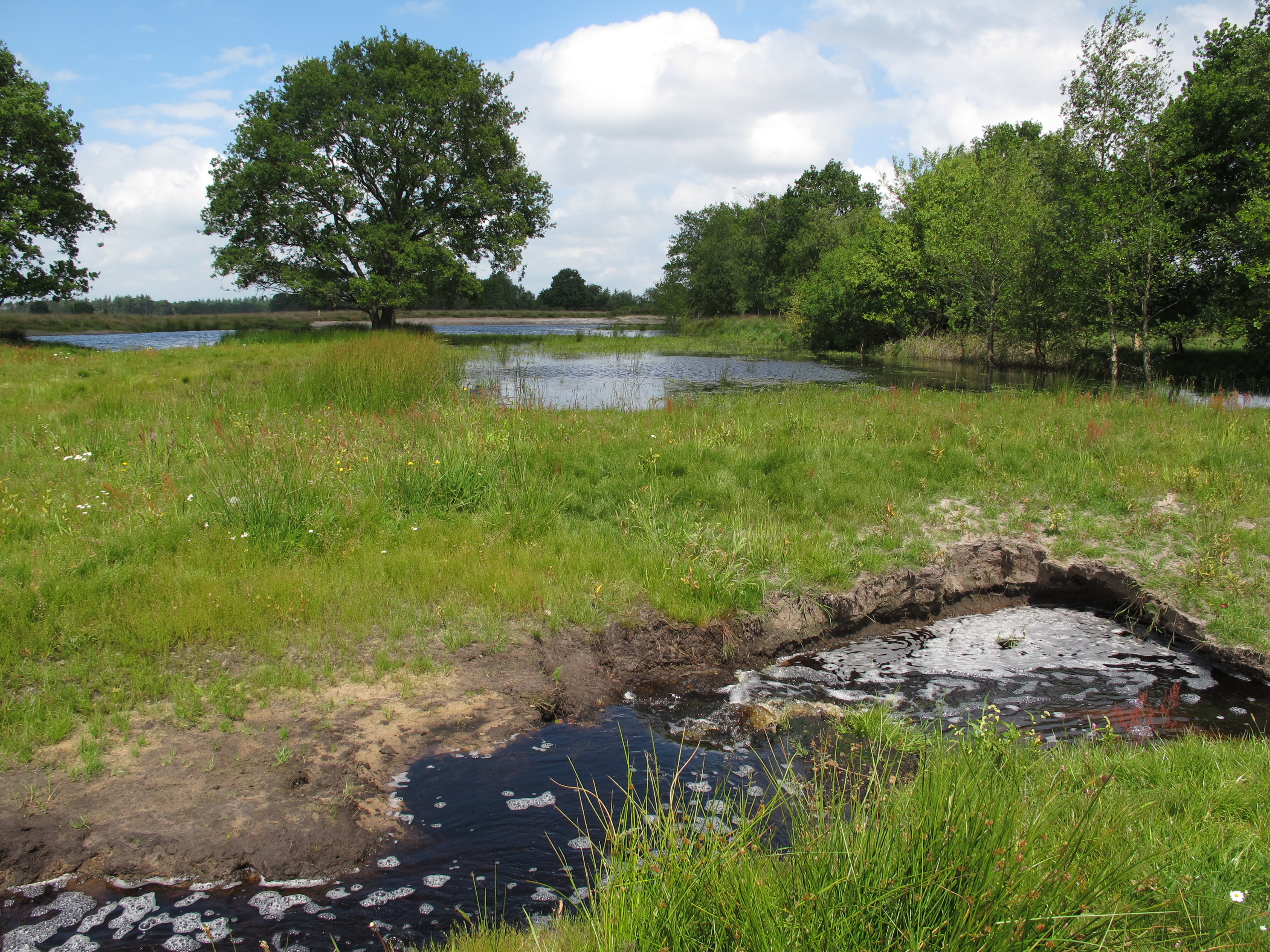
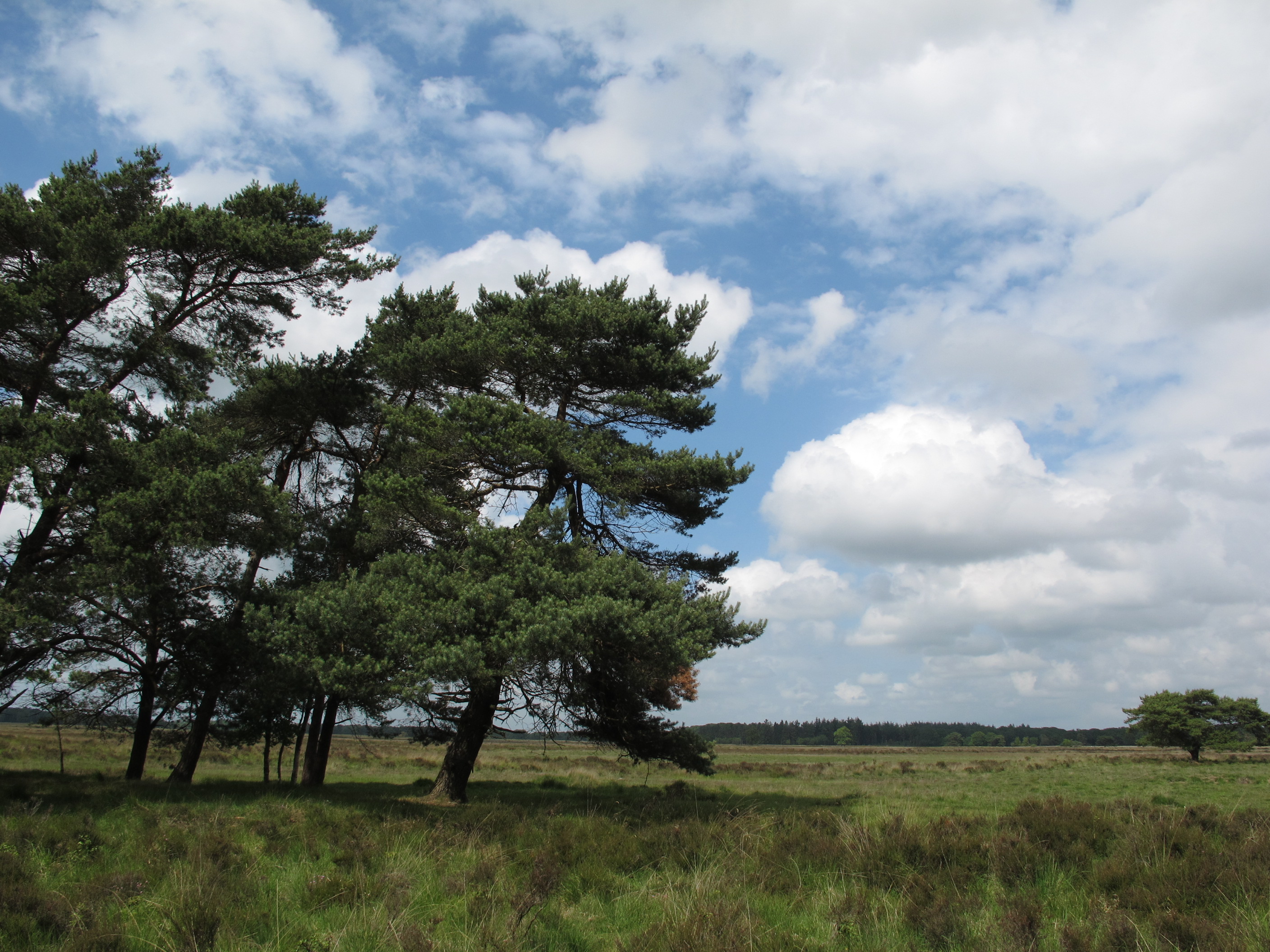
Photos from Wikimedia Commons. Licences vary per image.
Facilities
16 locationsLocation & Getting There
Drents-Friese Wold is located in Drenthe and Fryslân, in the Netherlands. It covers 1 km², making it the 6th largest national park in the Netherlands.
The nearest village is Diever (5.4 km away). Other nearby towns include Zorgvlied (6.5 km), Appelscha (6.8 km), Wapse (6.8 km). For directions and visitor information, see the official park website.
Closest National Park