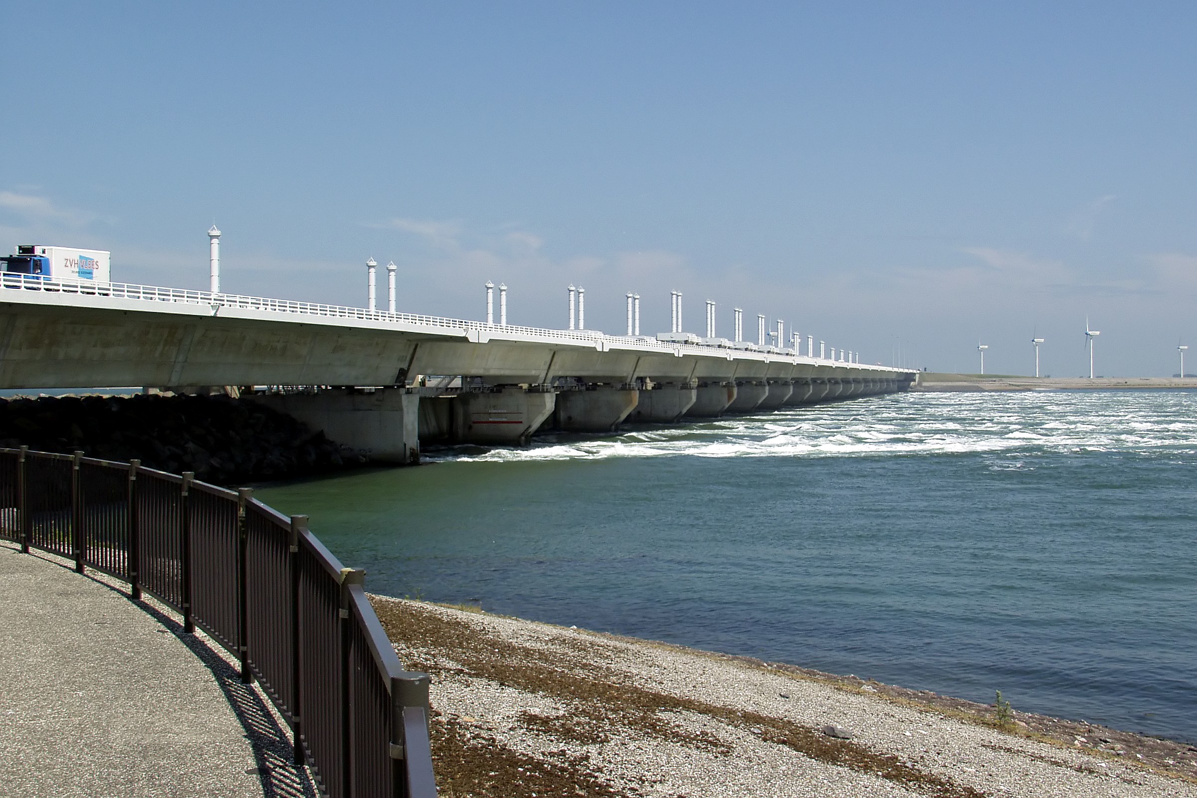
About Oosterschelde
The Eastern Scheldt (Dutch: Oosterschelde) is a former estuary in the province of Zeeland, Netherlands, between Schouwen-Duiveland and Tholen on the north and Noord-Beveland and Zuid-Beveland on the south. It also features the largest national park in the Netherlands, founded in 2002.
Source: Wikipedia
Map
Oosterschelde Photos
8
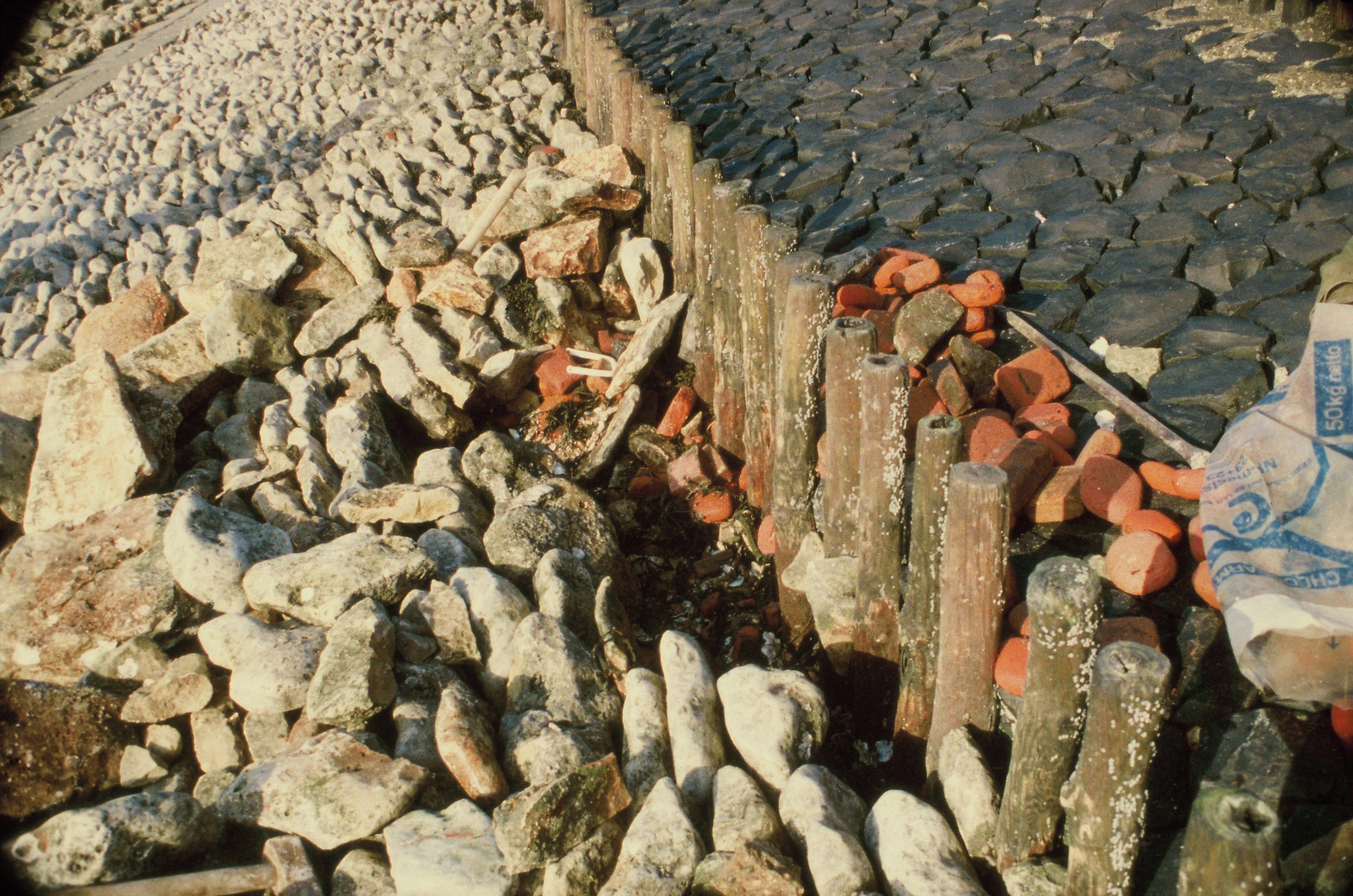
![Collectie / Archief : Fotocollectie Nederlandse Heidemaatschappij
Reportage / Serie : [ onbekend ]
Beschrijving : aanleg en verbeteren van wegen, dijken en spaarbekken, sluizen, Strijenham
Datum : februari 1953
Locatie : Strijenham, Zeeland
Trefwoorden : aanleg en verbeteren van wegen, dijken en spaarbekken, sluizen
Fotograaf : [onbekend]
Auteursrechthebbende : Nationaal Archief
Materiaalsoort : Negatief (zwart/wit)
Nummer archiefinventaris : bekijk toegang 2.24.06.02
Bestanddeelnummer : 161-0083](/nationale-parken/oosterschelde/gallery/3.jpg)
![Uitzicht vanaf Colijnsplaat op de Oosterschelde. Het monument op de voorgrond "herdenkt Johannis de Rijke (1842-1913), geboren in Colijnsplaat, die dertig jaar in Japan werkte. Hij [...] paste zijn vakkennis en praktische ervaring met Nederlandse waterwerken toe bij de aanleg en verbetering van havens, grachten, dijken en waterfronten in Japan [...]". (afkomstig van de roodachtige plaat op het sokkel).
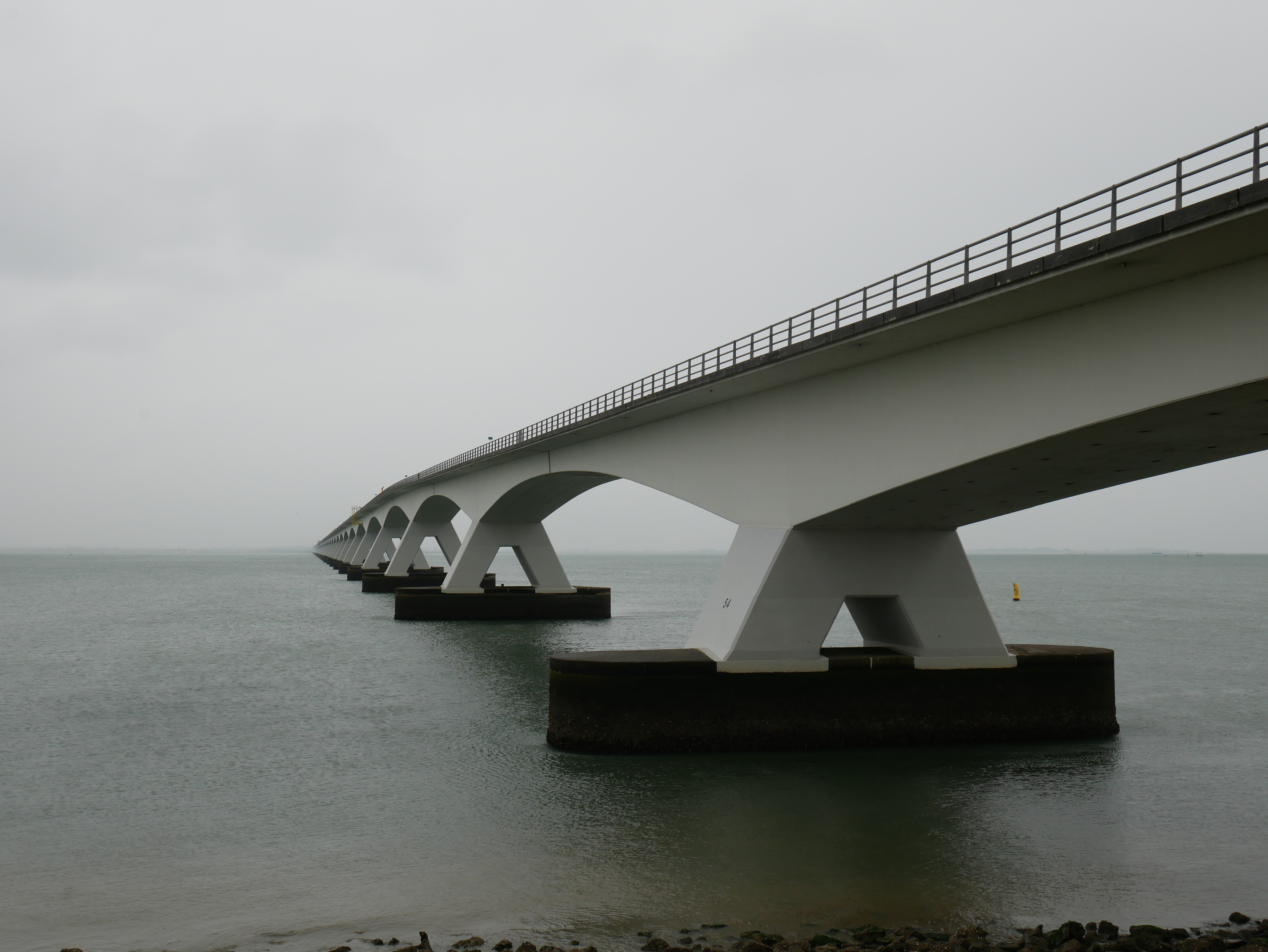
Op de achtergrond de Oosterschelde, de Zeelandbrug en de "Vliestroom" (Nederlandse Kustwacht).
View from Colijnsplaat on the Oosterschelde. The monument in the foreground "commemorates Johannis de Rijke (1842-1913), born in Colijnsplaat, who worked in Japan for thirty years. [ ... ] He [ ... ] applied his professional knowledge and practical experience of Dutch waterworks to build and improve harbours, canals, dikes, and waterfronts in Japan [...]". (taken from the reddish plate on the base).
In the background the Oosterschelde, the Zeelandbrug, and the "Vliestroom" of the Netherlands Coastguard.
Blick von Colijnsplaat auf die Oosterschelde. Das Denkmal im Vordergrund "erinnert an Johannis de Rijke (1842-1913), geboren in Colijnsplaat, der dreißig Jahre lang in Japan tätig war. [ ...] Er [ ...] setzte sein professionelles Wissen und seine praktische Erfahrung mit niederländischen Wasserbauwerken ein, um Häfen, Kanäle, Deiche und Hafenanlagen in Japan zu bauen und zu verbessern [...]". (entnommen von der rötlichen Platte auf dem Sockel).
Im Hintergrund die Oosterschelde, die Zeelandbrug und die "Vliestroom" der Niederländischen Küstenwache.
(I started with the English text, because the plate on the base is in English as well. Translation to Dutch and German by Deepl.com + a few manual changes).](/nationale-parken/oosterschelde/gallery/7.jpg)
Photos from Wikimedia Commons. Licences vary per image.
Facilities
24 locationsLocation & Getting There
Oosterschelde is located in Zeeland, in the Netherlands. It covers 4 km², making it the second largest national park in the Netherlands.
The nearest village is Stavenisse (5.0 km away). Other nearby towns include Ouwerkerk (5.5 km), Kattendijke (6.6 km), Wemeldinge (7.3 km). For directions and visitor information, see the official park website.
Closest National Park