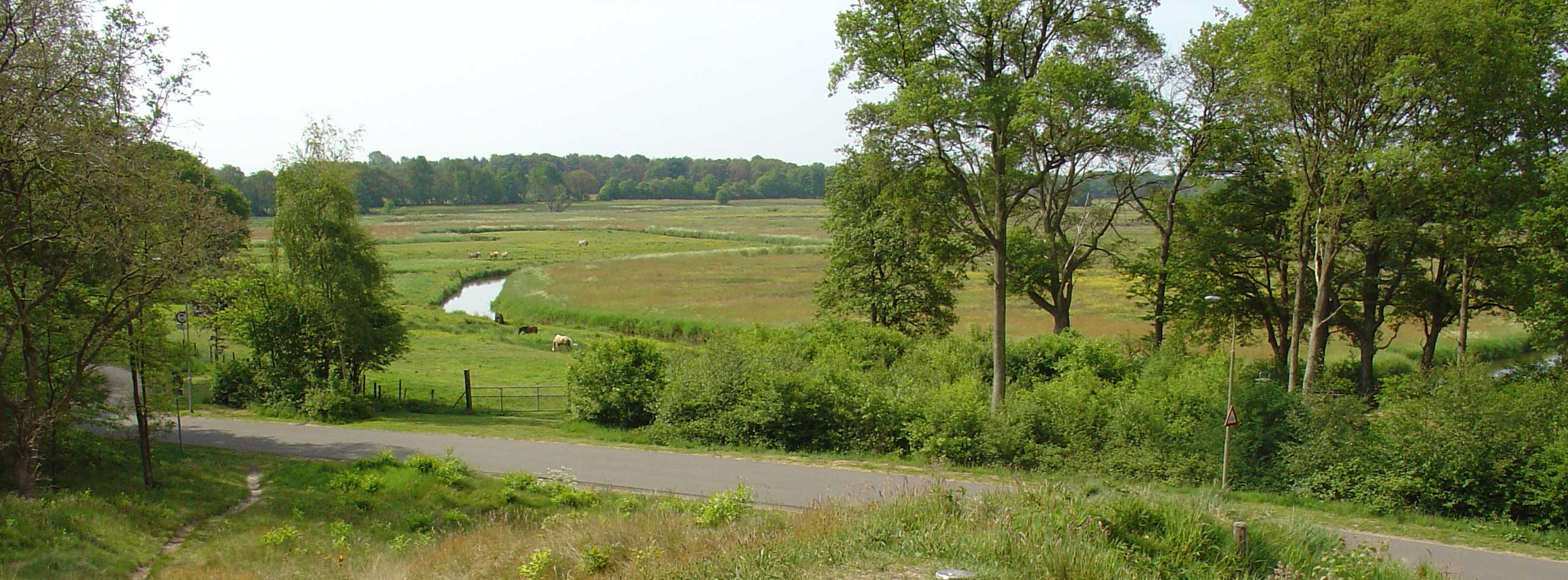
About Drentsche Aa
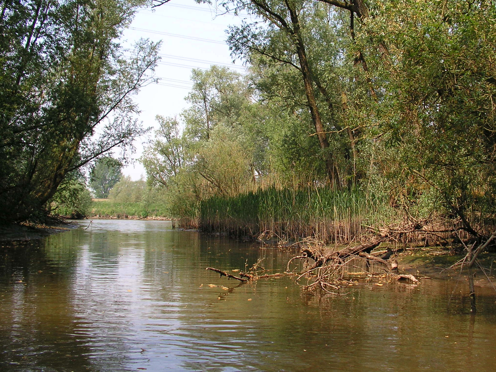
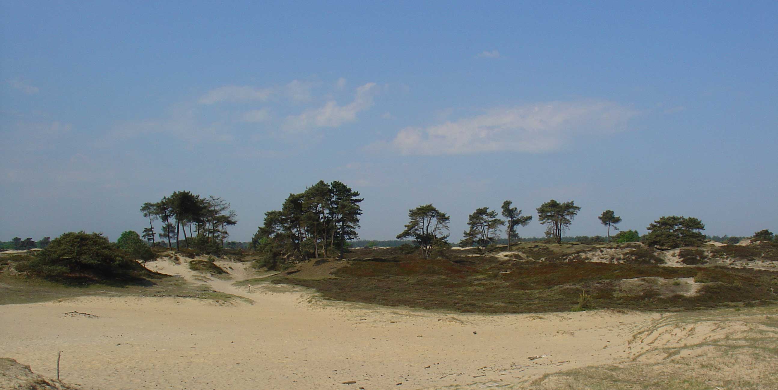
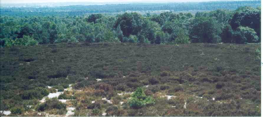
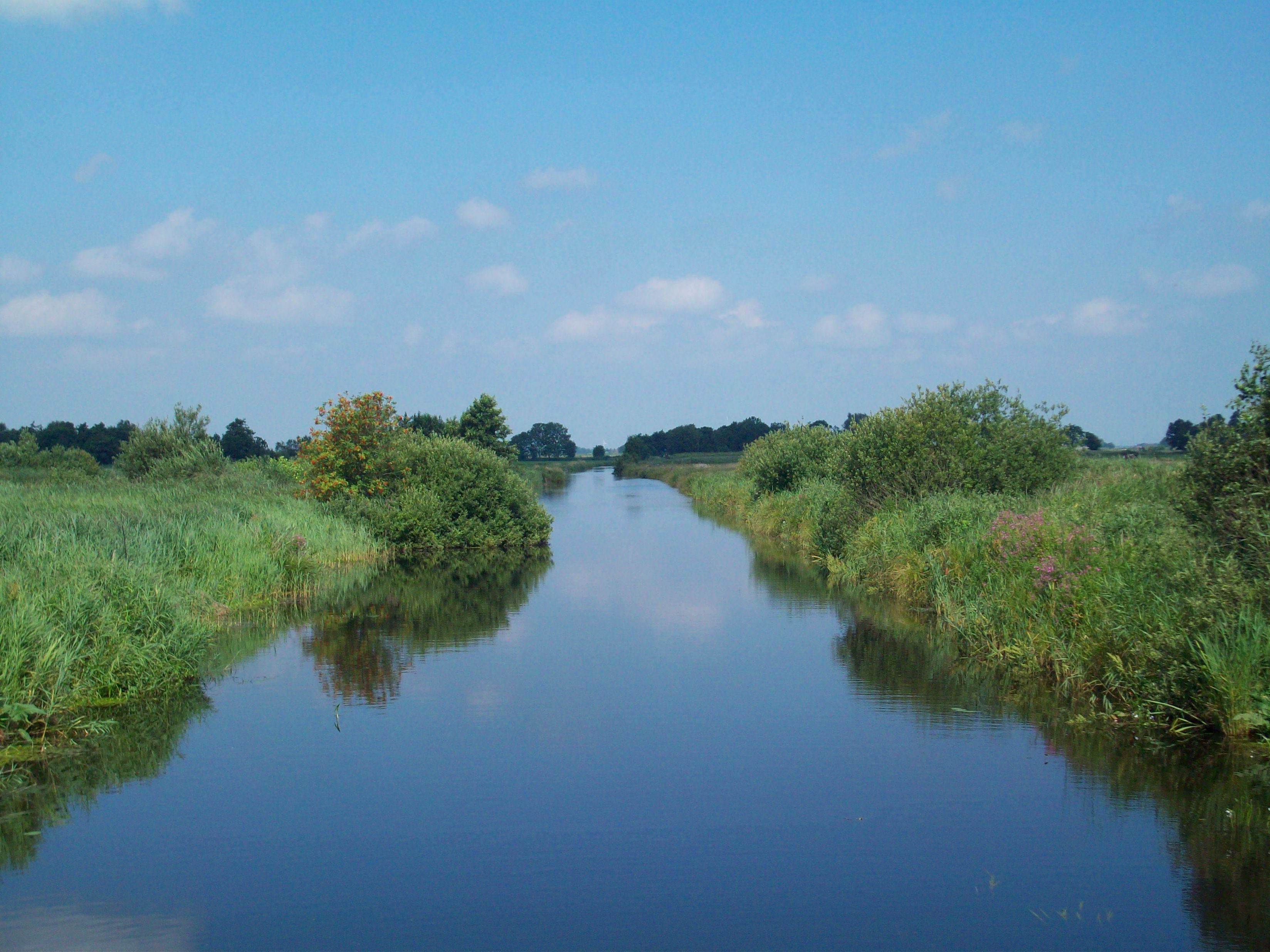
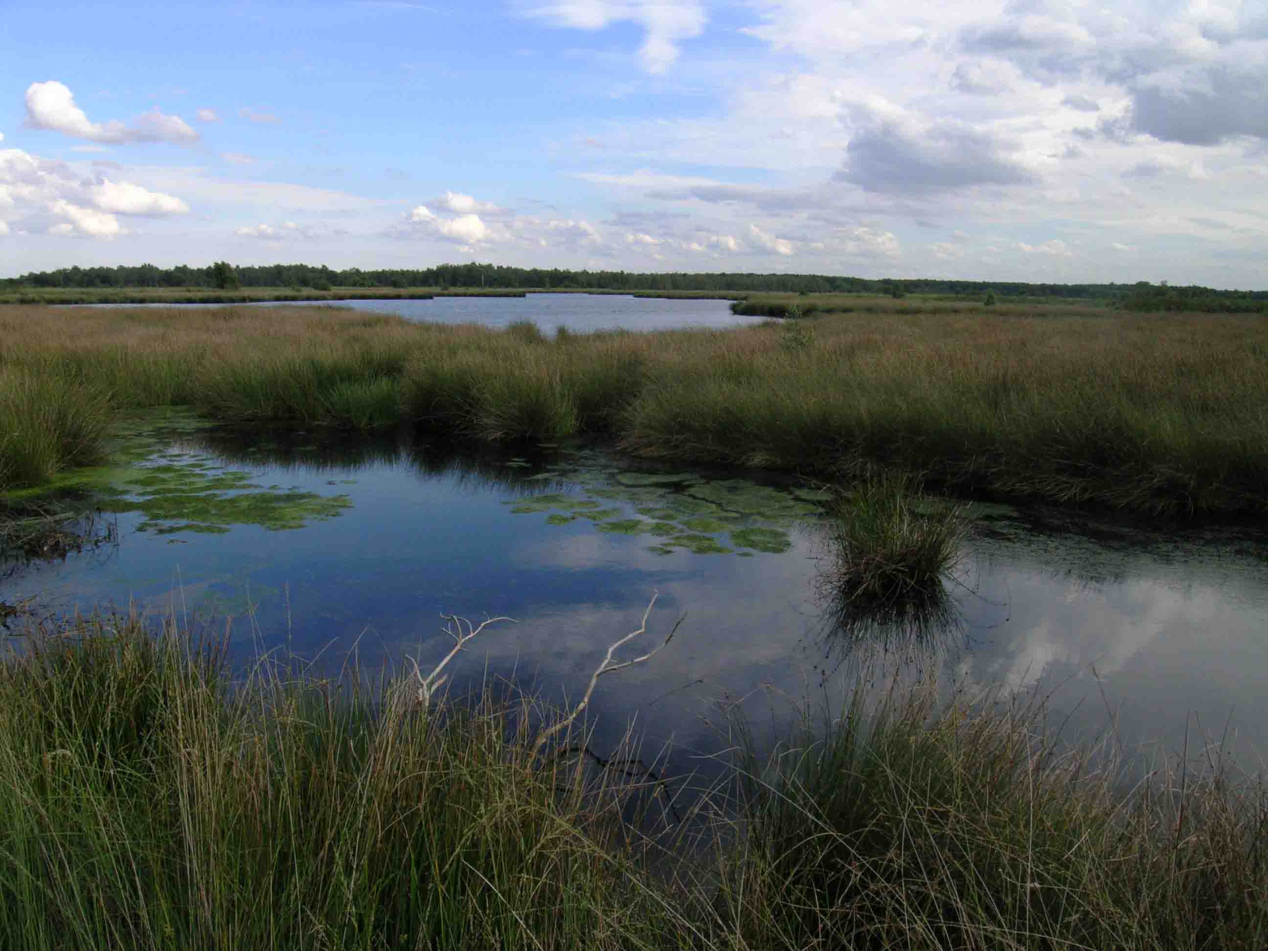
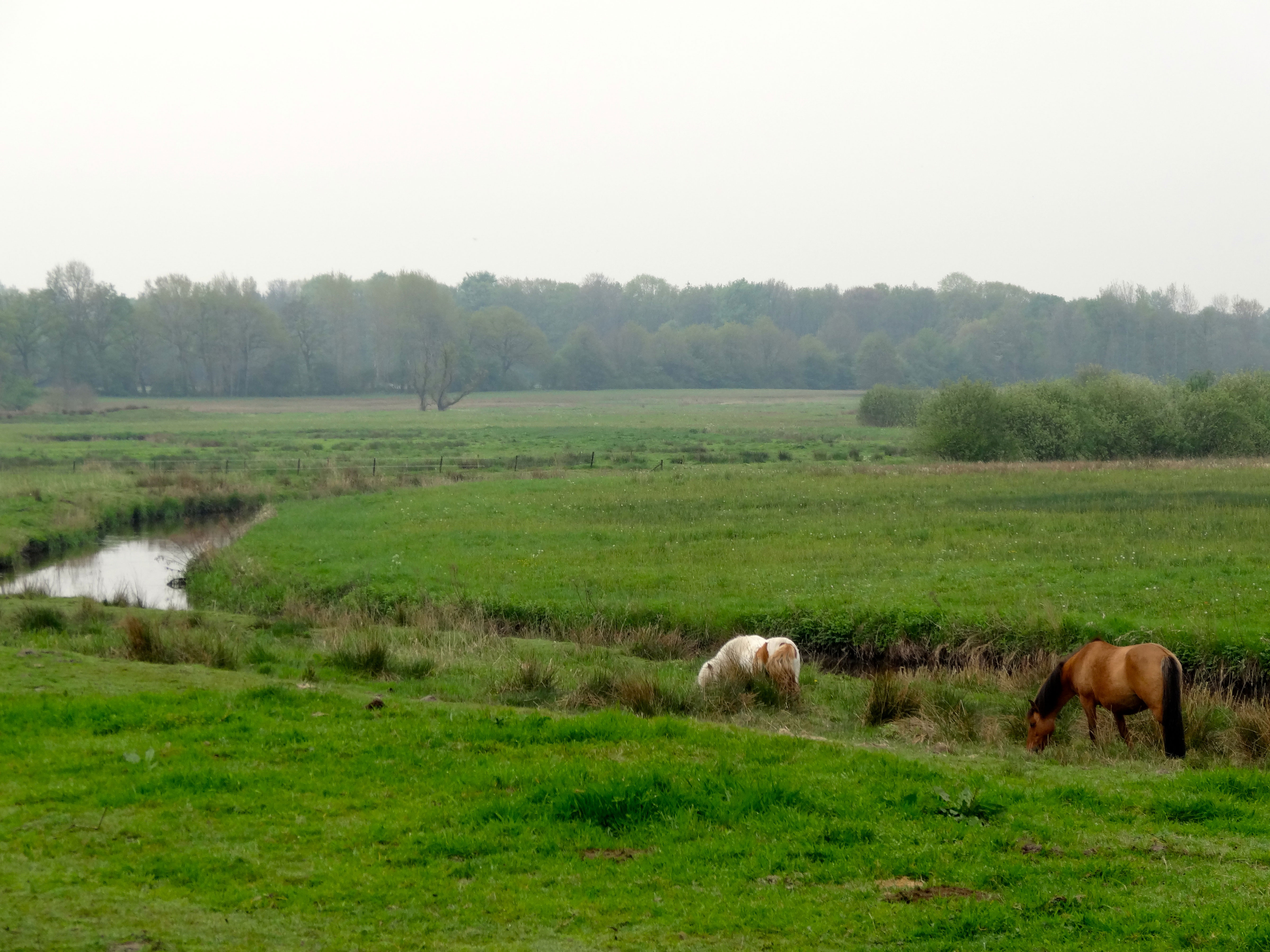
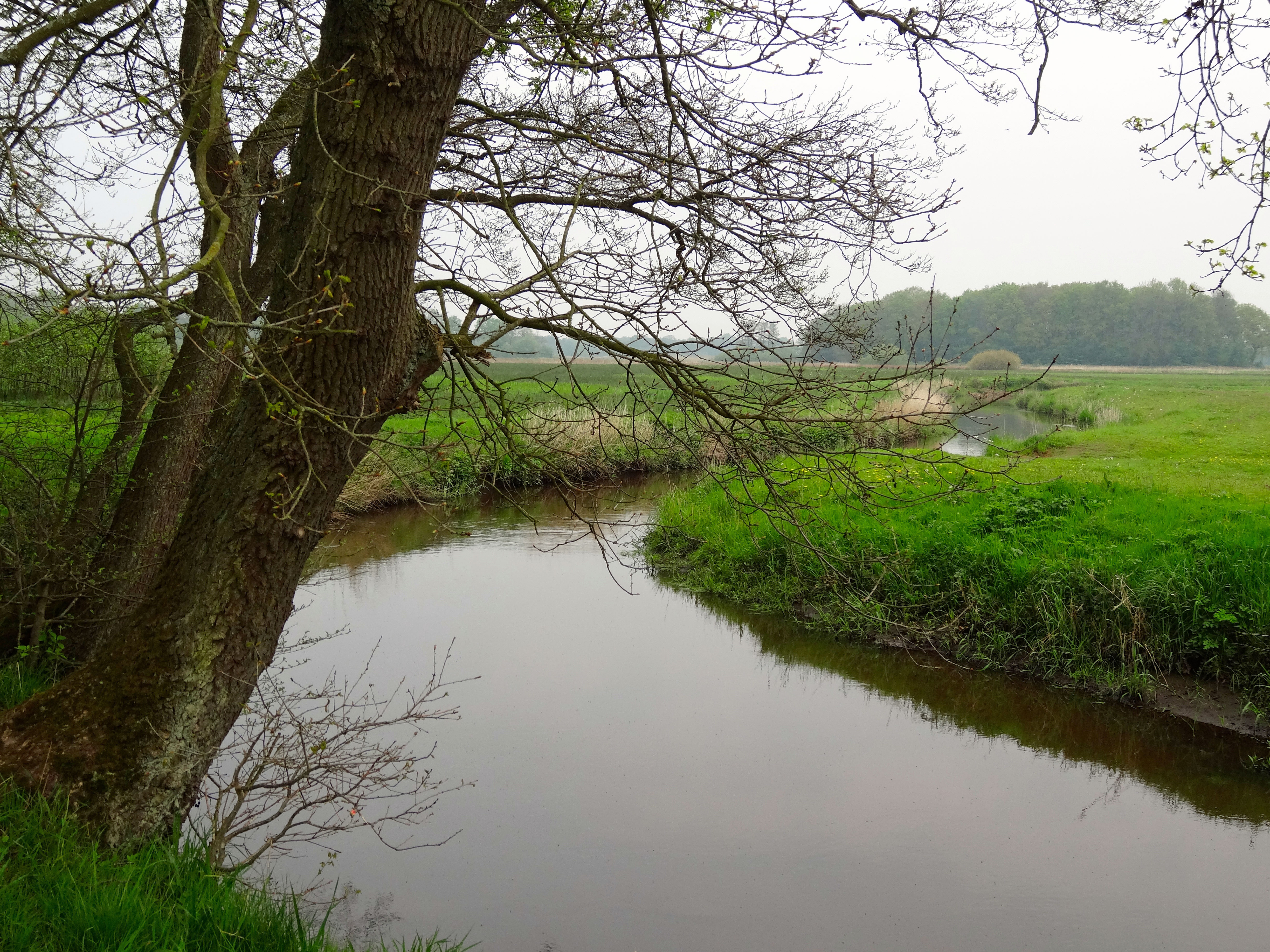
The Drentsche Aa (Dutch pronunciation: [ˌdrɛntsə ˈʔaː]) is a river rising in the Dutch province of Drenthe, flowing through Drenthe and for the last part the province of Groningen. It ends in the Schipsloot near Haren, which flows into the Noord-Willemskanaal; however, originally it ended into the Selwerderdiep. The water finally ends in the Lauwersmeer and Waddenzee. In Groningen and the northernmost part of Drenthe, the water is known as Drentsche Aa (sometimes Aa in Groningen), but in Drenthe it has a multitude of local names, such as Deurzerdiep, Looner Diep, Taarlosche Diep, Oudemolensche Diep, Schipborgsche Diep, and Westerdiep. A large part of the catchment of the Drentsche Aa is located in the Drentsche Aa National Landscape.
Source: Wikipedia
Map
Drentsche Aa Photos
8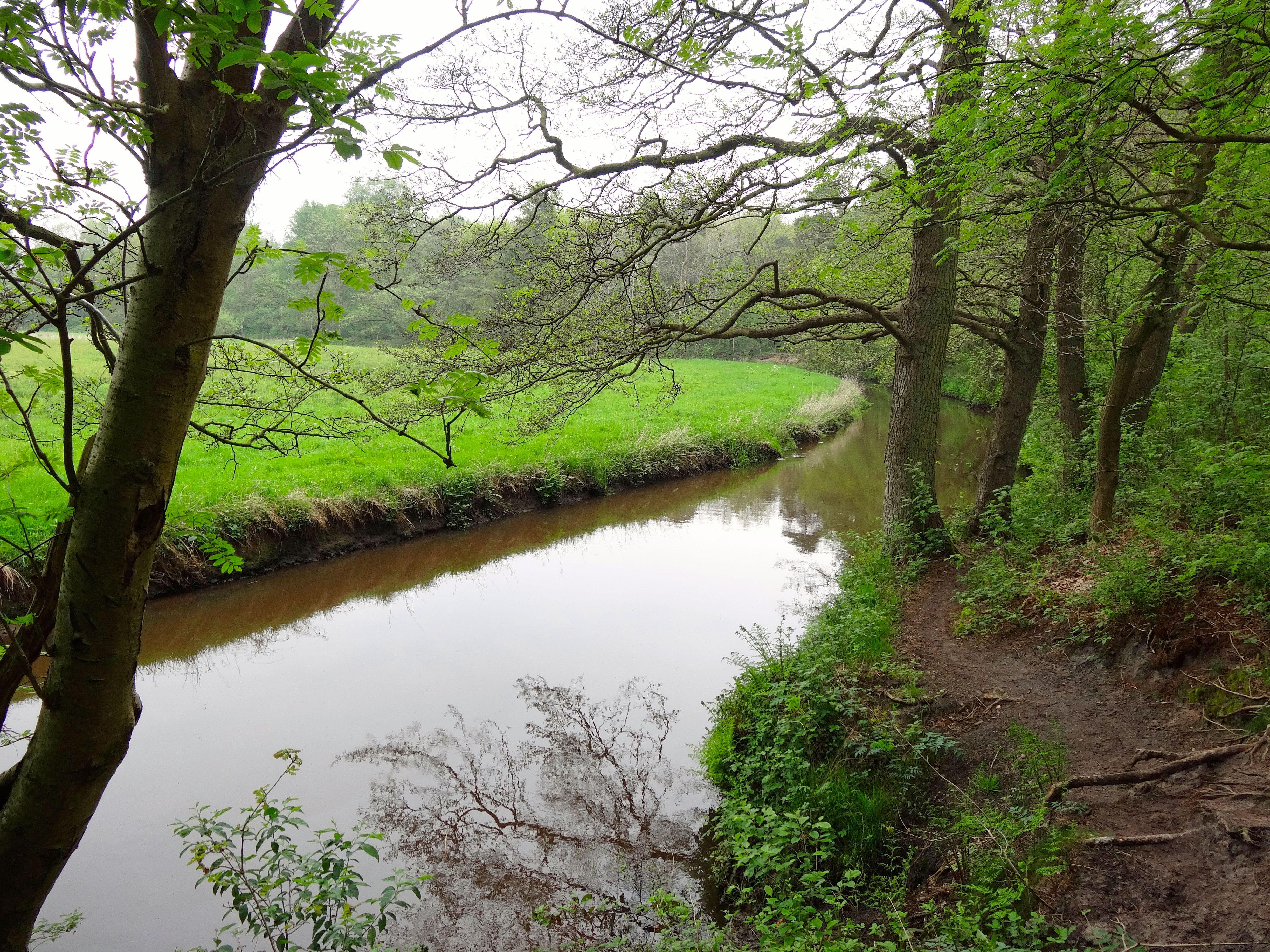
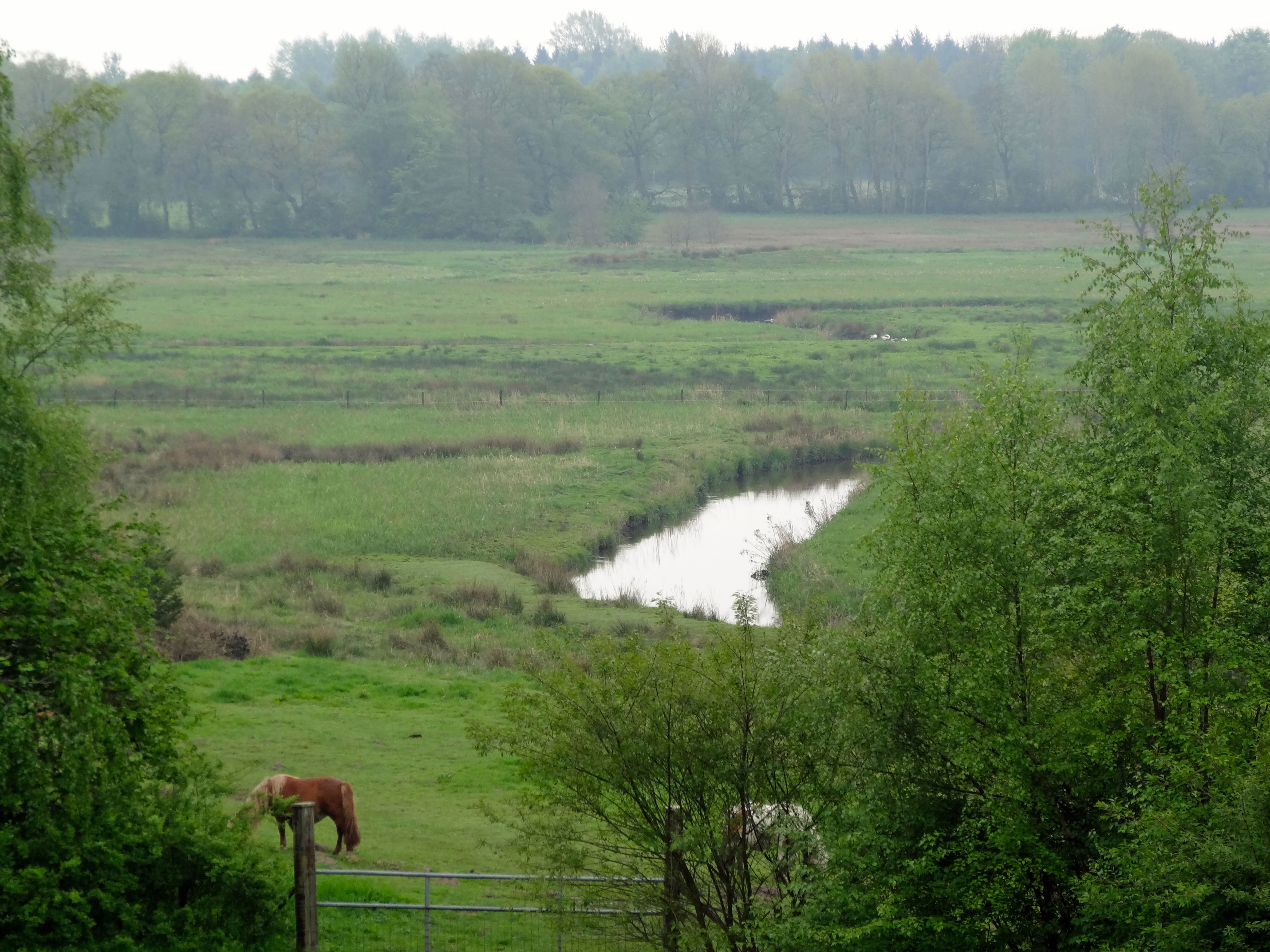
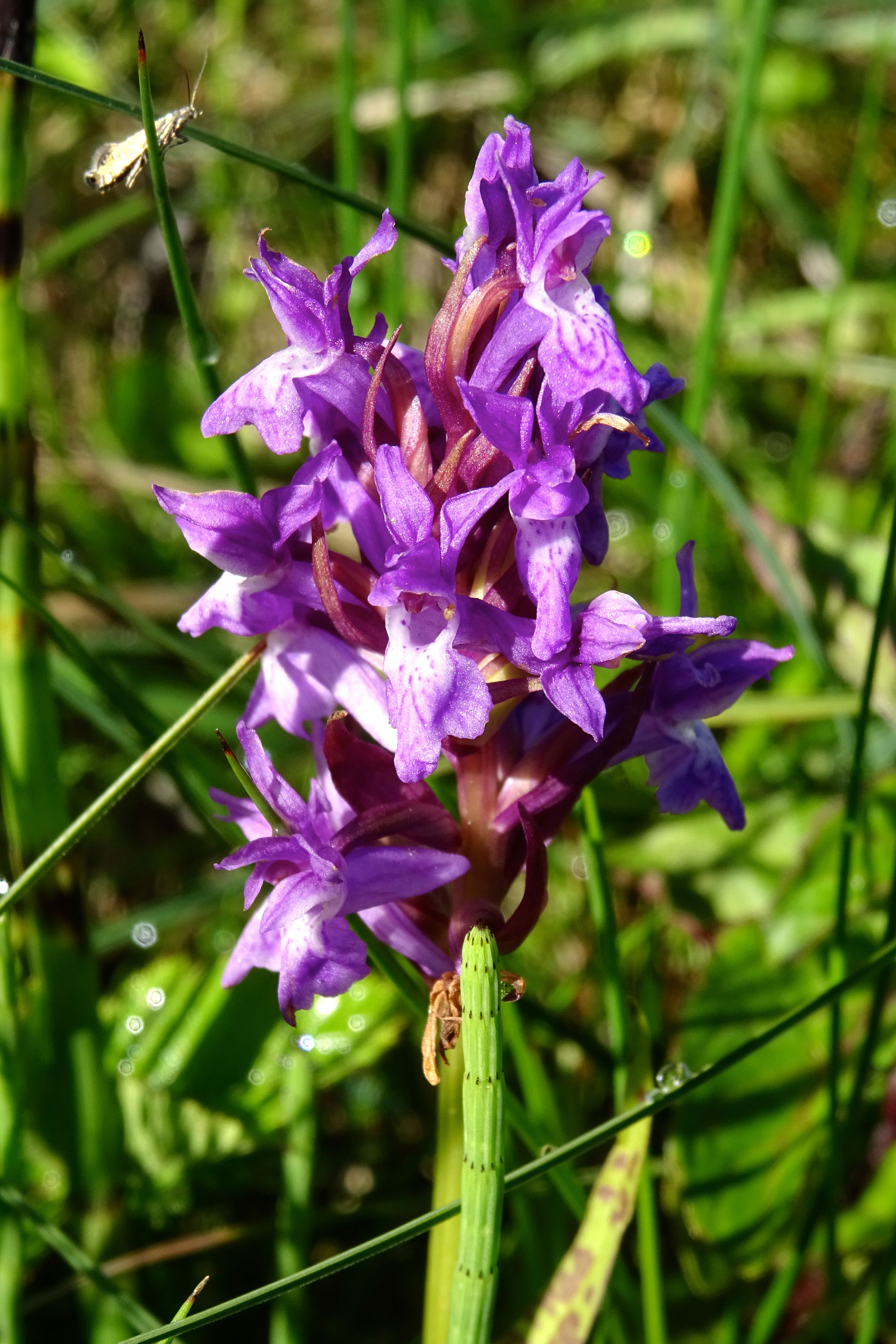
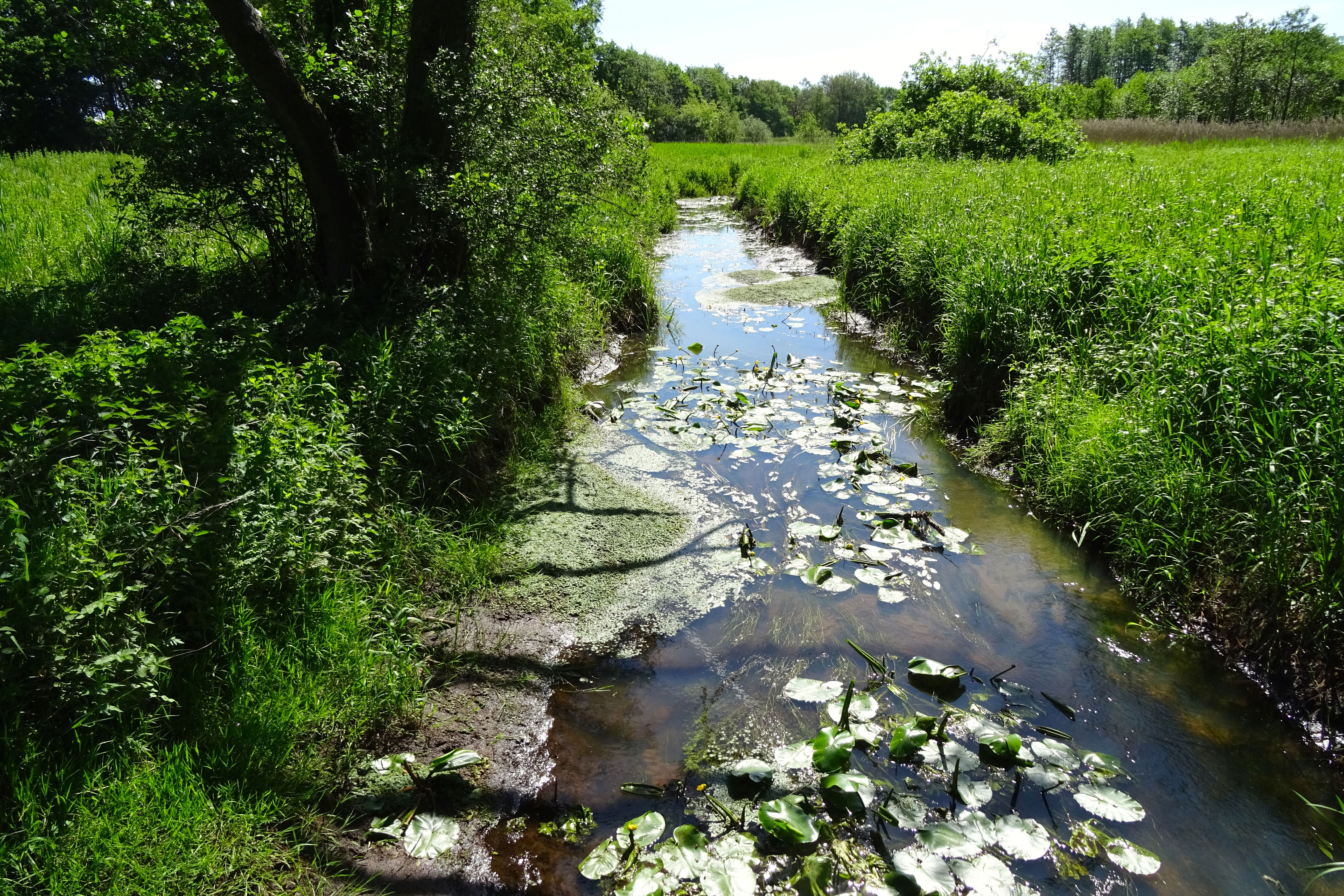
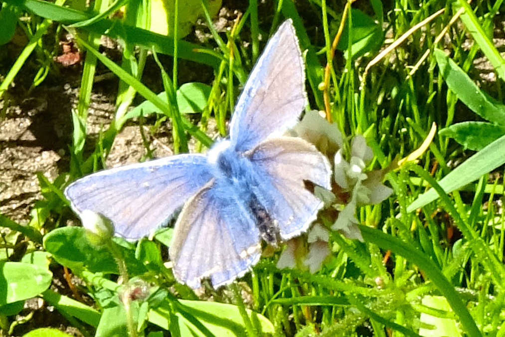
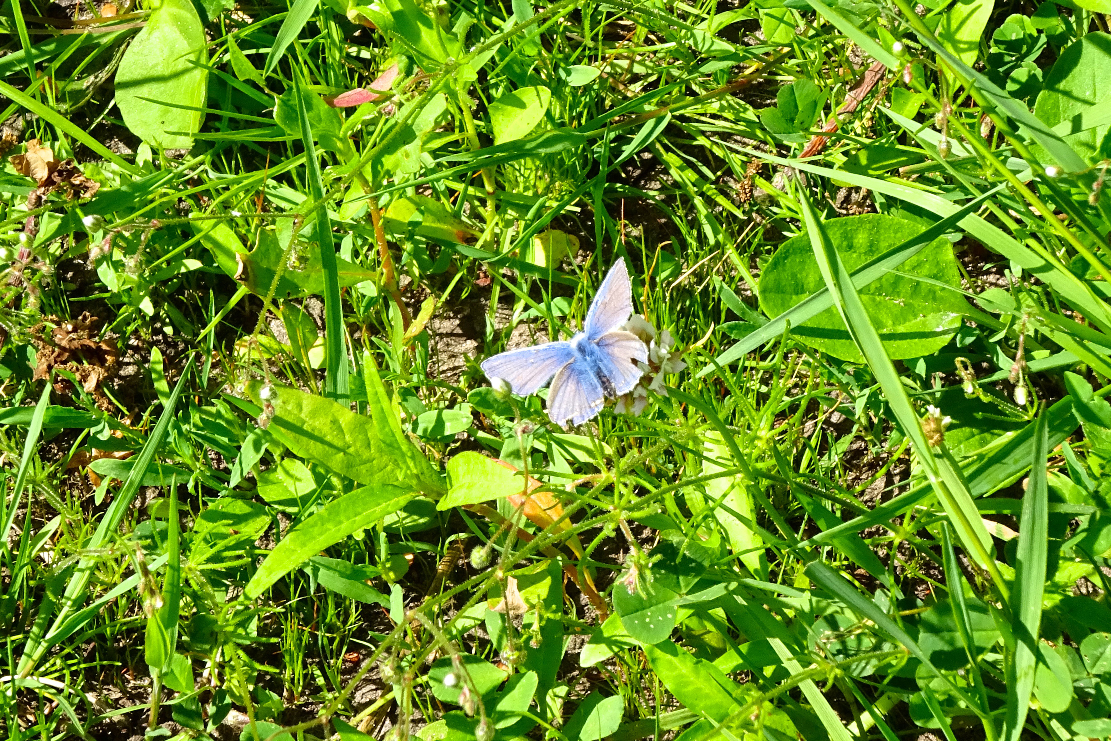
Photos from Wikimedia Commons. Licences vary per image.
Facilities
89 locationsLocation & Getting There
Drentsche Aa is located in Drenthe and Groningen, in the Netherlands. It covers 1 km², making it the 4th largest national park in the Netherlands.
The nearest village is Anderen (2.2 km away). Other nearby towns include Rolde (2.4 km), Nooitgedacht (2.9 km), Balloo (4.0 km). For directions and visitor information, see the official park website.
Closest National Park