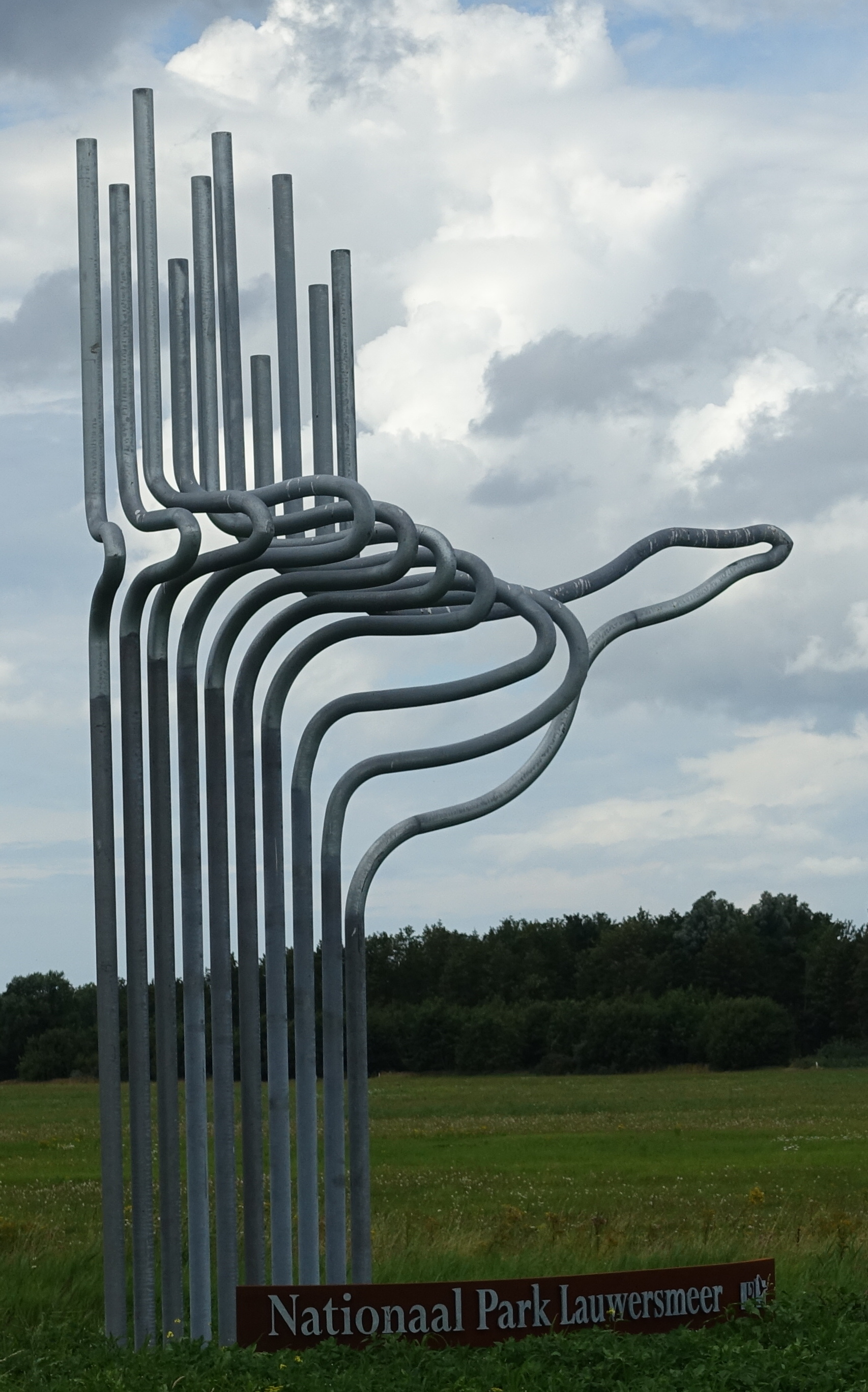
About Lauwersmeer
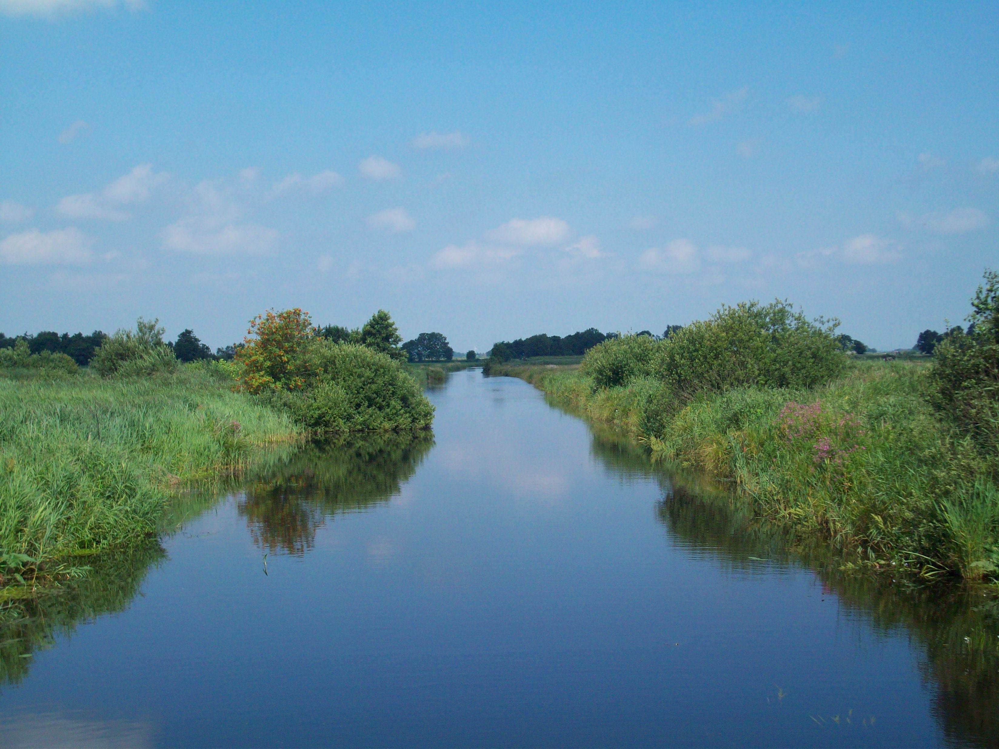
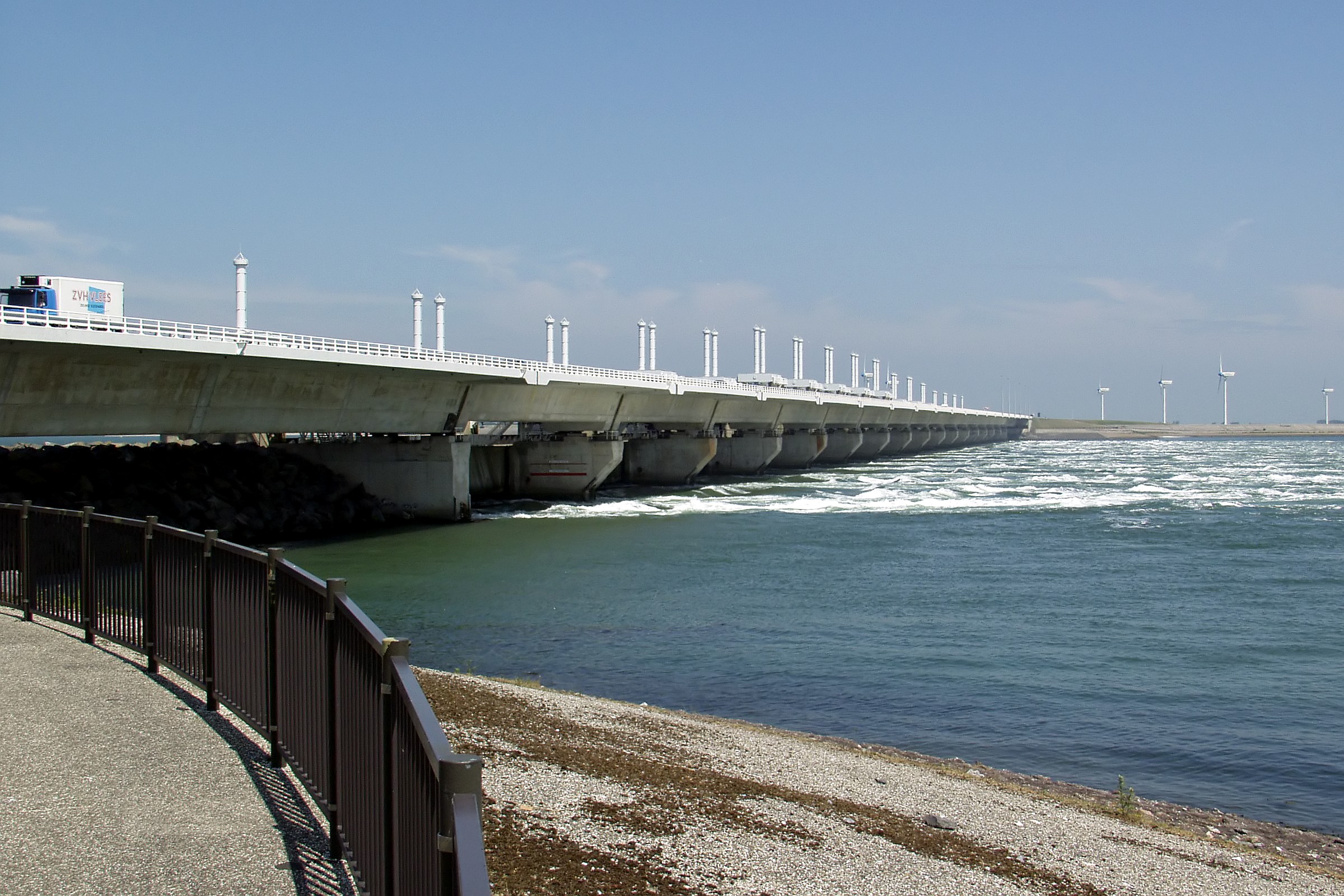
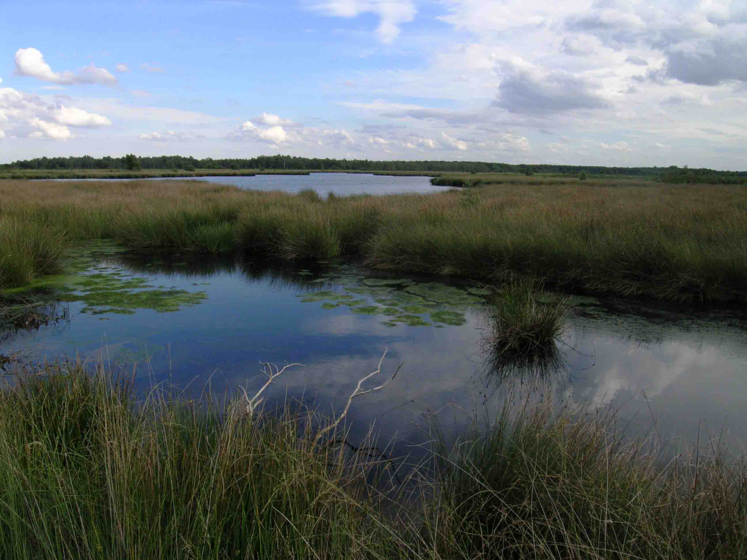
Lauwersmeer (Dutch pronunciation: [ˌlʌu.ərsˈmeːr]) is a man-made lake in the north of the Netherlands, on the border of the provinces of Groningen and Friesland. The lake was formed on 23 May 1969, when the dike between the bay called Lauwers Sea and the Wadden Sea was closed. It is noted for birdwatching. On the eastern shores of the Lauwersmeer is the Marnewaard, an exercise area of the Royal Netherlands Army. The central and eastern parts of the lake became Lauwersmeer National Park on 12 November 2003.
Source: Wikipedia
Map
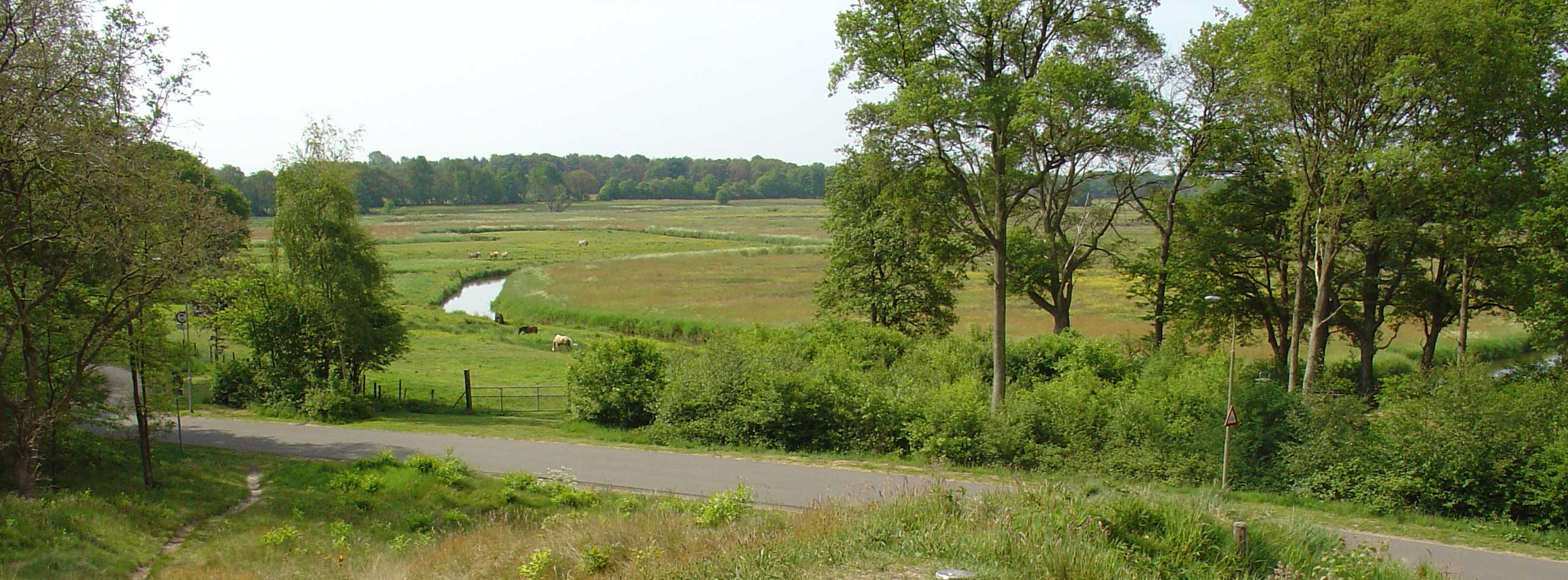
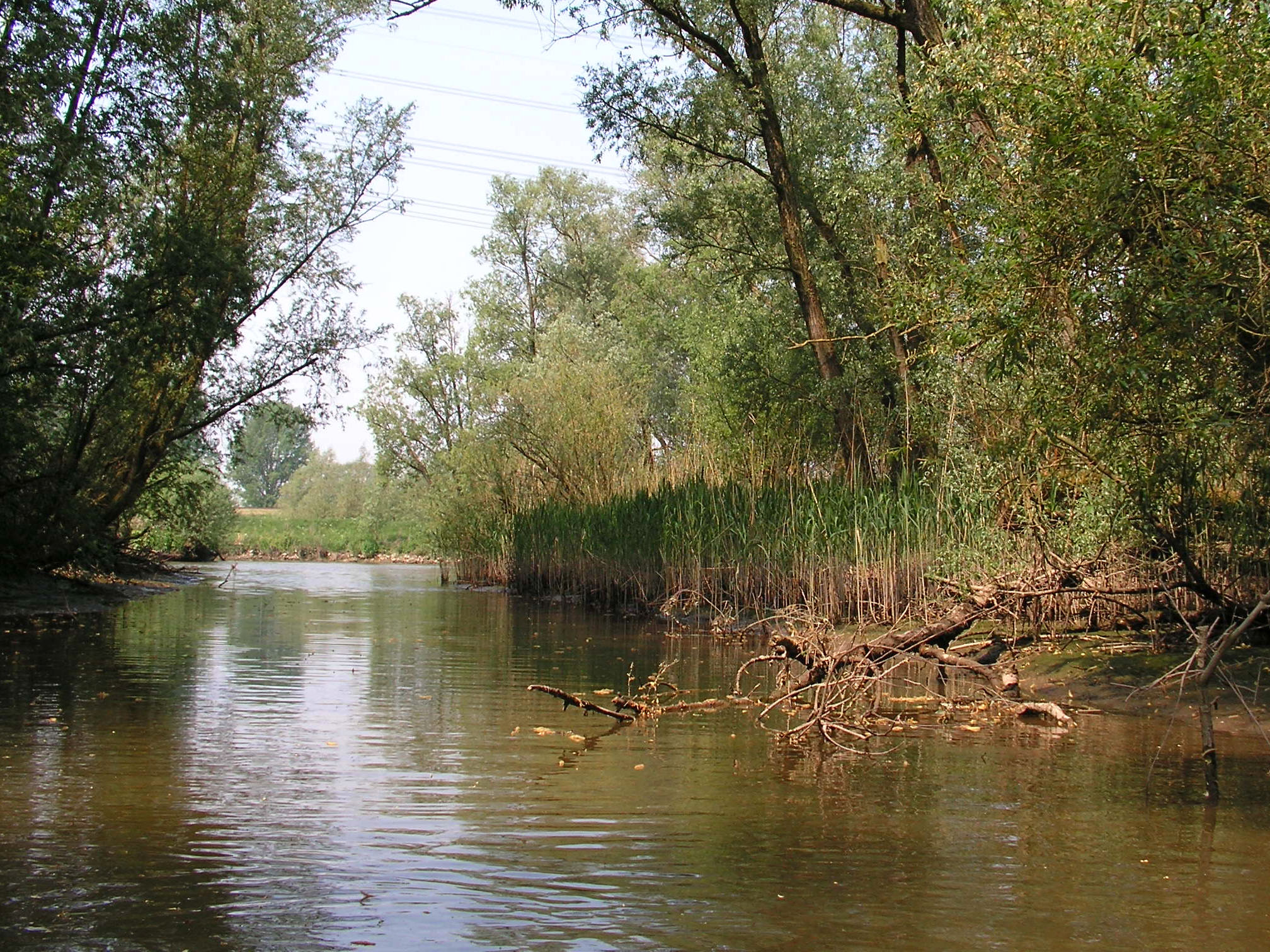
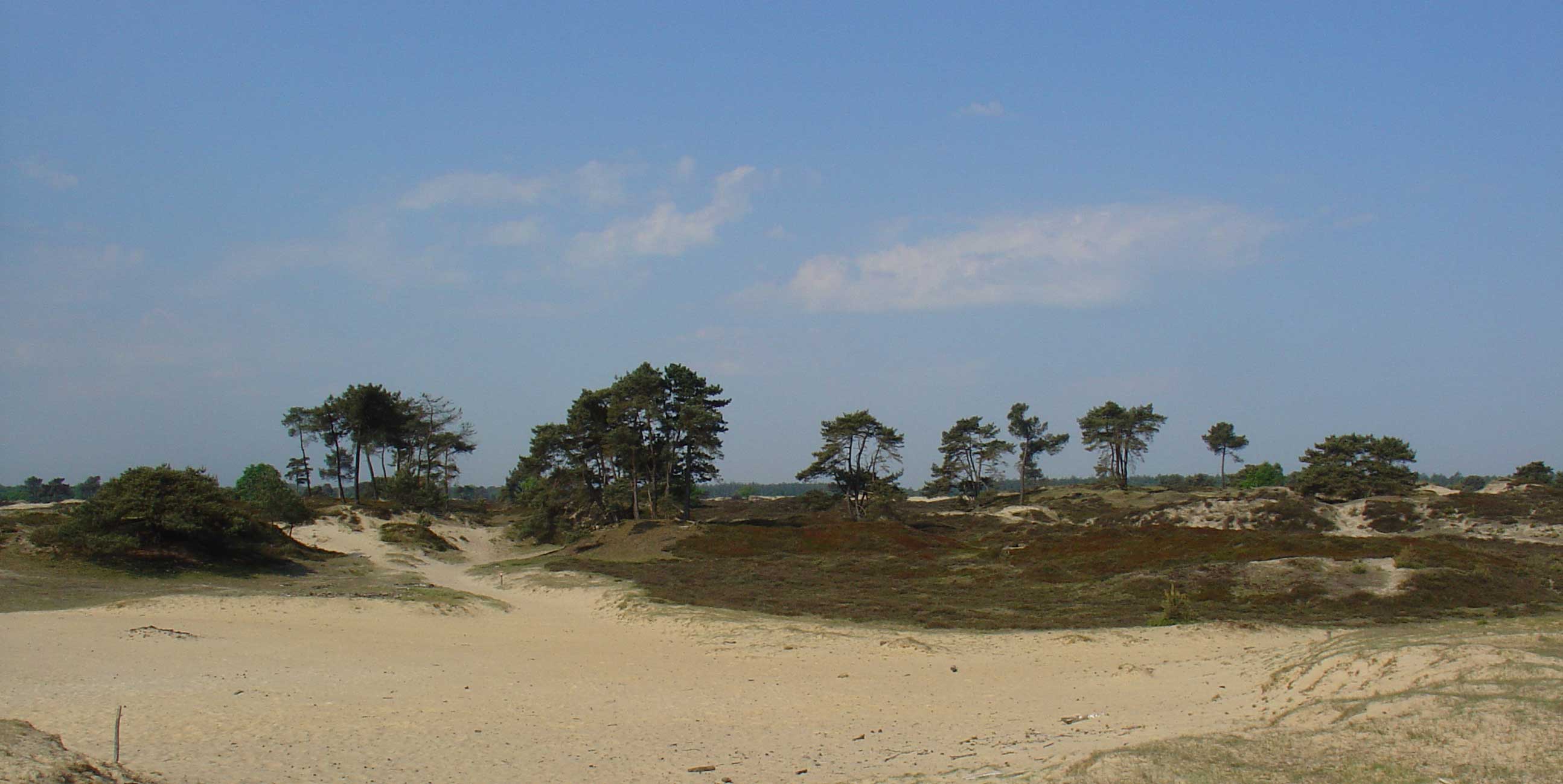
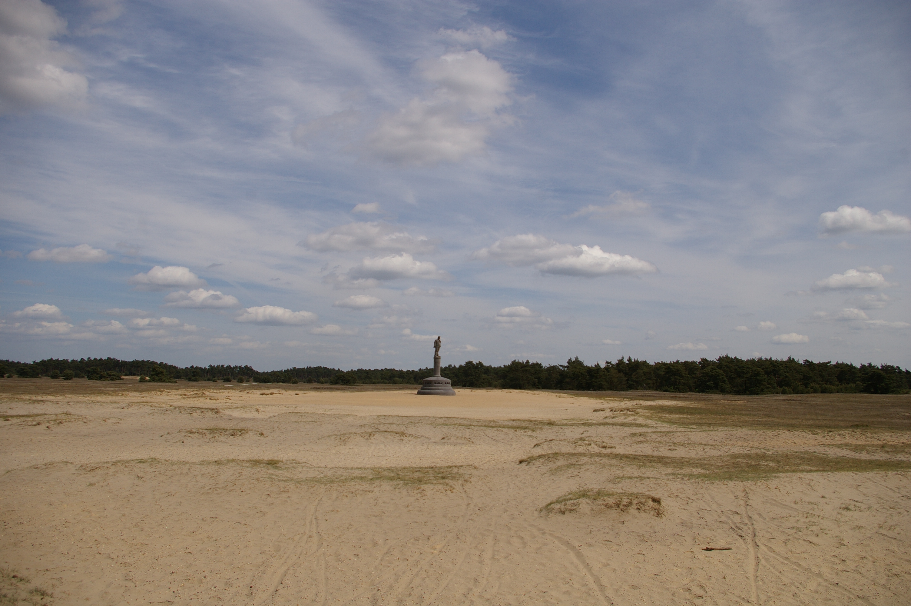
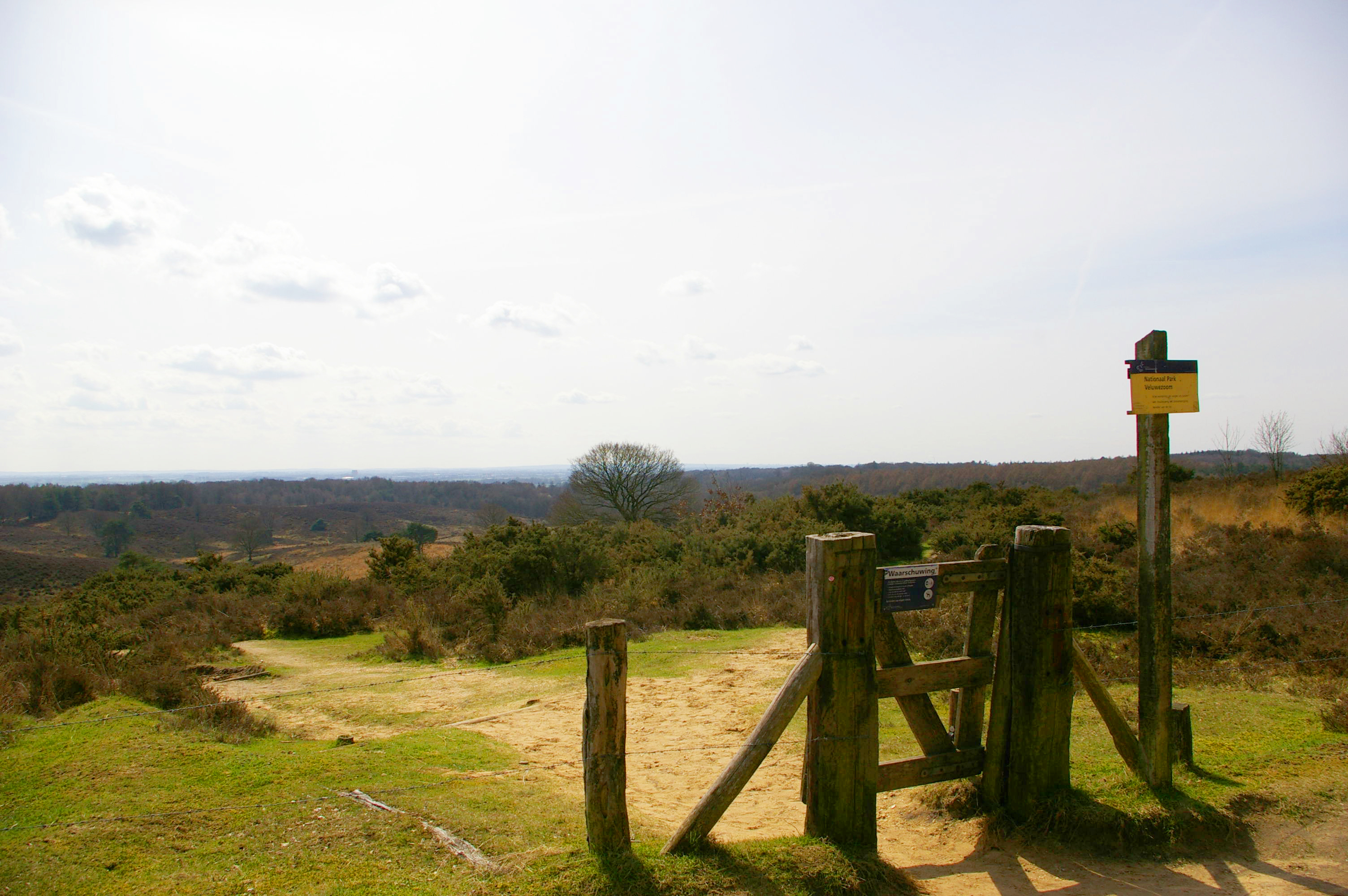
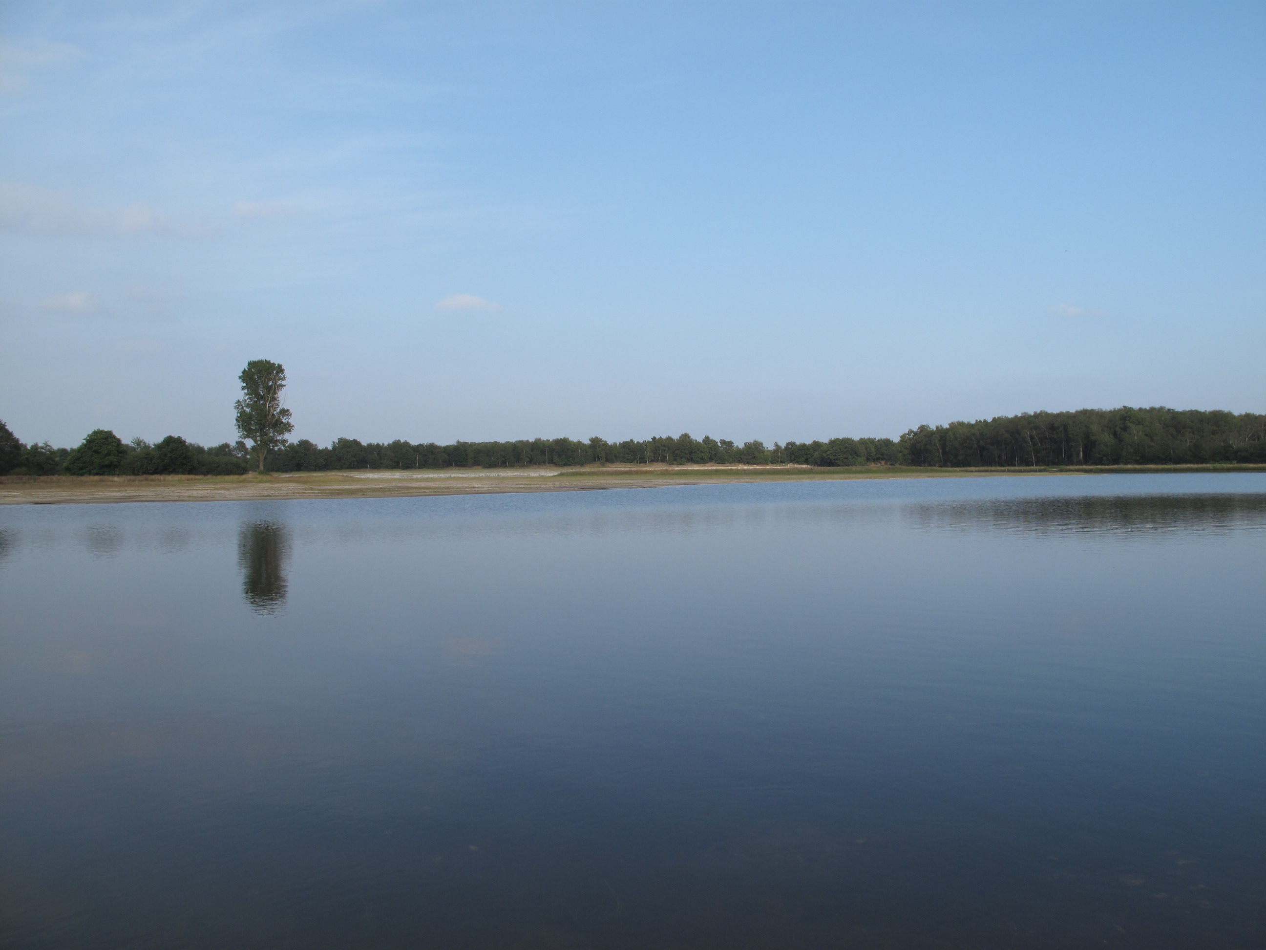
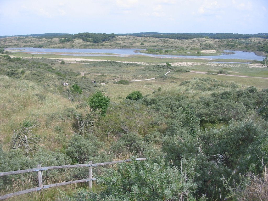
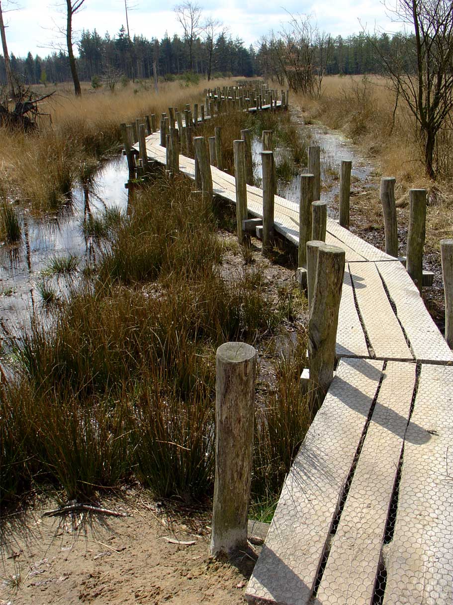
Lauwersmeer Photos
8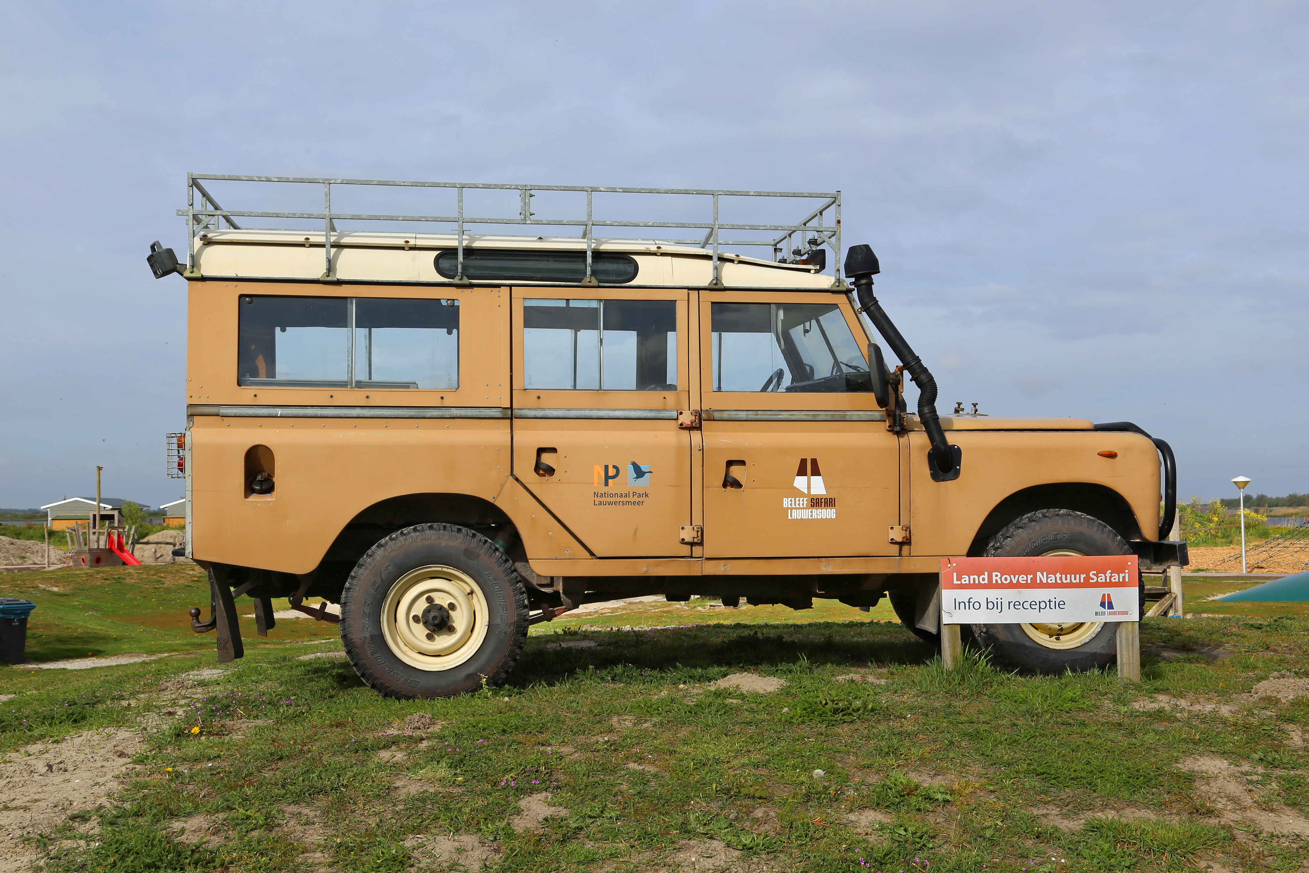
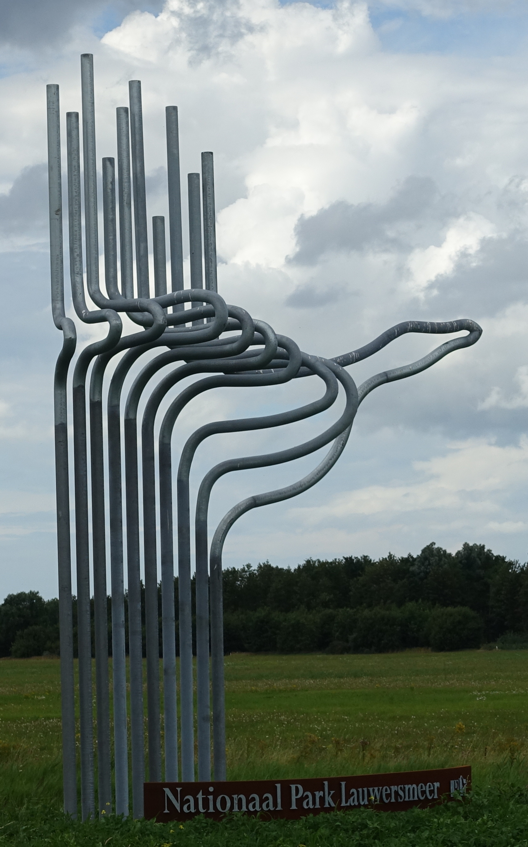
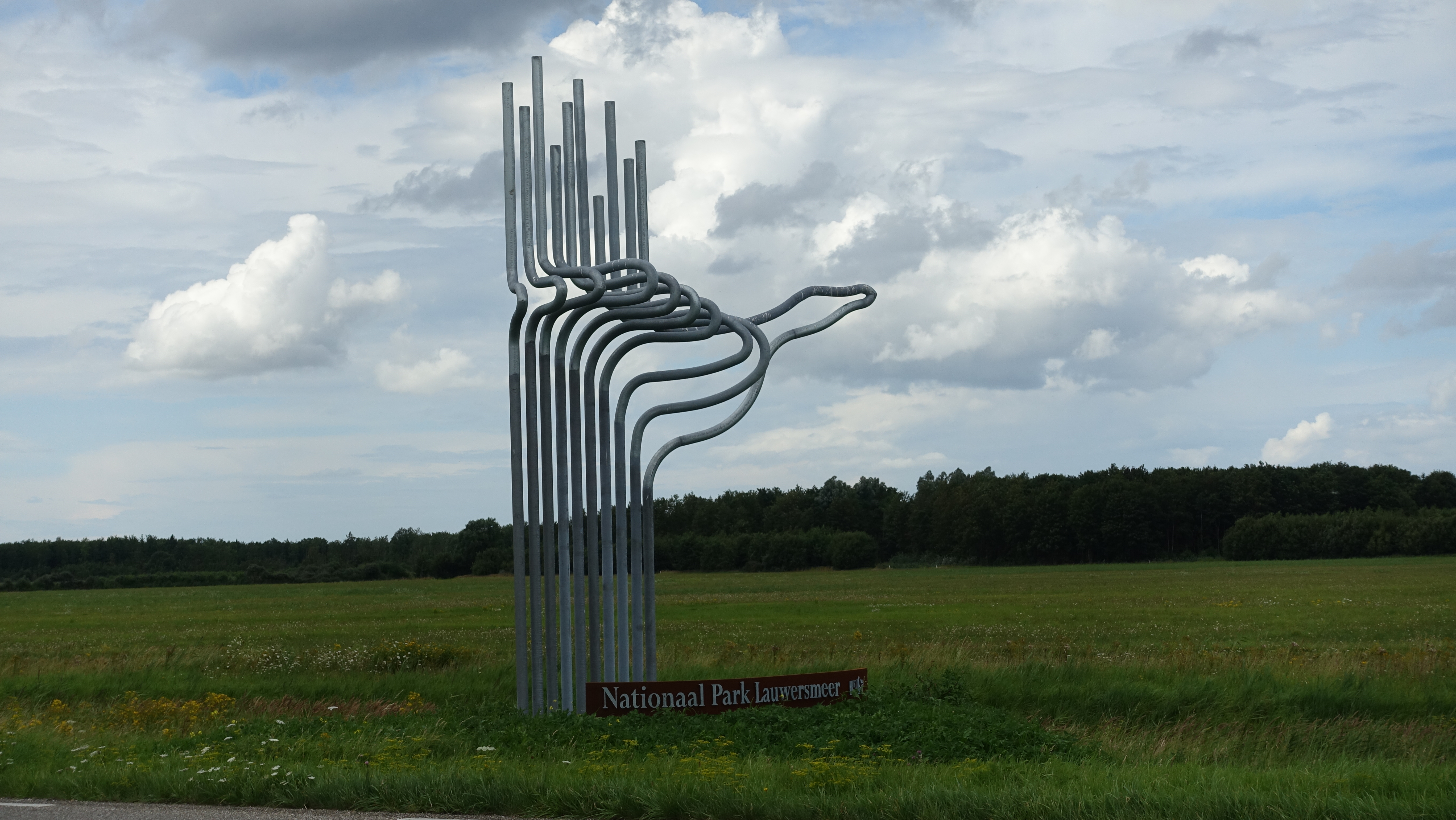
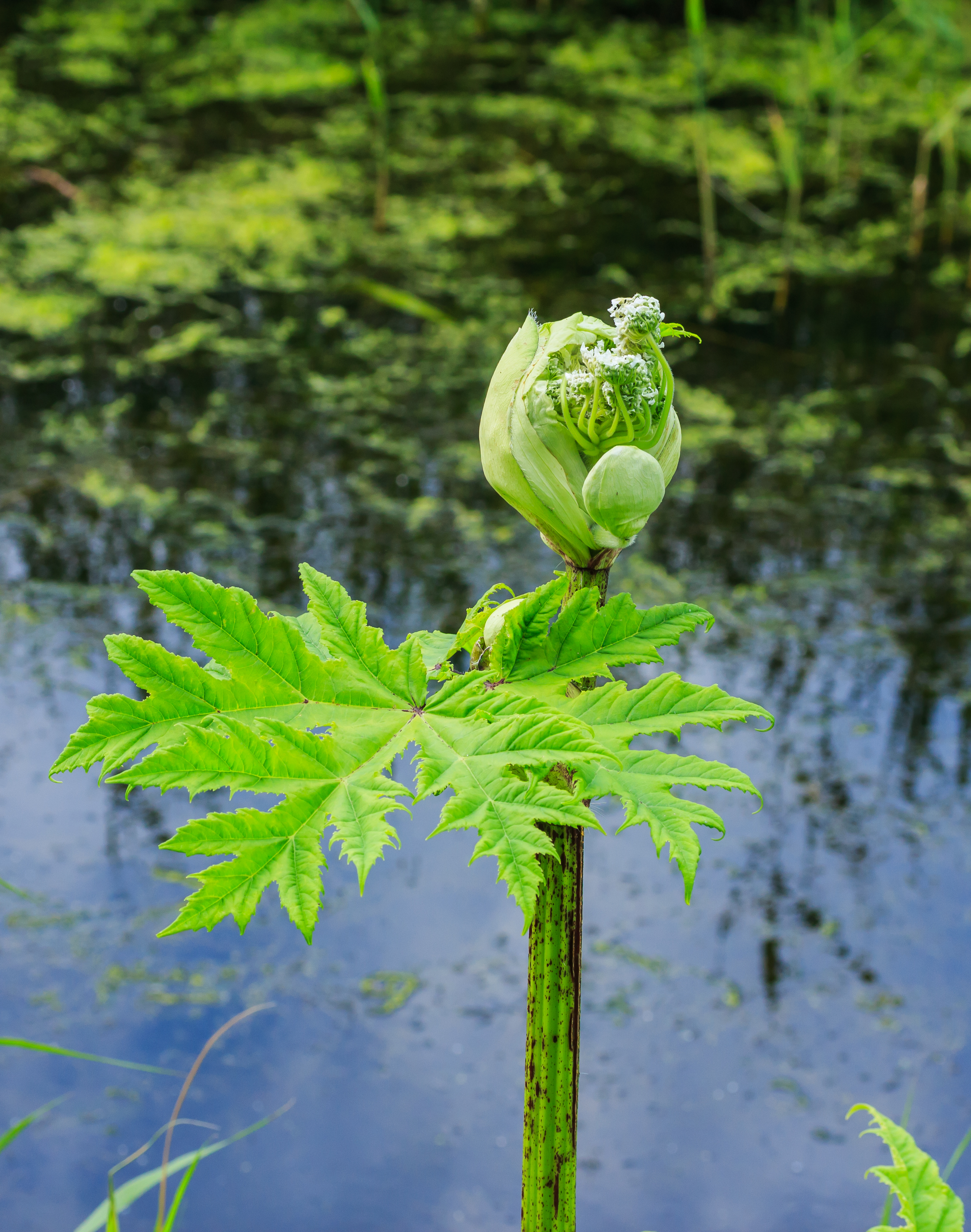
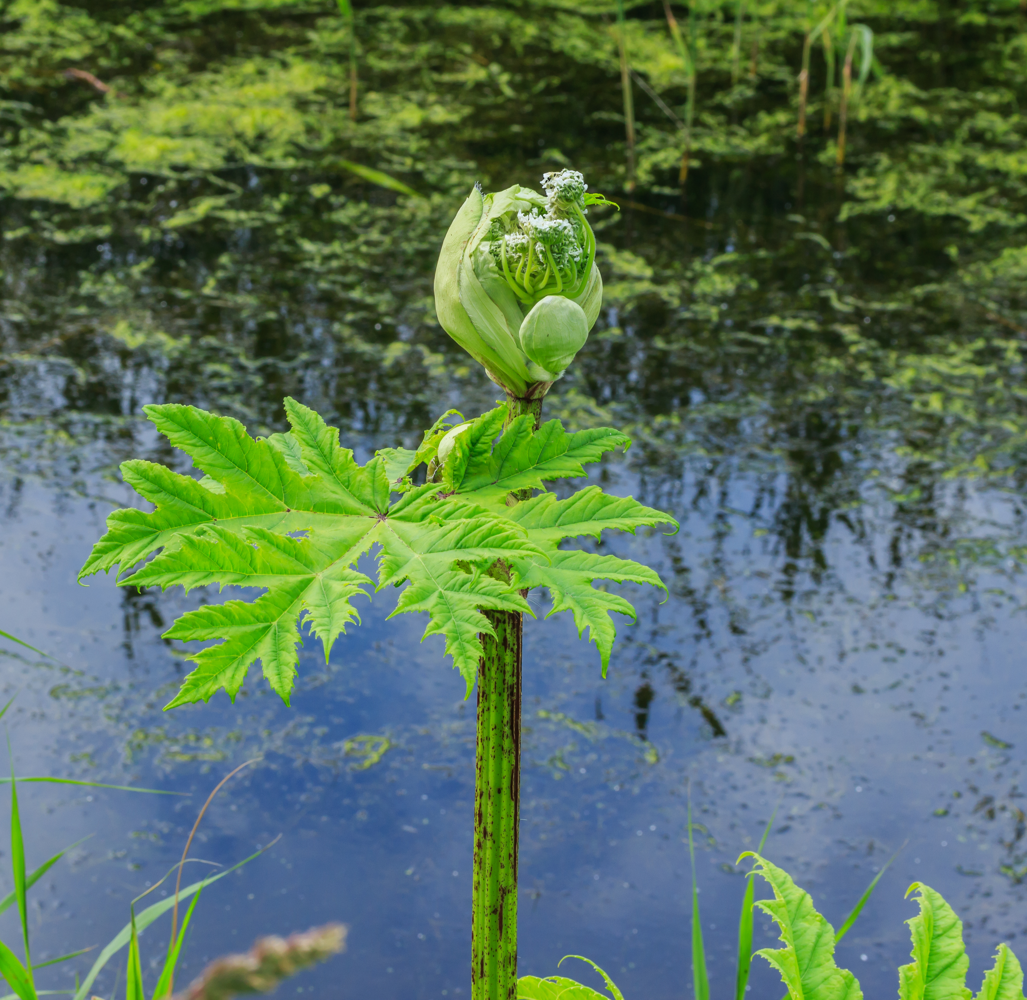
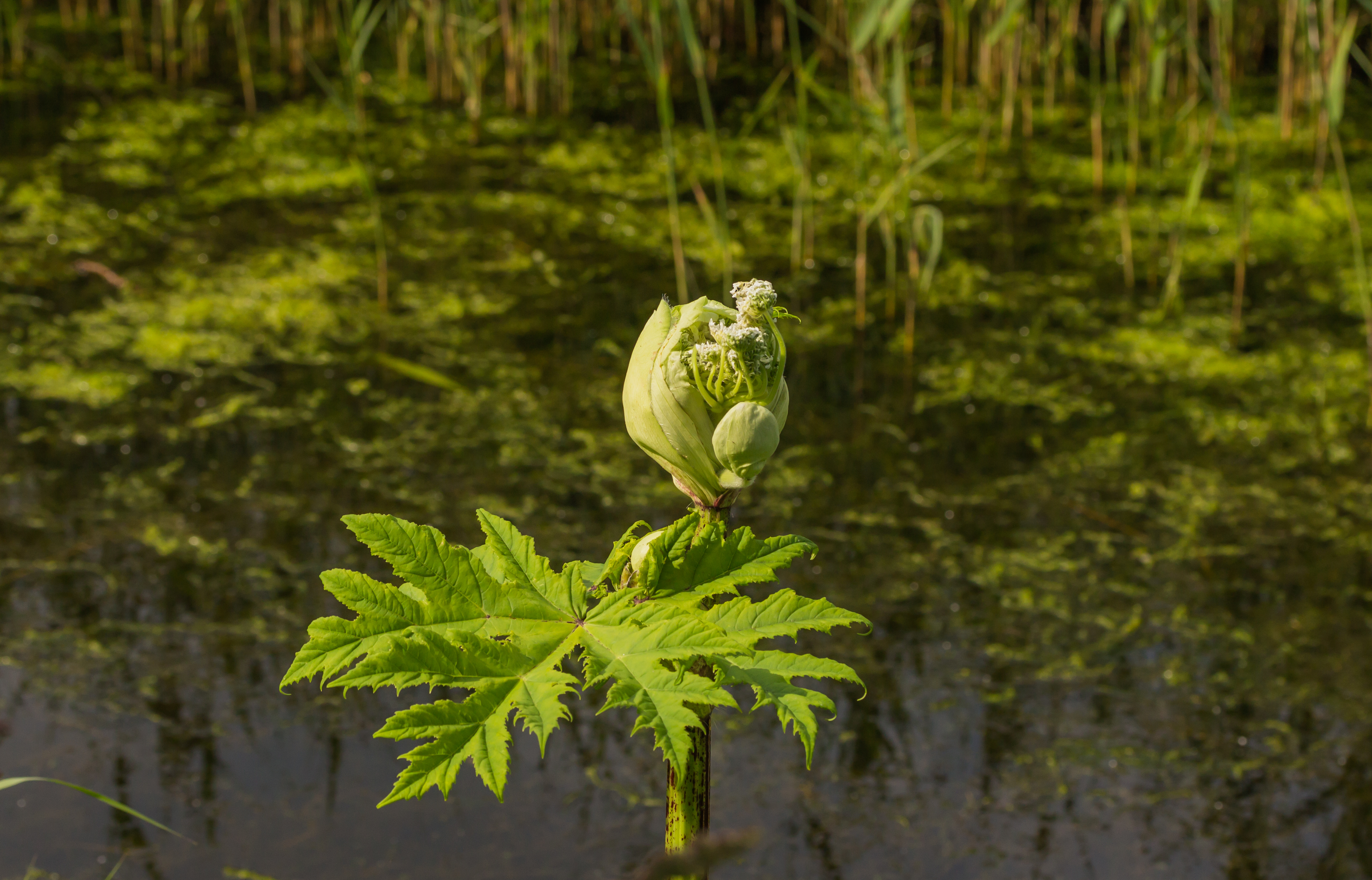


Photos from Wikimedia Commons. Licences vary per image.
Facilities
11 locationsLocation & Getting There
Lauwersmeer is located in Fryslân and Groningen, in the Netherlands. It covers 1 km², making it the 7th largest national park in the Netherlands.
The nearest village is Lauwersoog (5.0 km away). Other nearby towns include De Skâns-Oostmahorn (5.2 km), Kollumerpomp (6.4 km), Warfstermolen (7.9 km). For directions and visitor information, see the official park website.
Closest National Park